MyTopo
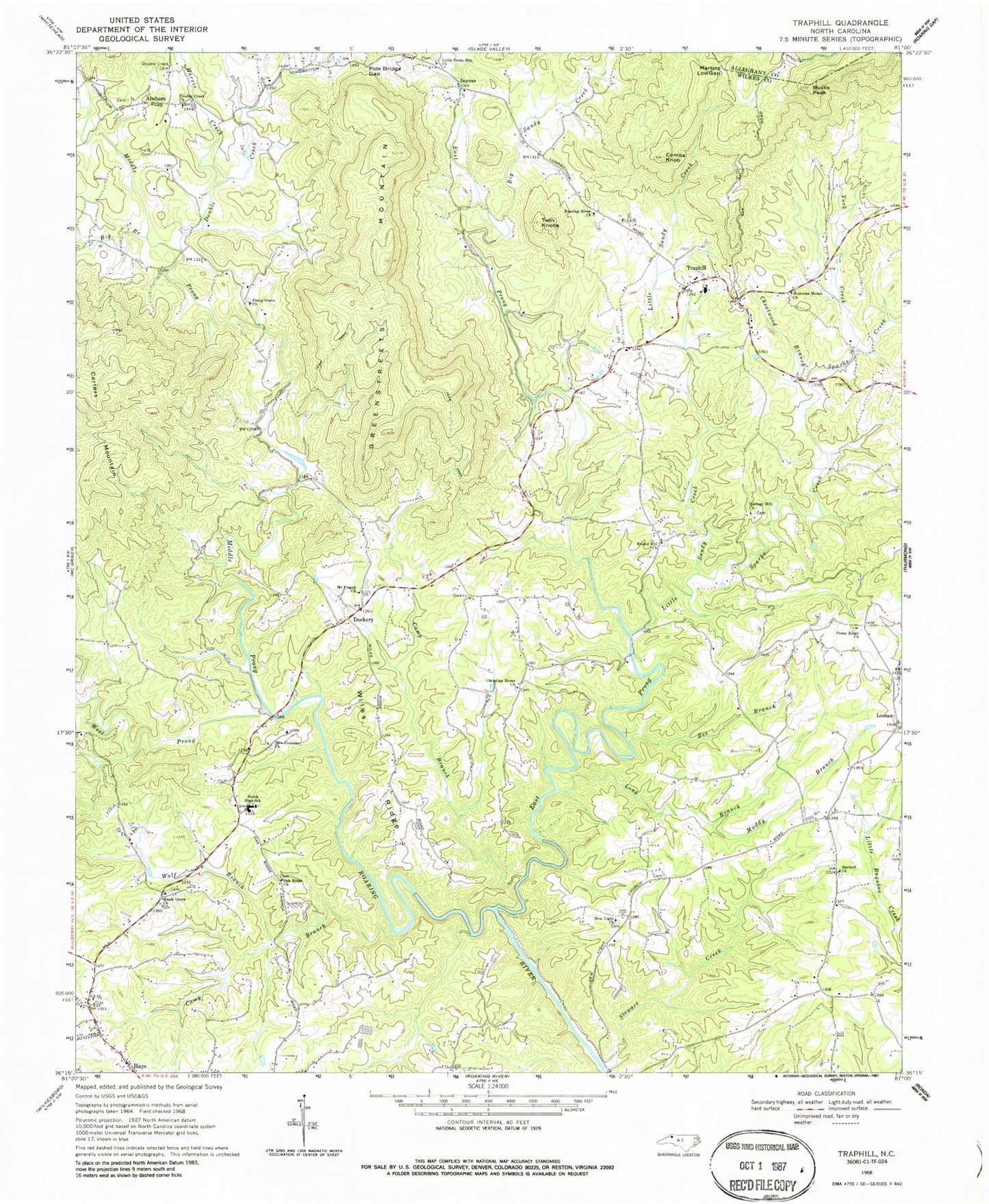
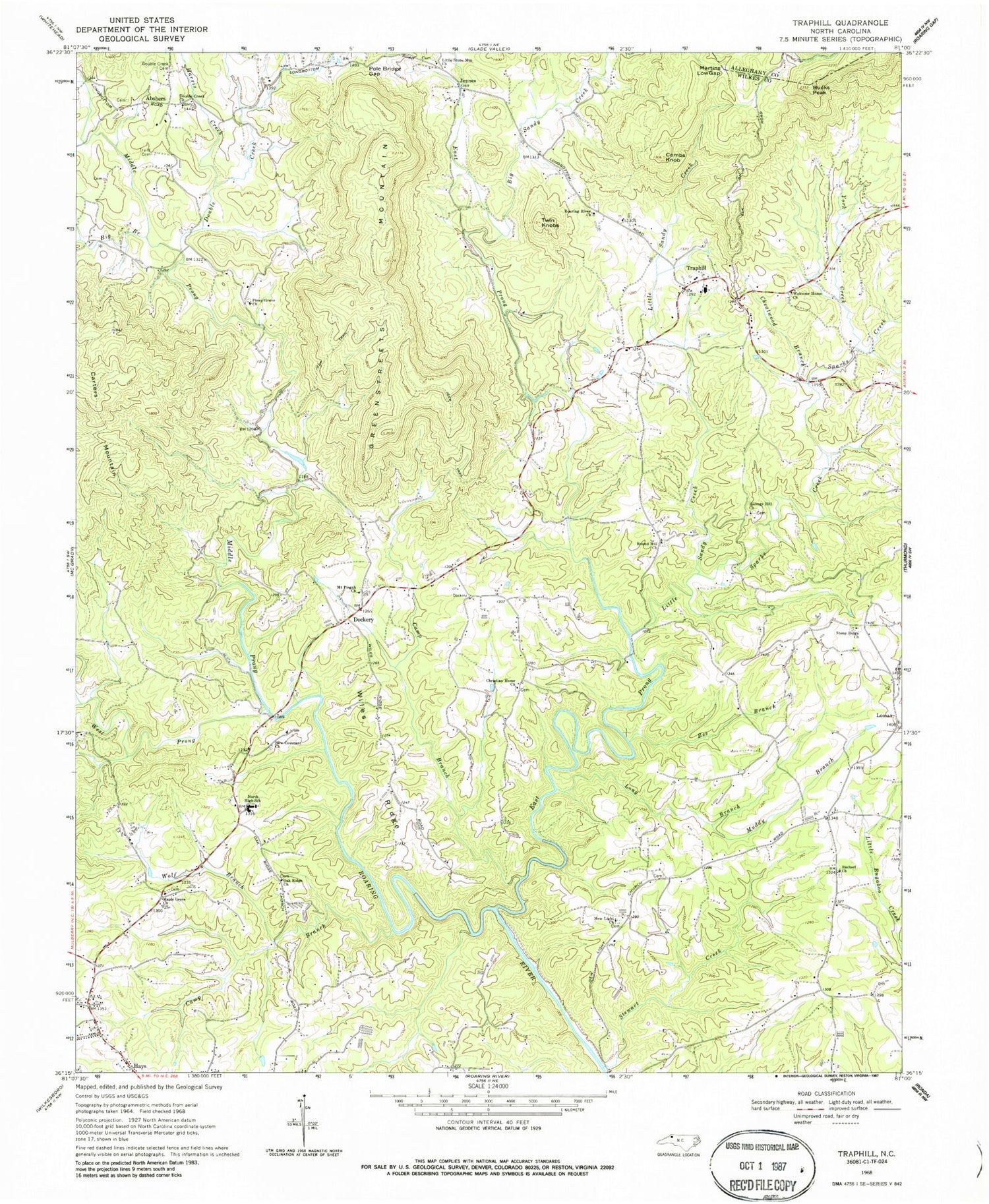
Classic USGS Traphill North Carolina 7.5'x7.5' Topo Map
Couldn't load pickup availability
Historical USGS topographic quad map of Traphill in the state of North Carolina. Map scale may vary for some years, but is generally around 1:24,000. Print size is approximately 24" x 27"
This quadrangle is in the following counties: Alleghany, Wilkes.
The map contains contour lines, roads, rivers, towns, and lakes. Printed on high-quality waterproof paper with UV fade-resistant inks, and shipped rolled.
Contains the following named places: Abshers, Baugas Mill, Bee Branch, Big Branch, Big Sandy Creek, Billings Hill Church, Brewers, Brewers Mill, Bucks Peak, Camp Branch, Cane Creek, Cheatwood Branch, Christian Home Church, Chuckle, Combs Knob, Covenant Church, Dockery, Double Creek, Double Creek Cemetery, Double Creek Church, Durham School, East Prong Roaring River, Greenstreets Mountain, Harris Creek, Holbrook School, Joynes, Little Sandy Creek, Little Stone Mountain Church, Lomax, Long Branch, Maple Grove Church, Martins Low Gap, McBride Store, Middle Prong Roaring River, Mount Pisgah Church, Mountain View Church, Moxley, Muddy Branch, New Covenant Baptist Church, New Light Church, North High School, Oak Ridge Church, Offer, Piney Grove Church, Pole Bridge Gap, Prices Store, Rachael Church, Roaring River Church, Round Hill Church, Shepherds Crossroads Volunteer Fire Department, Sloan Creek School, Sparks Creek, Stewart Creek, Stony Ridge Church, Township of Traphill, Traphill, Traphill Historic District, Traphill Post Office, Traphill Volunteer Fire Department, Traphill Volunteer Fire Department Substation, Truitt Cemetery, Twin Knobs, Welcome Home Church, West Prong Roaring River, Wiles Ridge, Wolf Branch, York Creek, Zebra, ZIP Code: 28685


