MyTopo
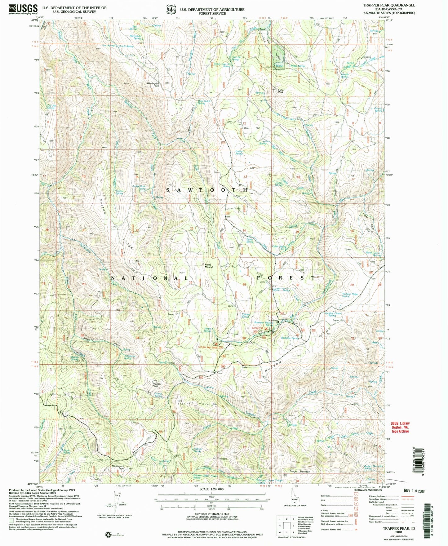
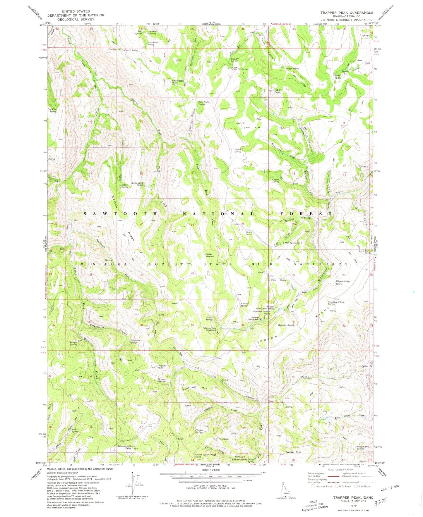
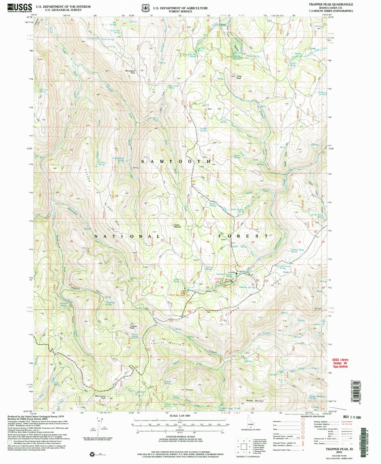
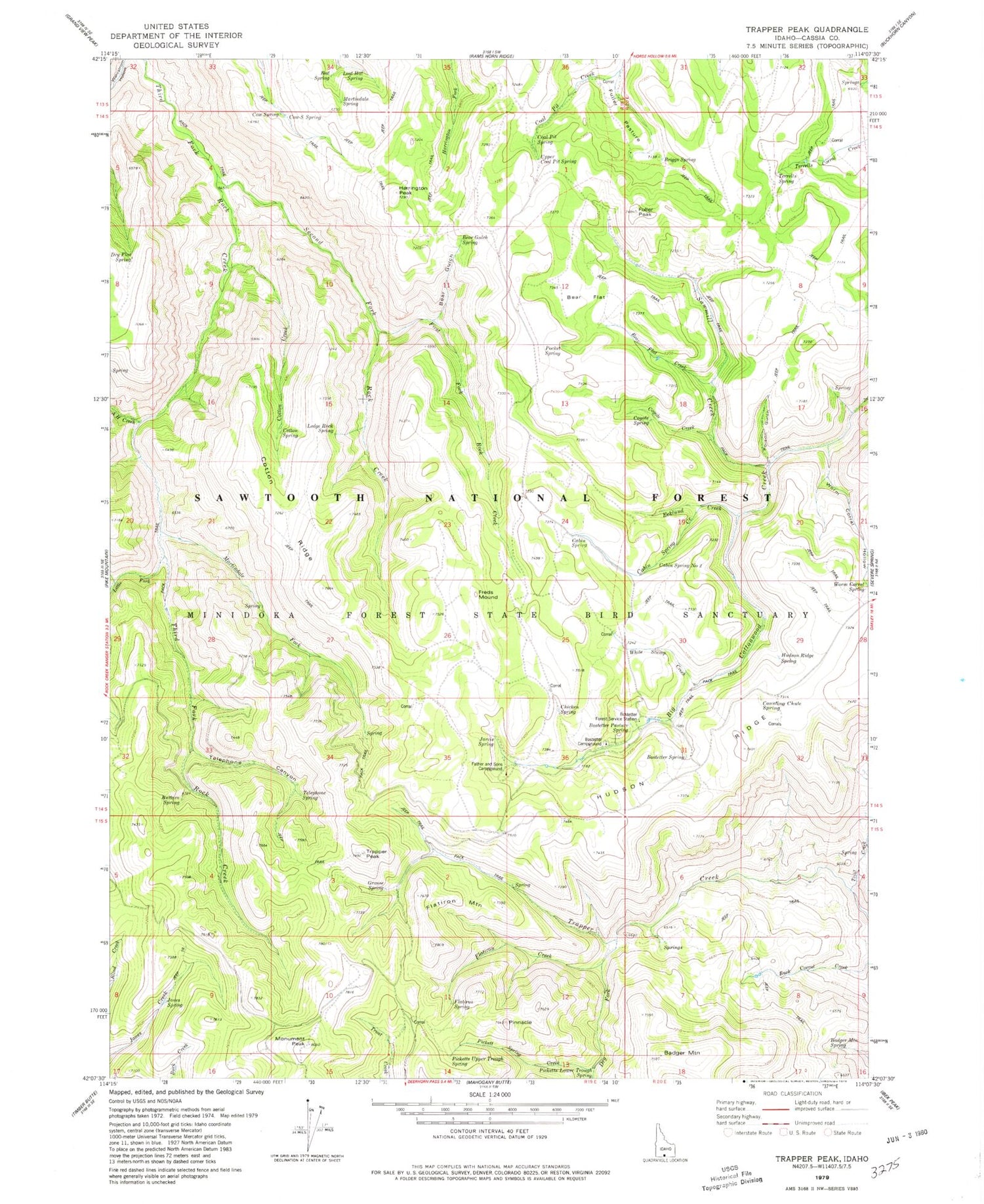
Classic USGS Trapper Peak Idaho 7.5'x7.5' Topo Map
Couldn't load pickup availability
Historical USGS topographic quad map of Trapper Peak in the state of Idaho. Map scale may vary for some years, but is generally around 1:24,000. Print size is approximately 24" x 27"
This quadrangle is in the following counties: Cassia.
The map contains contour lines, roads, rivers, towns, and lakes. Printed on high-quality waterproof paper with UV fade-resistant inks, and shipped rolled.
Contains the following named places: A H Creek, Badger Mountain, Badger Mountain Spring, Bear Flat, Bear Flat Creek, Bear Gulch, Bear Gulch Spring, Bed Spring, Bostetter Campground, Bostetter Forest Service Station, Bostetter Pasture Spring, Bostetter Spring, Briggs Spring, Buttars Spring, Cabin Spring, Cabin Spring Creek, Cabin Spring Number Two, Chicken Spring, Coal Pit Spring, Cotton Creek, Cotton Ridge, Cotton Spring, Counting Chute Spring, Cow Spring, Cow-S Spring, Coyote Creek, Coyote Spring, Cranny Spring, Dry Flat Spring, Dry Fork, Ecklund Creek, Father and Sons Campground, First Fork Rock Creek, Flatiron Creek, Flatiron Mountain, Flatiron Spring, Freds Mound, Fuller Pasture, Fuller Peak, Grouse Spring, Harrington Peak, Hudson Ridge, Hudson Ridge Spring, Jarvis Spring, Jones Spring, Ledge Rock Spring, Little Fork Third Fork Rock Creek, Martindale Fork, Martindale Spring, Monument Peak, Pickett Spring Creek, Picketts Lower Trough Spring, Picketts Upper Trough Spring, Pinnacle, Pocket Spring, Poison Gulch, Sawmill Creek, Second Fork Rock Creek, Telephone Canyon, Telephone Spring, Terrells Spring, Trail Creek, Trapper Peak, Upper Coal Pit Spring, White Stump Creek, Worm Corral Hollow, Worm Corral Spring


