MyTopo
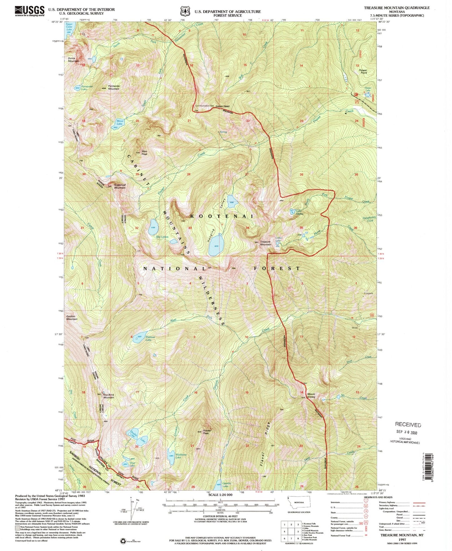
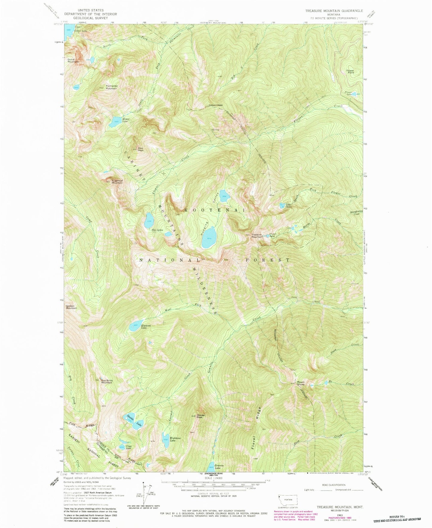
Classic USGS Treasure Mountain Montana 7.5'x7.5' Topo Map
Couldn't load pickup availability
Historical USGS topographic quad map of Treasure Mountain in the state of Montana. Typical map scale is 1:24,000, but may vary for certain years, if available. Print size: 24" x 27"
This quadrangle is in the following counties: Lincoln, Sanders.
The map contains contour lines, roads, rivers, towns, and lakes. Printed on high-quality waterproof paper with UV fade-resistant inks, and shipped rolled.
Contains the following named places: Contact Creek, Crater Lake, Double Lake, Flavel Ridge, Flower Lake, Flower Point, Gus Brink Mountain, Hanging Valley, Houser Peak, Indian Head, Klatawa Lake, Minor Lake, North Fork Parmenter Creek, Lake Osakis, Parmenter Mountain, Sky Lakes, Mount Snowy, South Fork Parmenter Creek, Sugarloaf Mountain, Treasure Mountain, Vimy Lake, Weir Peak, West Fork Granite Creek, Wishbone Lake, Silver Mountain Mine, Victor-Empire Mine


