MyTopo
Classic USGS Tremont Pennsylvania 7.5'x7.5' Topo Map
Couldn't load pickup availability
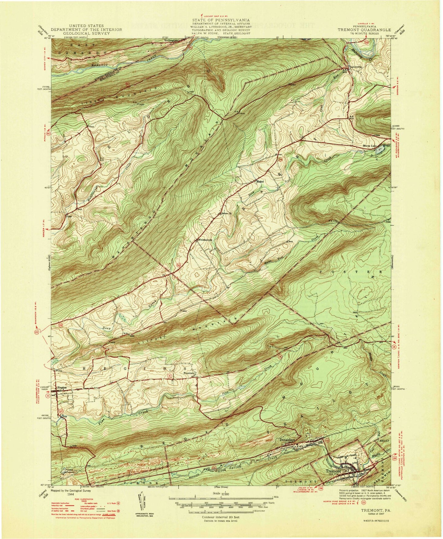
Historical USGS topographic quad map of Tremont in the state of Pennsylvania. Map scale may vary for some years, but is generally around 1:24,000. Print size is approximately 24" x 27"
This quadrangle is in the following counties: Northumberland, Schuylkill.
The map contains contour lines, roads, rivers, towns, and lakes. Printed on high-quality waterproof paper with UV fade-resistant inks, and shipped rolled.
Contains the following named places: Beury Lake, Beurys Lake, Beurys Lake Census Designated Place, Borough of Tremont, Coal Run, Crab Run, Dell Lake, Donaldson, Donaldson Census Designated Place, Donaldson Fire Company District 12 Station 1, Fountain, Haas, Hans Yost Creek, Hegins, Hegins Census Designated Place, Hegins Fire Company District 13 Station 1, Helfenstein, Hinkel Farms, I-81 Scenic View, Klingers School, Lake View Park, Lamberton, Little Mountain, Mabel, Middle Creek, Poplar Creek, Red Mountain, Saint John Church, Salem Church, Taylorville, Township of Barry, Township of Eldred, Township of Frailey, Tremont, Tremont Area Ambulance, Tremont Elementary School, Tremont Fire Company District 67 Station 1, Tremont Police Department, Tremont Post Office, Union Church, Weishample, West Schuylkill Advanced Life Support, Zion Church, ZIP Code: 17981