MyTopo
Classic USGS Trenton West Missouri 7.5'x7.5' Topo Map
Couldn't load pickup availability
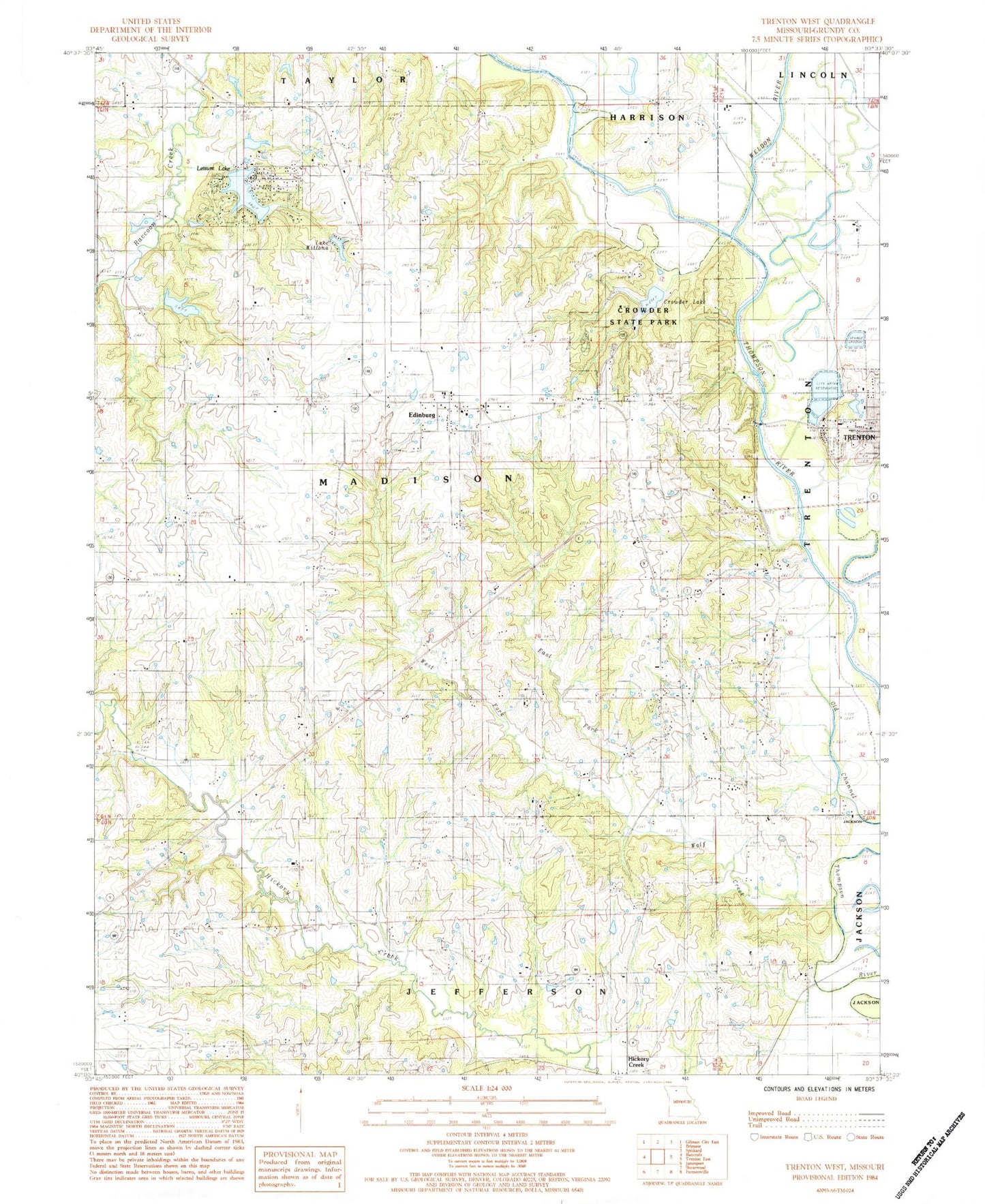
Historical USGS topographic quad map of Trenton West in the state of Missouri. Map scale may vary for some years, but is generally around 1:24,000. Print size is approximately 24" x 27"
This quadrangle is in the following counties: Grundy.
The map contains contour lines, roads, rivers, towns, and lakes. Printed on high-quality waterproof paper with UV fade-resistant inks, and shipped rolled.
Contains the following named places: Big Oak School, Bill Seltzer Lake, Bratton Cemetery, Coon Creek Cemetery, Crowder Dam, Crowder Lake, Crowder State Park, Davis Lake Dam, Dockery Church, Doctor Thompson Cemetery, East Fork Wolf Creek, Edinburg, Edinburg - Leisure Lake - Brimson Rural Volunteer Fire Department, Edinburg Census Designated Place, Edinburg Independent Order of Odd Fellows Cemetery, Edinburg School, Estes School, Evans Peery Family Cemetery, Fulkerson Cemetery, George Peery Cemetery, Goodrich Lake Dam, Hammond Lake Dam, Lake Wittona, Lake Wittona Dam, Leisure Lake, Leisure Lake Census Designated Place, Leisure Lake Dam, Leisure Lake Dam Number 2, Lucas Cemetery, Maple Grove Cemetery, Masonic Cemetery, McCammon Cemetery, Metcalf Cemetery, Middle Creek, Mononame 574 Dam, Oakland School, Peery Chapel Cemetery, Peery School, Pine Lake, Pleasant Ridge School, Raccoon Church, Robert Peery Cemetery, Robertson School, Roselawn Cemetery, S M Rissler Elementary School, Sandridge Cemetery, Sarah Peery Cemetery, Smith School, South Oakland School, Tate School, Township of Madison, Trenton City Reservoir, Trenton Lake, Trenton Reservoir North Dam, Weldon River, West Fork Wolf Creek, Winn Cemetery, Wolf Creek, Zion Church


