MyTopo
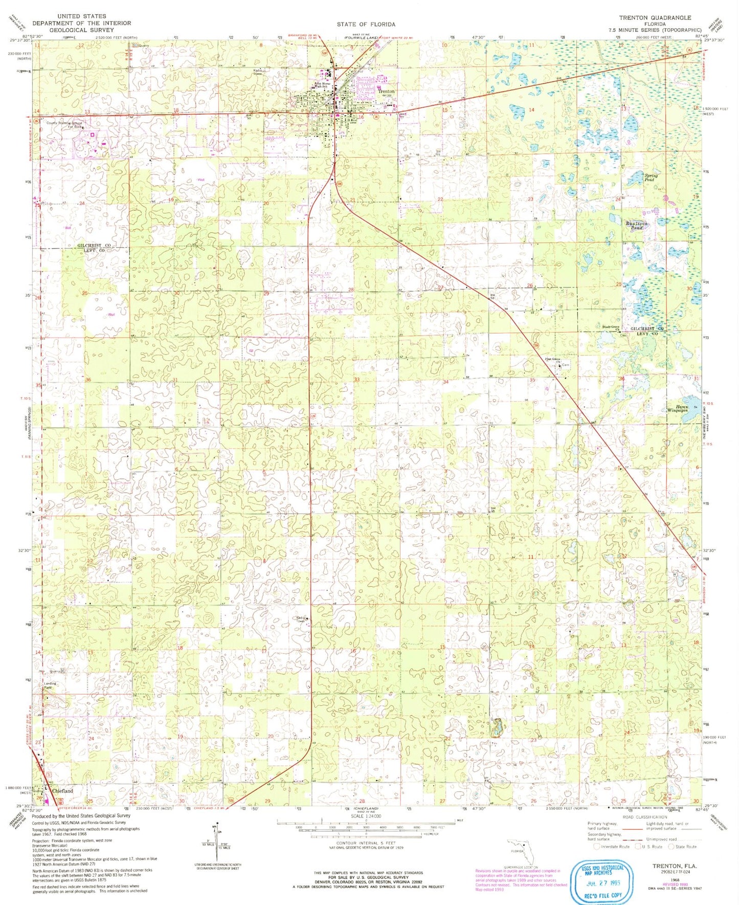
Classic USGS Trenton Florida 7.5'x7.5' Topo Map
Couldn't load pickup availability
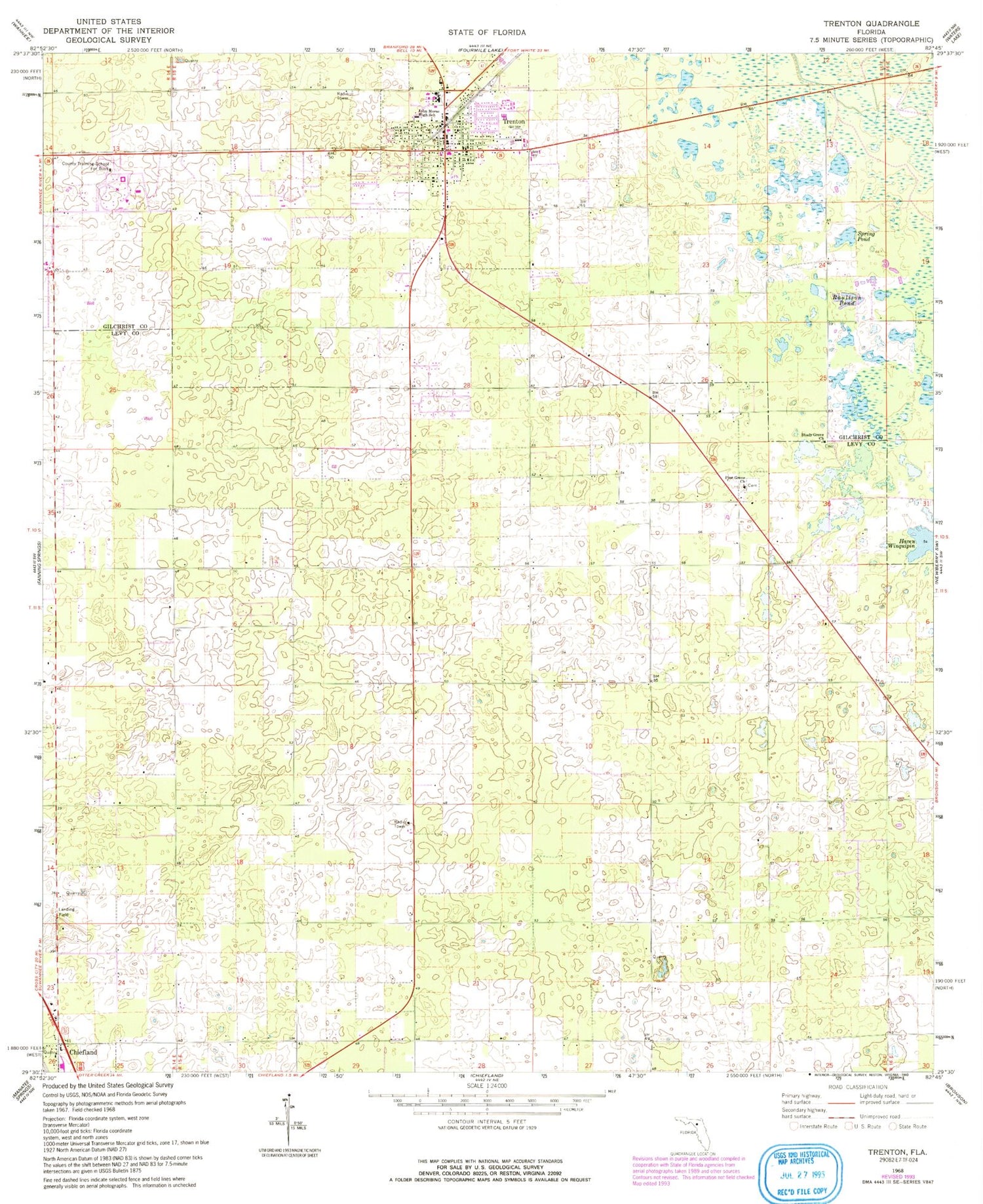
Historical USGS topographic quad map of Trenton in the state of Florida. Map scale may vary for some years, but is generally around 1:24,000. Print size is approximately 24" x 27"
This quadrangle is in the following counties: Gilchrist, Levy.
The map contains contour lines, roads, rivers, towns, and lakes. Printed on high-quality waterproof paper with UV fade-resistant inks, and shipped rolled.
Contains the following named places: Ames Field, Bethel African Methodist Episcopal Church, Brookins Air Strip, City of Trenton, Community Church of the Nazarene, Double Sink, Ebenezer Baptist Church, Gilchrist Adult Education, Gilchrist County Courthouse, Gilchrist County Public Library, Gilchrist County School Board, Gilchrist County Sheriff's Office, Haven Winquipin, Jesus Way Church of Deliverance, John Morse High School, Lancaster Correctional Institution, Living Praise Church of God, Neal Field, Pine Grove Baptist Church, Pine Grove Cemetery, Raulison Pond, Shady Grove Cemetery, Shady Grove Primitive Baptist Church, Spring Pond, Trenton, Trenton Church of Christ, Trenton Elementary School, Trenton First Baptist Church, Trenton High School, Trenton High School Football Stadium, Trenton Police Department, Trenton Post Office, Trenton State Park, Trenton United Methodist Church, Trenton Water Tower, WCWB-FM (Trenton), Westside Church of Christ, White Farms Airport, Windy Acres Airport


