
MyTopo
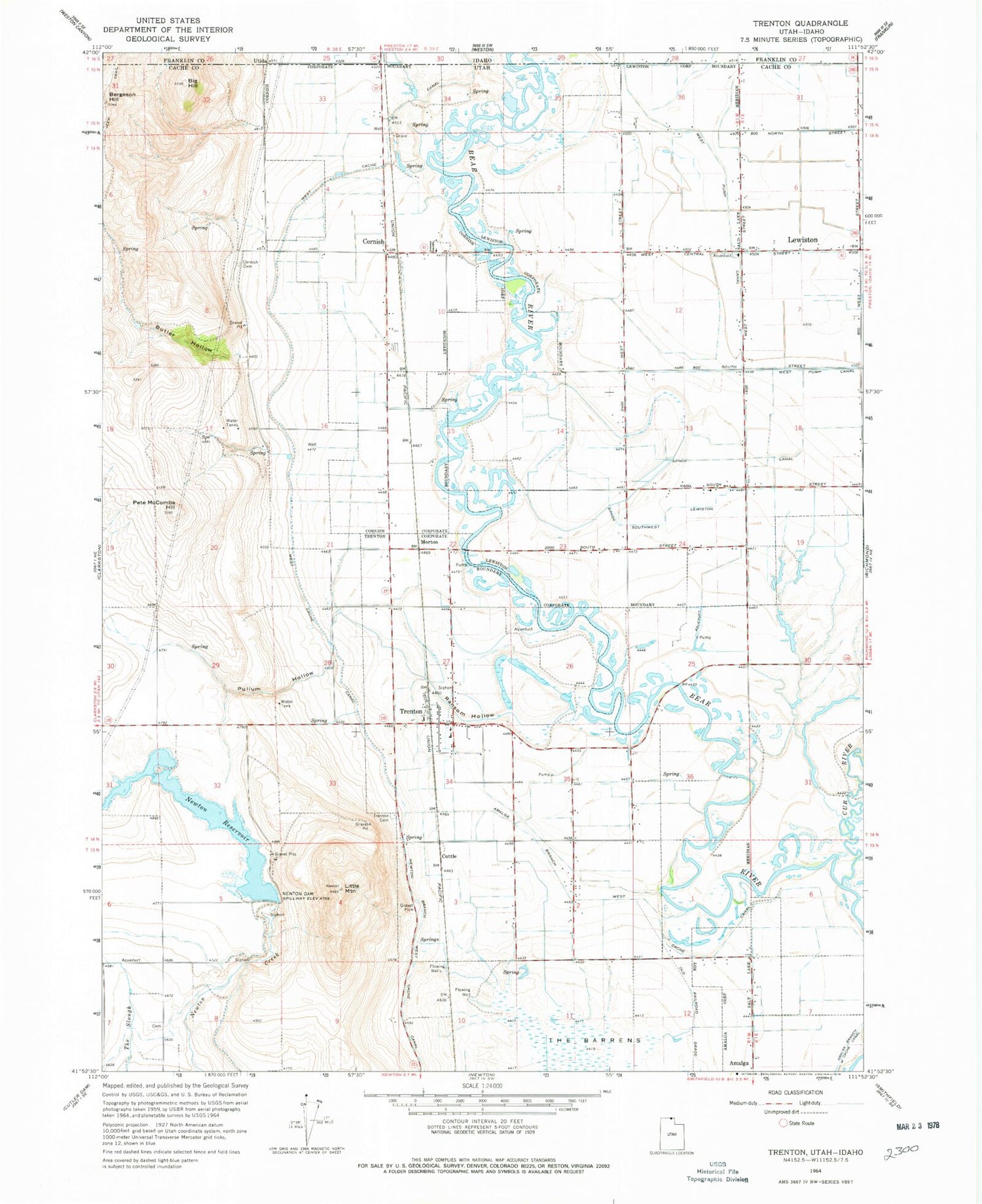
Classic USGS Trenton Utah 7.5'x7.5' Topo Map
Couldn't load pickup availability
Historical USGS topographic quad map of Trenton in the state of Utah. Map scale may vary for some years, but is generally around 1:24,000. Print size is approximately 24" x 27"
This quadrangle is in the following counties: Cache, Franklin.
The map contains contour lines, roads, rivers, towns, and lakes. Printed on high-quality waterproof paper with UV fade-resistant inks, and shipped rolled.
Contains the following named places: Amalga Branch West Cache Canal, Big Hill, Butler Hollow, City of Lewiston, Cornish, Cornish Cemetery, Cottle, Cub River, Lewiston Division, Little Mountain, Morton, Newton Branch West Cache Canal, Newton Cemeery, Newton Dam, Newton Reservoir, Pete McCombs Hill, Pullum Hollow, Ransom Hollow, Southwest Lewiston Canal, The Church of Jesus Christ of Latter Day Saints, Town of Cornish, Town of Trenton, Trenton, Trenton Cemetery, Trenton City Fire Department, Trenton Post Office, Utida, West Cache Canal, West Pump Canal, ZIP Code: 84338


