MyTopo
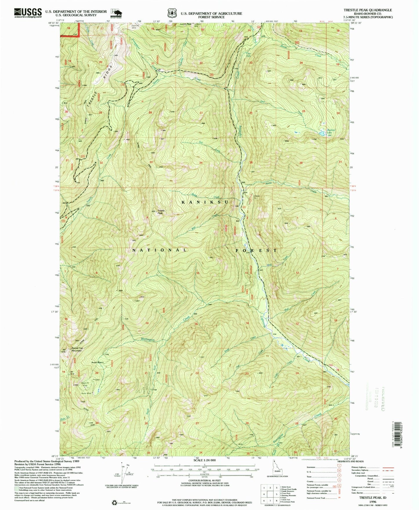
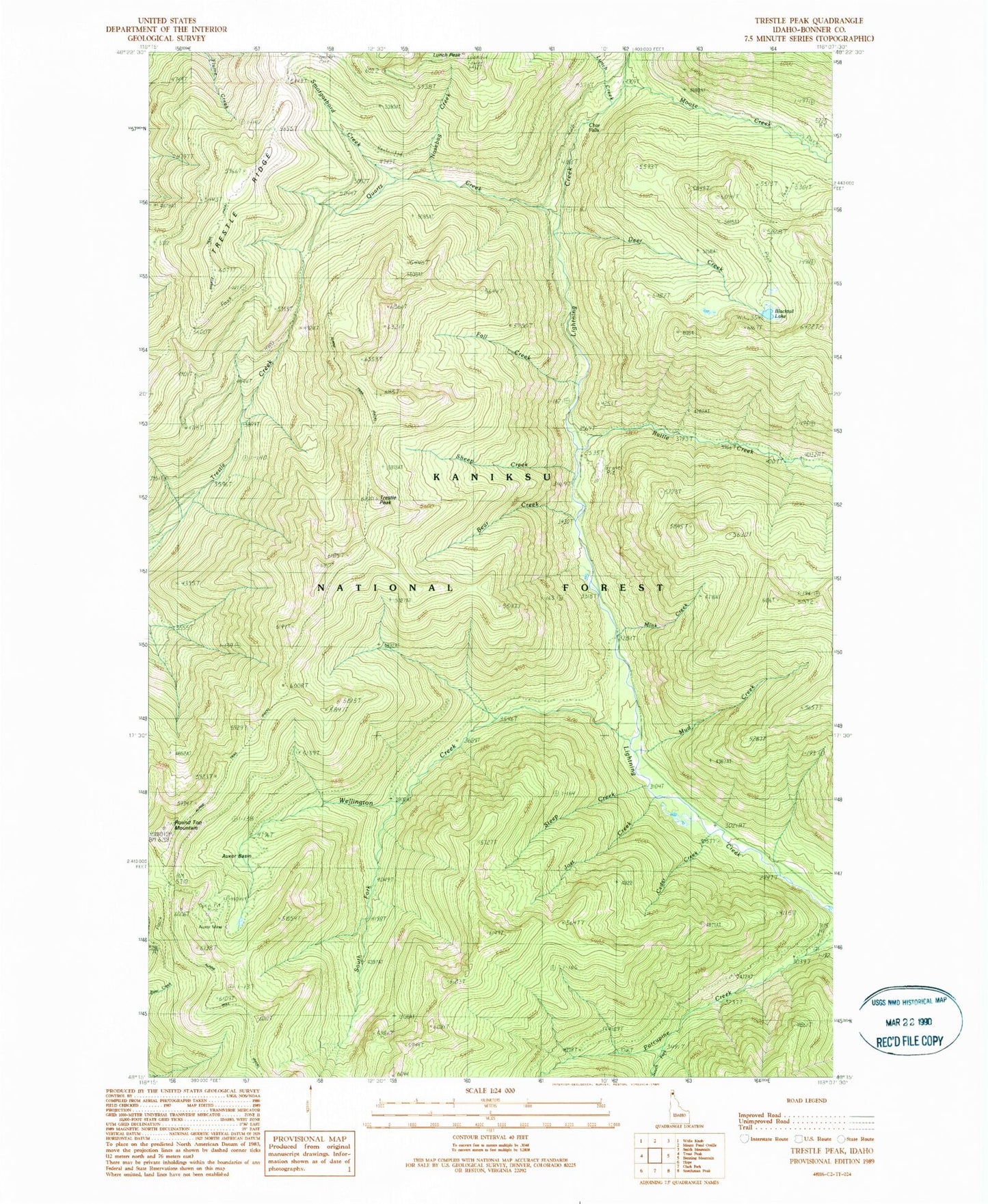
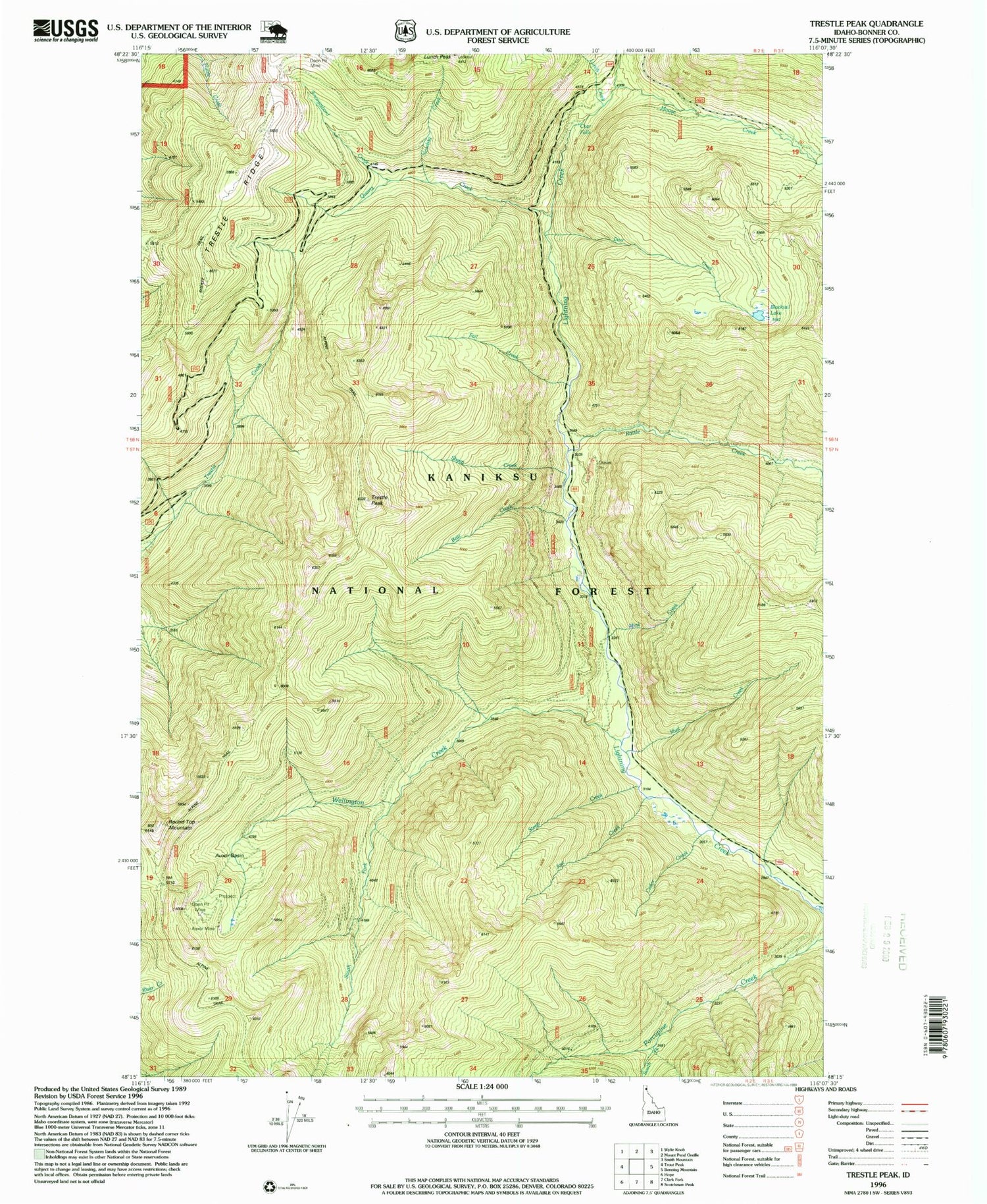
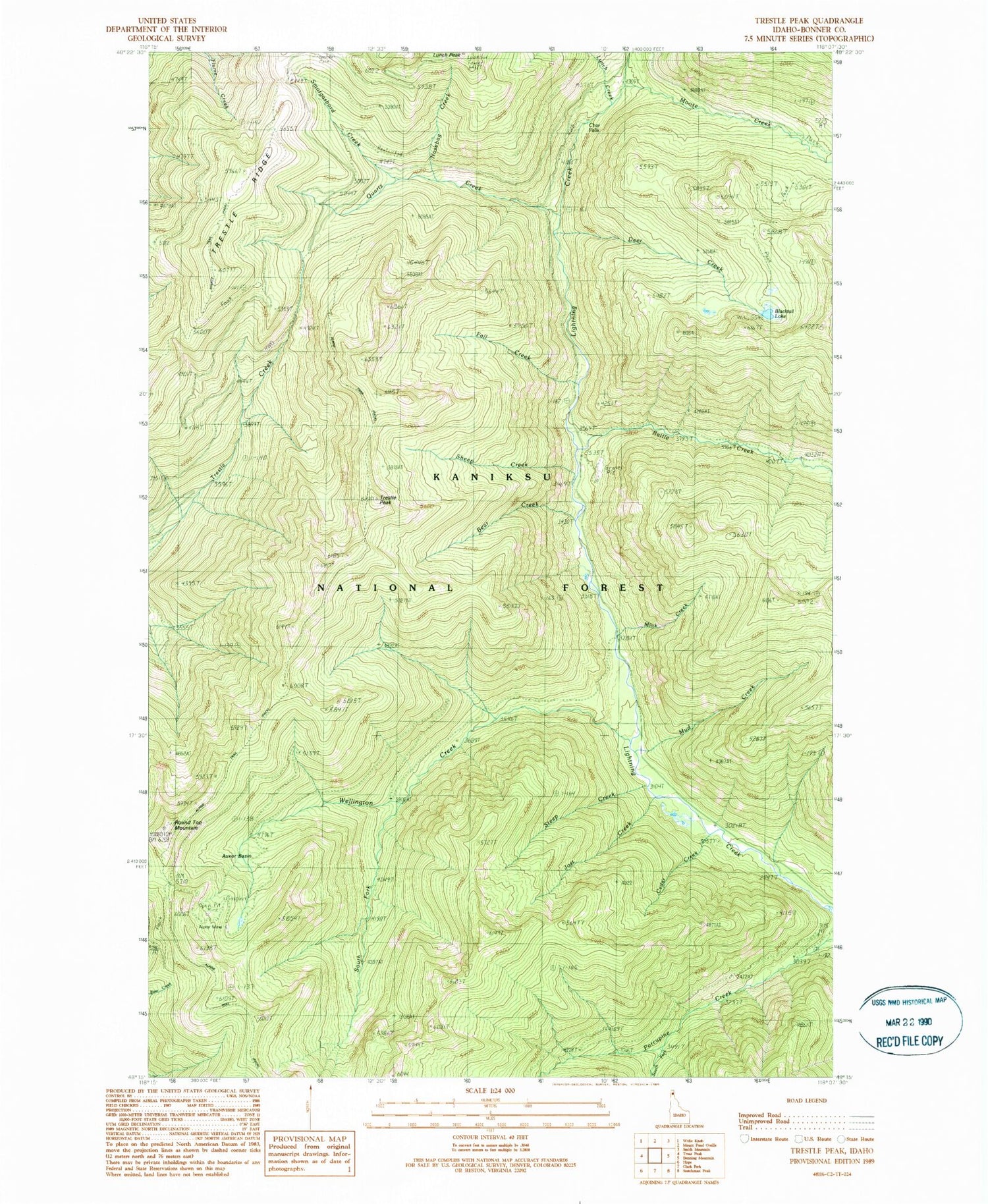
Classic USGS Trestle Peak Idaho 7.5'x7.5' Topo Map
Couldn't load pickup availability
Historical USGS topographic quad map of Trestle Peak in the state of Idaho. Typical map scale is 1:24,000, but may vary for certain years, if available. Print size: 24" x 27"
This quadrangle is in the following counties: Bonner.
The map contains contour lines, roads, rivers, towns, and lakes. Printed on high-quality waterproof paper with UV fade-resistant inks, and shipped rolled.
Contains the following named places: Auxor Mine, Auxor Basin, Bear Creek, Blacktail Lake, Cedar Creek, Deer Creek, Fall Creek, Lunch Creek, Lunch Peak, Mink Creek, Moose Creek, Quartz Creek, Rattle Creek, Rattle Creek Cabin (historical), Round Top Mountain, Sheep Creek, Shertz Trail, South Fork Wellington Creek, Steep Creek, Trestle Peak, Wellington Creek, Char Falls, Jost Creek, Nosebag Creek, South Fork Porcupine Creek, Trestle Ridge, Silvertip Creek, Smorgasbord Creek, Mud Creek


