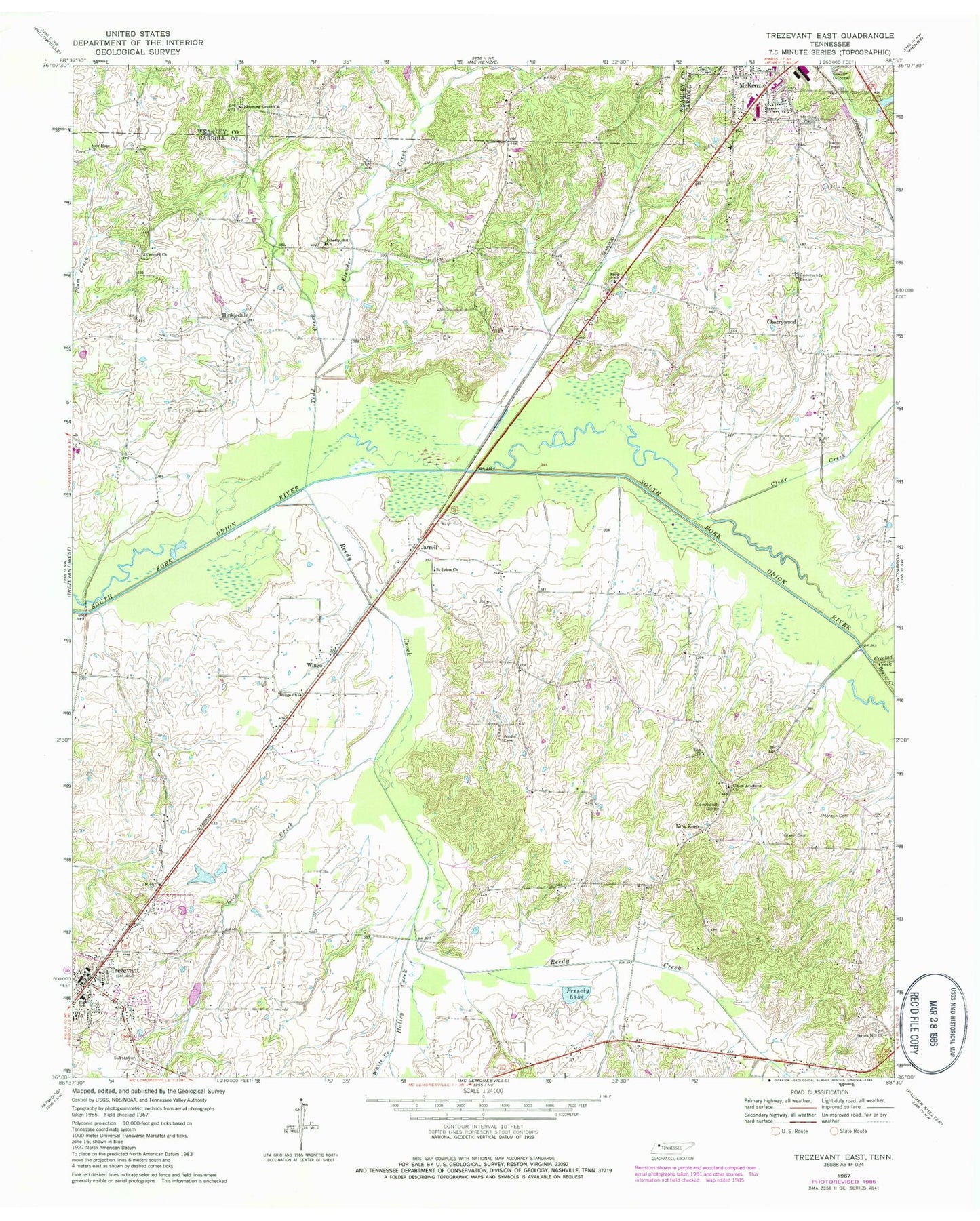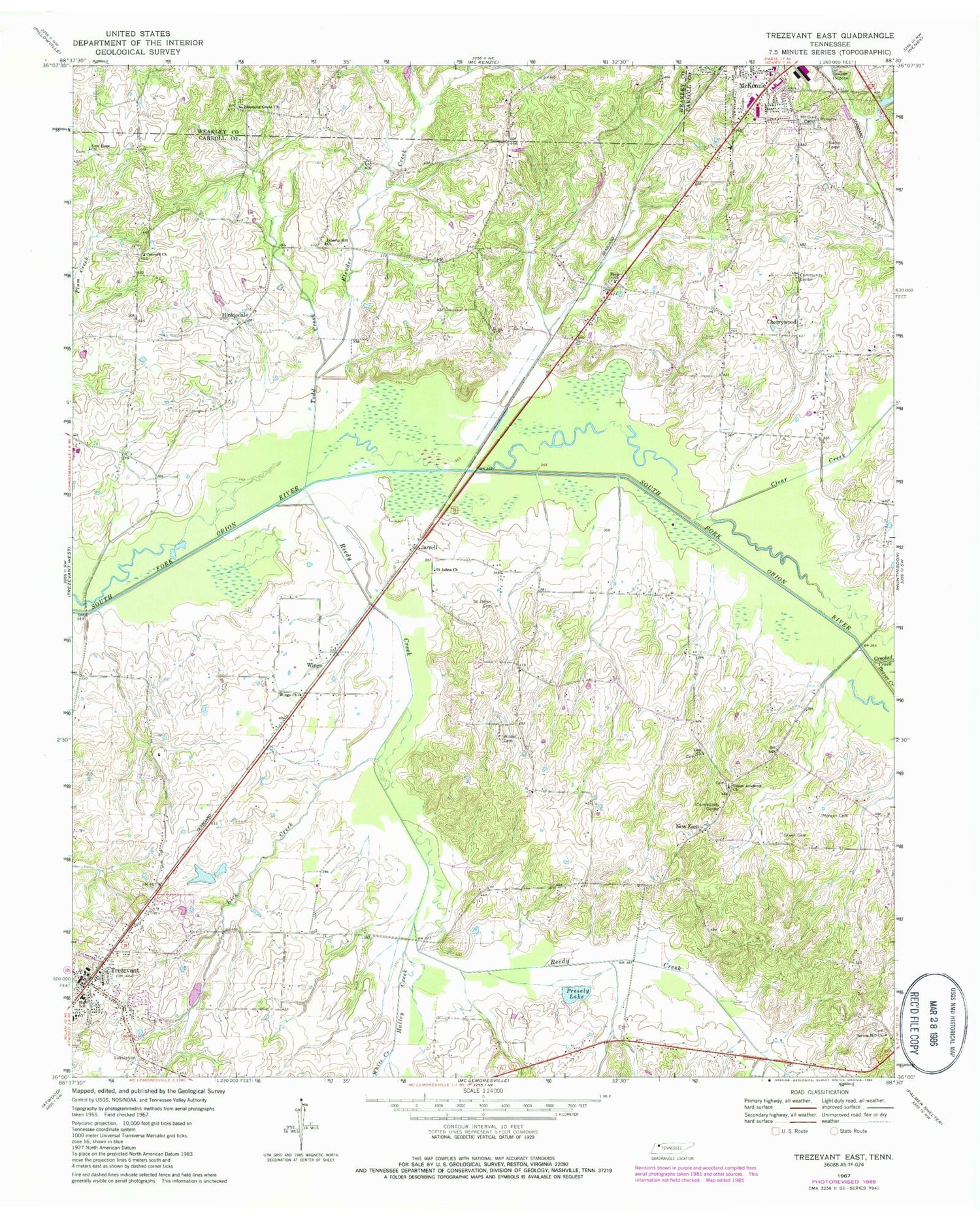
MyTopo
Classic USGS Trezevant East Tennessee 7.5'x7.5' Topo Map
Couldn't load pickup availability
Historical USGS topographic quad map of Trezevant East in the state of Tennessee. Map scale may vary for some years, but is generally around 1:24,000. Print size is approximately 24" x 27"
This quadrangle is in the following counties: Carroll, Weakley.
The map contains contour lines, roads, rivers, towns, and lakes. Printed on high-quality waterproof paper with UV fade-resistant inks, and shipped rolled.
Contains the following named places: Beaver Creek, Blooming Grove, Blooming Grove Cemetery, Blooming Grove Church, Bowden Church, Bowden School, Carroll County Rural Fire Department District 16 Trezevant, Cherrywood, Cherrywood Community Center, Clear Creek, Commissioner District 2, Commissioner District 8, Concord Baptist Church, Crooked Creek, District 19, District 22, Elender Creek, Enon, Enon Baptist Church, Enon Cemetery, Green Cemetery, Halley Creek, Hinkledale, Jarrell, Liberty Hill Baptist Church, Lick Creek, McKenzie Post Office, Morgan Cemetery, Mount Olivet Cemetery, New Bethel Church, New Hope Cemetery, New Hope Church, New Zion, Presely Lake, Presley Dam, Reedy Creek, Saint Johns Cemetery, Saint Johns Church, Shoof Lake, Shoof Lake Dam, Spring Hill Church, Todd Creek, Town of Trezevant, Trezevant, Trezevant Cemetery, Trezevant First Baptist Church, Trezevant High School, Trezevant Police Department, Trezevant Post Office, Turner Academy, Union Academy, Union Academy Baptist Church, Union Academy Cemetery, White Creek, Wilder Cemetery, Wingo, Wingo Church, Zion Church, Zion Church Cemetery, ZIP Codes: 38201, 38258