MyTopo
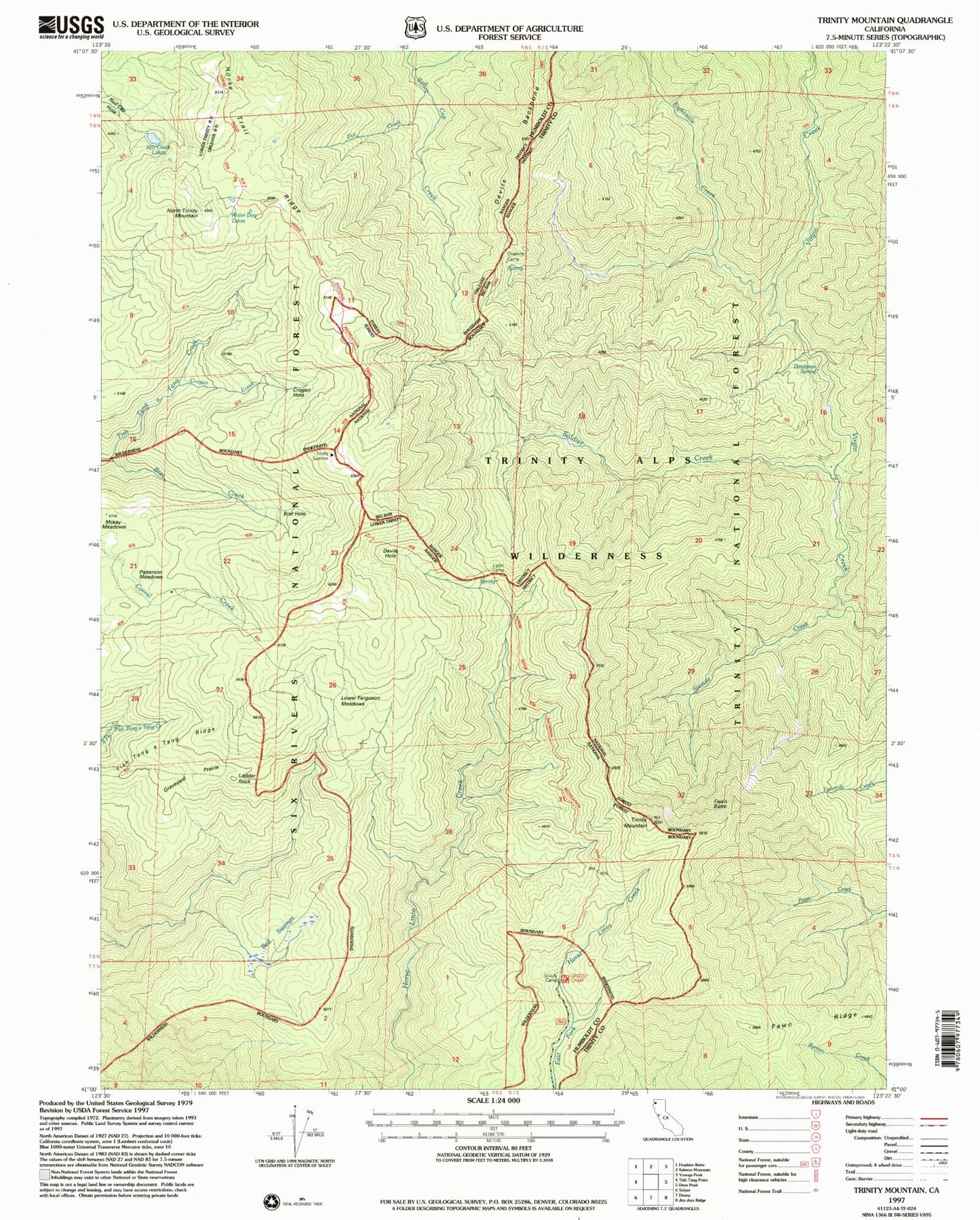
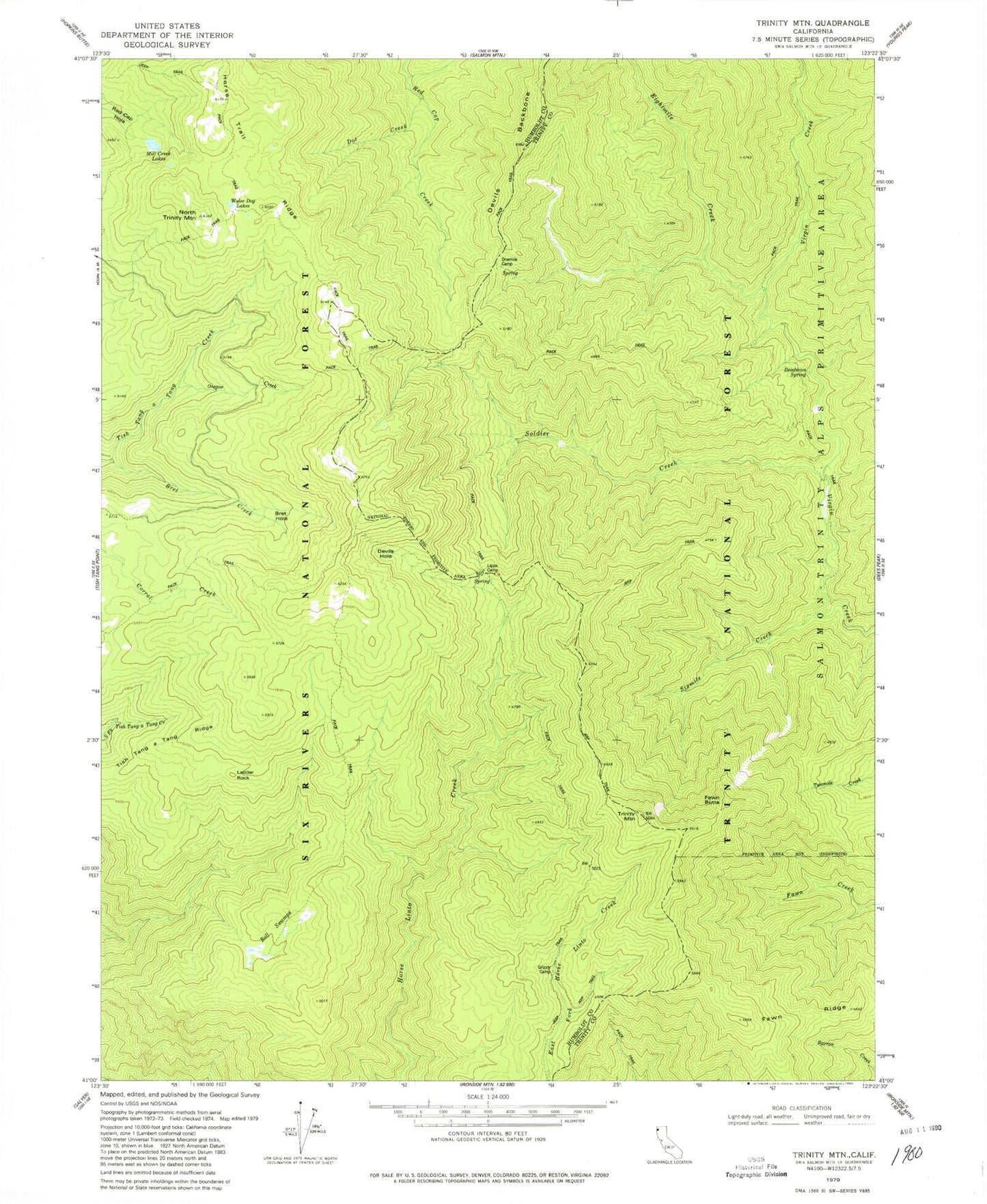
Classic USGS Trinity Mountain California 7.5'x7.5' Topo Map
Couldn't load pickup availability
Historical USGS topographic quad map of Trinity Mountain in the state of California. Map scale may vary for some years, but is generally around 1:24,000. Print size is approximately 24" x 27"
This quadrangle is in the following counties: Humboldt, Trinity.
The map contains contour lines, roads, rivers, towns, and lakes. Printed on high-quality waterproof paper with UV fade-resistant inks, and shipped rolled.
Contains the following named places: Bell Swamps, Bret Creek, Bret Hole, Crogan Creek, Crogan Hole, Deadman Spring, Devils Hole, Dot Creek, Eightmile Creek, Fawn Butte, Fawn Ridge, Graveyard Prairie, Grizzly Camp, Horse Trail Ridge, Ladder Rock, Langworthy Cabin, Lipps Camp, Mill Creek Lakes, North Trinity Mountain, One Mile Spring, Onemile Camp, Oregan Creek, Red Cap Hole, Soldier Creek, Tish Tang a Tang Ridge, Trinity Mountain, Trinity Summit Forest Service Facility, Water Dog Lakes, ZIP Code: 95527