MyTopo
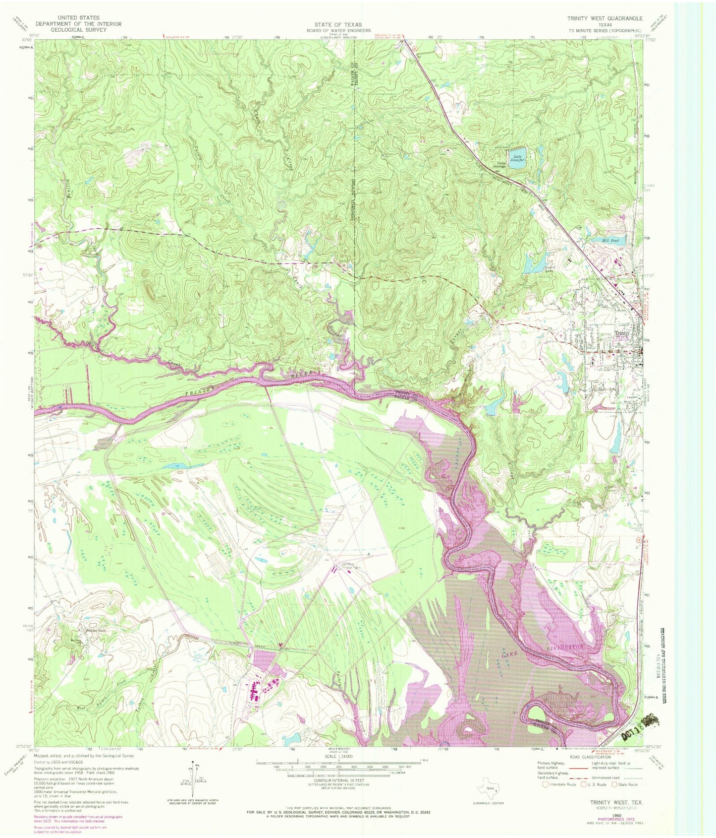
Classic USGS Trinity West Texas 7.5'x7.5' Topo Map
Couldn't load pickup availability
Historical USGS topographic quad map of Trinity West in the state of Texas. Map scale may vary for some years, but is generally around 1:24,000. Print size is approximately 24" x 27"
This quadrangle is in the following counties: Trinity, Walker.
The map contains contour lines, roads, rivers, towns, and lakes. Printed on high-quality waterproof paper with UV fade-resistant inks, and shipped rolled.
Contains the following named places: Baggy Branch, Camp Ontologo, Chalk Creek, Dillard Creek, East Texas Medical Center, Eastham and Thomason Ranches Lake, Eastham and Thomason Ranches Lake Dam, Ellis Reservoir, Ellis Reservoir Dam, Haraldson Lake, Haraldson Lake Dam, Kittrell, Lake Jennifer, Lake Jennifer Dam, Mill Pond, Mill Pond Dam, Mount Olive Church, Ranald McDonald House, Sentell Lake, Sentell Lake Dam, Smither Farm, Smither Prison Farm, Stewart Memorial Park, Texas Department of Criminal Justice O B Ellis Unit, Texas Department of Criminal Justice W J Jim Estelle Unit, Thornton Lake, Thornton Lake Dam, Trinity, Trinity City Hall, Trinity Police Department, Trinity Post Office, Turkey Creek, Turkey Creek Ditch, Turner Creek, Village Creek, West Turkey Creek, Whites Creek


