MyTopo
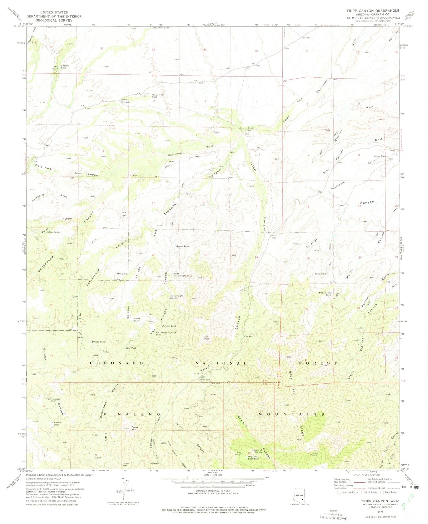
Classic USGS Tripp Canyon Arizona 7.5'x7.5' Topo Map
Couldn't load pickup availability
Historical USGS topographic quad map of Tripp Canyon in the state of Arizona. Map scale may vary for some years, but is generally around 1:24,000. Print size is approximately 24" x 27"
This quadrangle is in the following counties: Graham.
The map contains contour lines, roads, rivers, towns, and lakes. Printed on high-quality waterproof paper with UV fade-resistant inks, and shipped rolled.
Contains the following named places: Bellows Canyon, Brushy Tank, Cedar Mountain, Cedar Point Tank, Cottonwood Canyon, Deer Tank, Dry Lake Stock Tank, Eureka Canyon, Eureka Tank, Gibbs Tank, Grama Tank, Hackberry Draw, Holdout Canyon, Holdout Tank, Indian Spring, Iron Tank Well, Johns Canyon, Ladrone Tank, Little Cottonwood Canyon, Lower Two Troughs Tank, North Two Troughs Tank, Otto Tank, Pipeline Tank, Sawmill Canyon, Sawmill Spring, Sawmill Water Storage Tank, Section Twenty-eight Tank, Tripp Canyon, Two Troughs Canyon, Two Troughs Spring, Two Troughs Spring Tank, Underwood Canyon, Underwood Wash, Water Canyon, White Hills Tank, Wide Mouth Tank


