MyTopo
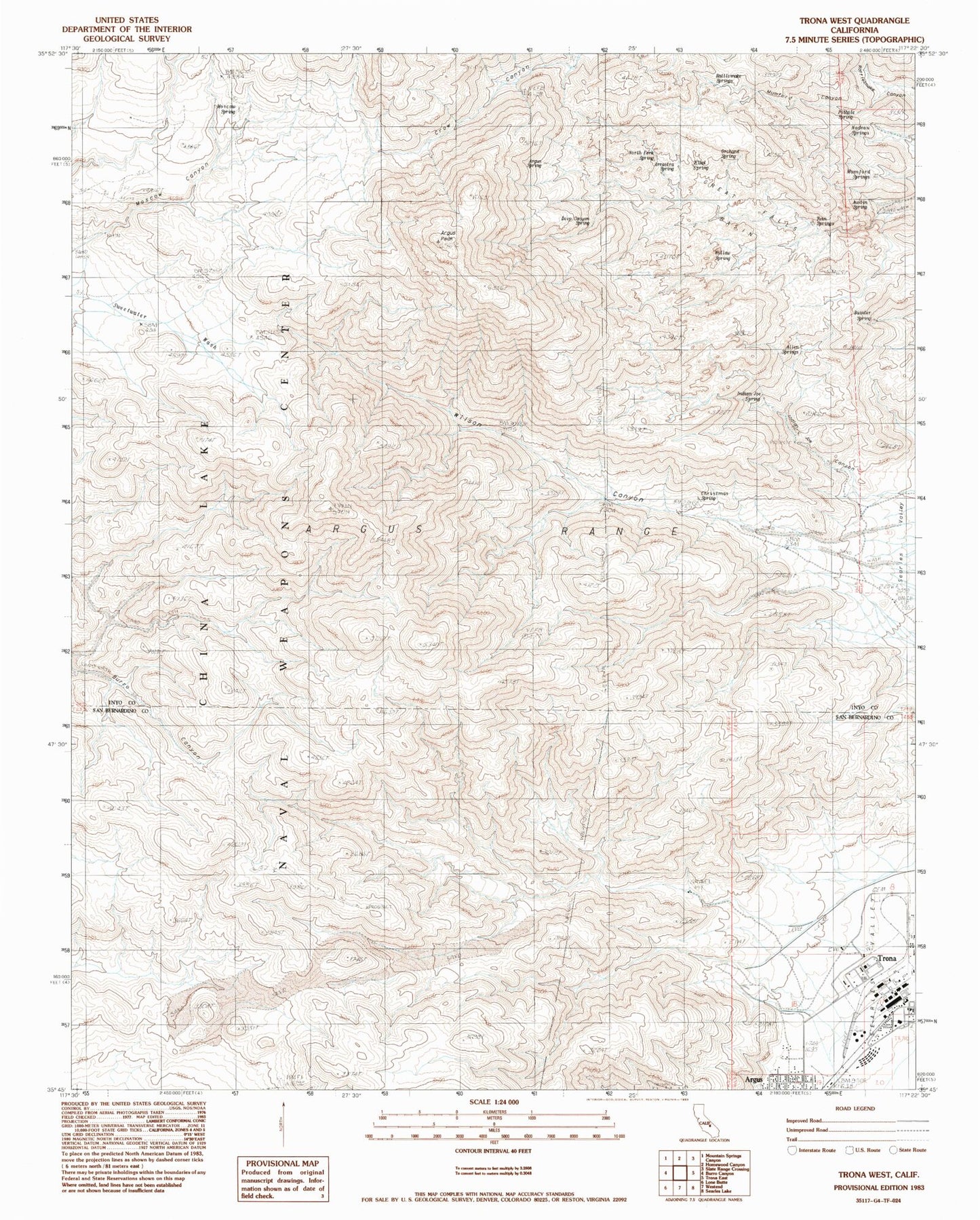
Classic USGS Trona West California 7.5'x7.5' Topo Map
Couldn't load pickup availability
Historical USGS topographic quad map of Trona West in the state of California. Map scale may vary for some years, but is generally around 1:24,000. Print size is approximately 24" x 27"
This quadrangle is in the following counties: Inyo, San Bernardino.
The map contains contour lines, roads, rivers, towns, and lakes. Printed on high-quality waterproof paper with UV fade-resistant inks, and shipped rolled.
Contains the following named places: Allen Spring, Argus Peak, Argus Spring, Arrastra Spring, Austin Spring, Bainter Spring, Christmas Spring, Deep Canyon Spring, Elliot Spring, Great Falls Basin, Indian Joe Canyon, Indian Joe Spring, Moscow Canyon, Moscow Spring, Mumford Canyon, Mumford Springs, Nadeau Springs, North Fork Spring, Orchard Spring, Pothole Spring, Rattlesnake Spring, San Bernardino County Sheriff's Department - Trona Substation, Searles Valley, Searles Valley Cemetery, Searles Valley Census Designated Place, Searles Valley Minerals Fire Department, Trona Branch San Bernardino County Library, Trona Post Office, Twin Springs, Willow Spring