MyTopo
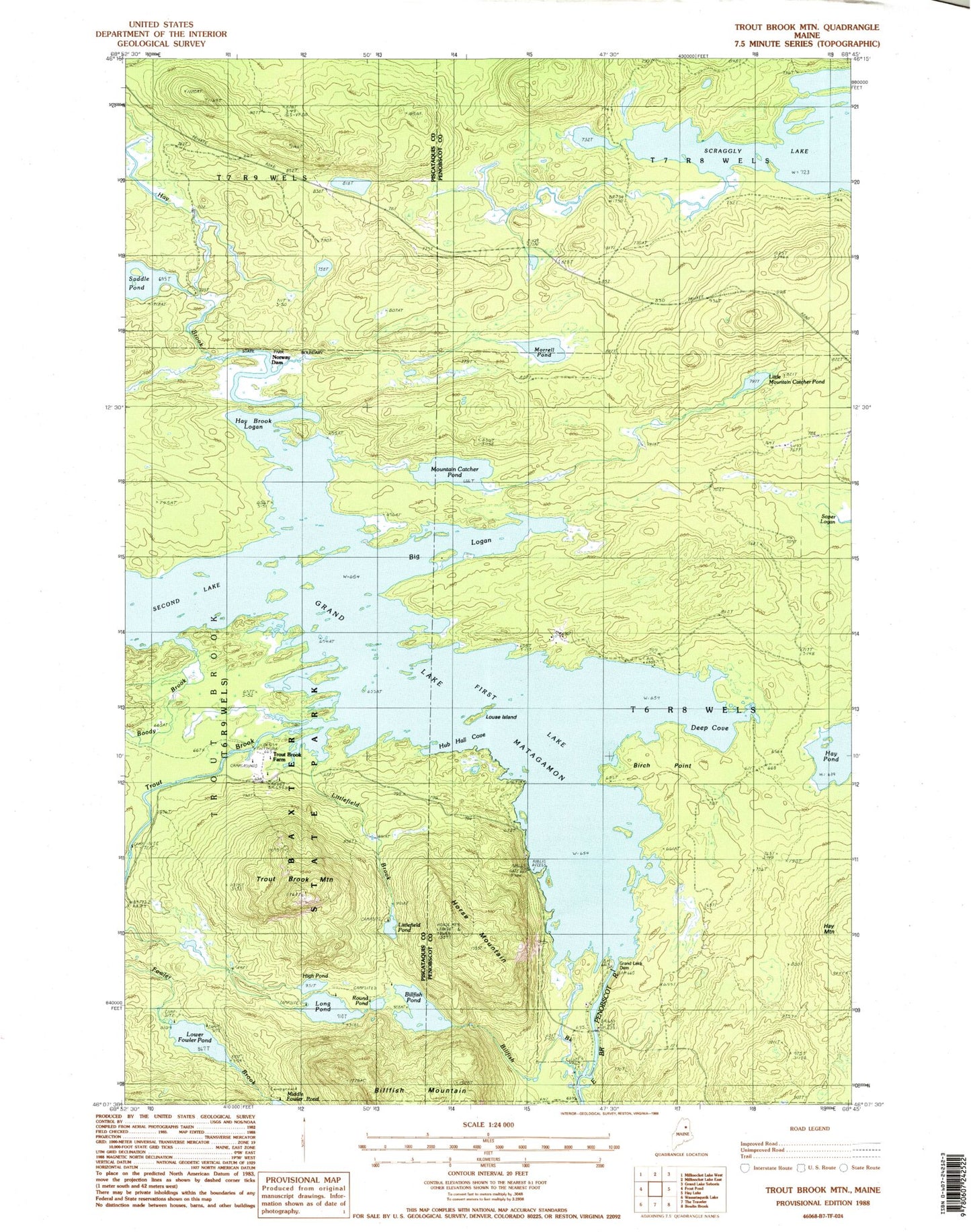
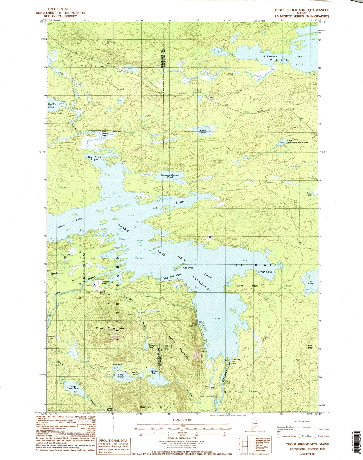
Classic USGS Trout Brook Mountain Maine 7.5'x7.5' Topo Map
Couldn't load pickup availability
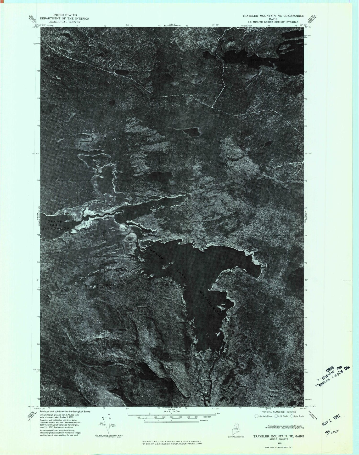
Historical USGS topographic quad map of Trout Brook Mountain in the state of Maine. Typical map scale is 1:24,000, but may vary for certain years, if available. Print size: 24" x 27"
This quadrangle is in the following counties: Penobscot, Piscataquis.
The map contains contour lines, roads, rivers, towns, and lakes. Printed on high-quality waterproof paper with UV fade-resistant inks, and shipped rolled.
Contains the following named places: Big Logan, Billfish Brook, Billfish Pond, Birch Point, Boody Brook, Deep Cove, First Lake, Grand Lake Dam, Grand Lake Matagamon, Hay Brook, Hay Brook Logan, Hay Pond, High Pond, Horse Mountain, Hub Hall Cove, Little Mountain Catcher Pond, Littlefield Brook, Littlefield Pond, Long Pond, Louse Island, Lower Fowler Pond, Morrell Pond, Mountain Catcher Pond, Norway Dam, Round Pond, Saddle Pond, Scraggly Lake, Second Lake, Trout Brook, Trout Brook Farm, Trout Brook Mountain, Matagamon Wilderness Campground, T6 R8 WELS