MyTopo
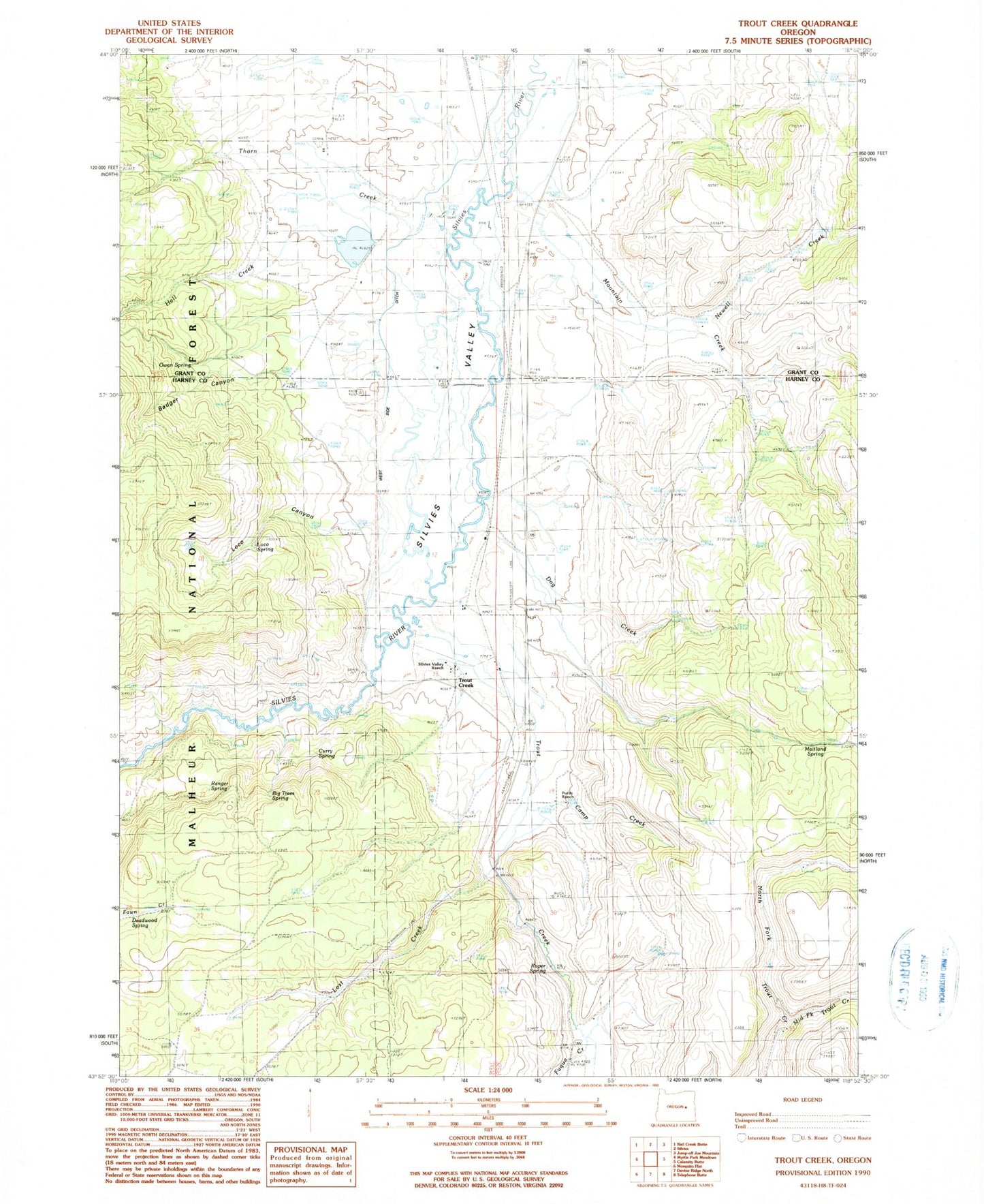
Classic USGS Trout Creek Oregon 7.5'x7.5' Topo Map
Couldn't load pickup availability
Historical USGS topographic quad map of Trout Creek in the state of Oregon. Map scale may vary for some years, but is generally around 1:24,000. Print size is approximately 24" x 27"
This quadrangle is in the following counties: Grant, Harney.
The map contains contour lines, roads, rivers, towns, and lakes. Printed on high-quality waterproof paper with UV fade-resistant inks, and shipped rolled.
Contains the following named places: Badger Canyon, Big Trees Spring, Buffalo Dam, Buffalo Lake, Camp Creek, Craddock Ranch, Curry Spring, Deadwood Spring, Dog Creek, Fuqua Creek, Hall Creek, Loco Canyon, Loco Spring, Log Pipe Spring, Lost Creek, Maitland Spring, Middle Fork Trout Creek, Mountain Creek, Newell Creek, Owen Spring, Purdy Ranch, Ranger Spring, Roper Spring, Scheckels Dam, Scheckels Reservoir, Sherwood Lake, Silvies Valley, Silvies Valley Ranch, Smith Spring, Thorn Creek, Trout Creek, West Side Ditch