MyTopo
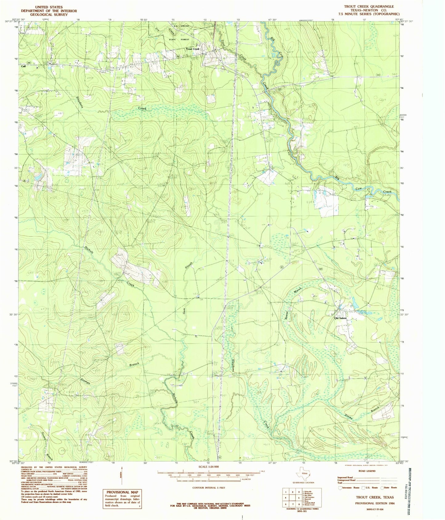
Classic USGS Trout Creek Texas 7.5'x7.5' Topo Map
Regular price
$16.95
Regular price
Sale price
$16.95
Unit price
per
Couldn't load pickup availability
Historical USGS topographic quad map of Trout Creek in the state of Texas. Map scale may vary for some years, but is generally around 1:24,000. Print size is approximately 24" x 27"
This quadrangle is in the following counties: Newton.
The map contains contour lines, roads, rivers, towns, and lakes. Printed on high-quality waterproof paper with UV fade-resistant inks, and shipped rolled.
Contains the following named places: Call, Call Division, Camp Bill Stark, Camp Otanya, Gum Slough, Newton County Emergency Services District 2, Newton County Emergency Services District 2 Substation, Newton Oil Field, Reese Marsh, Salem, Stamps Branch, The Cutoff, Trout Creek, West Log House, ZIP Code: 75933