MyTopo
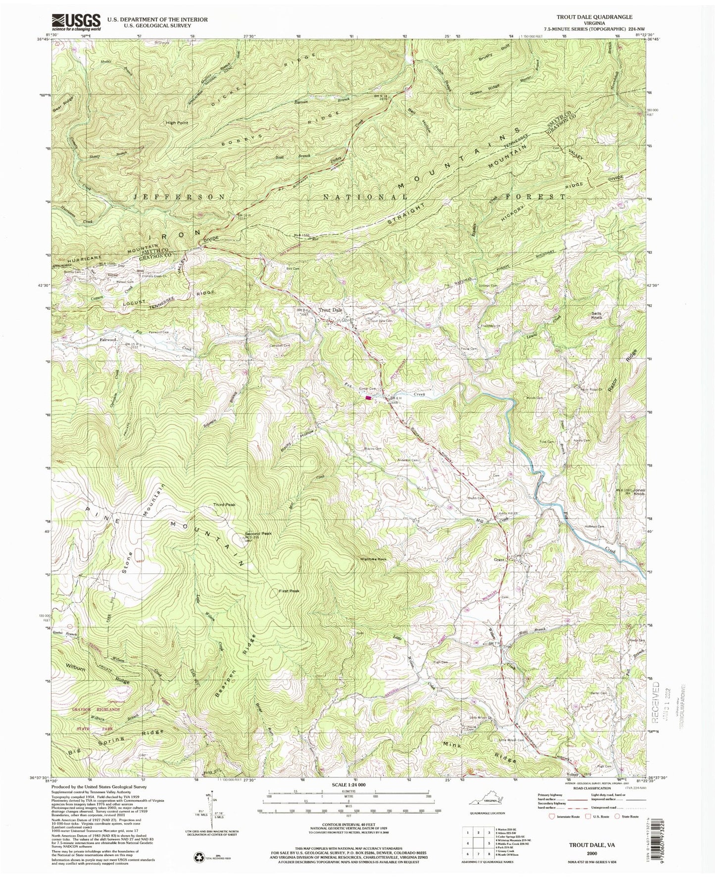
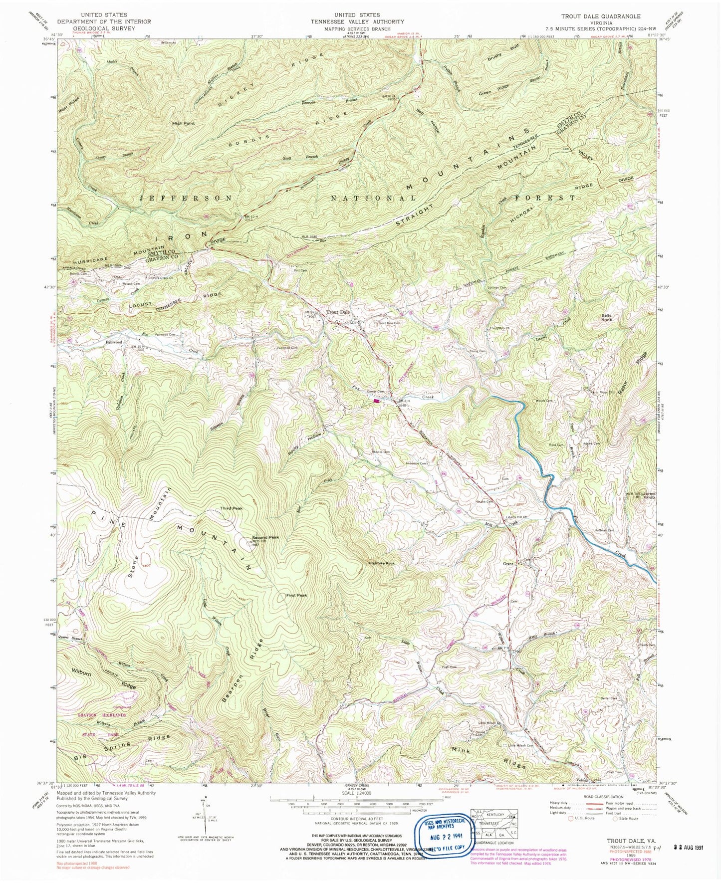
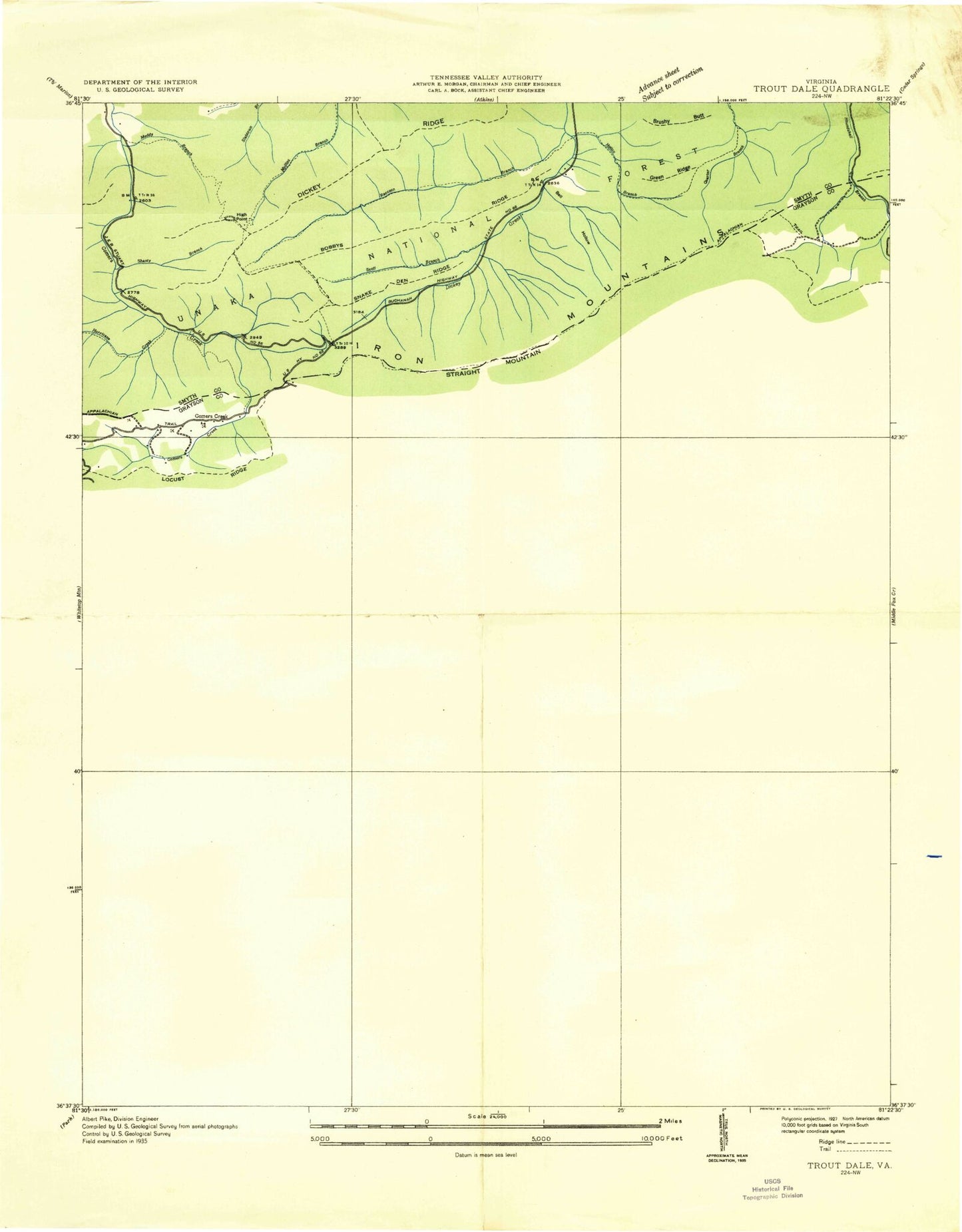
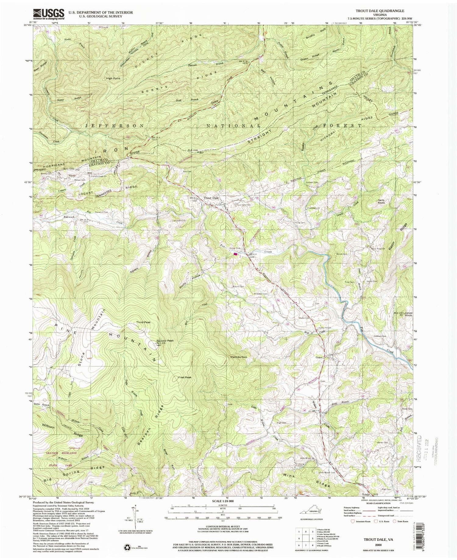
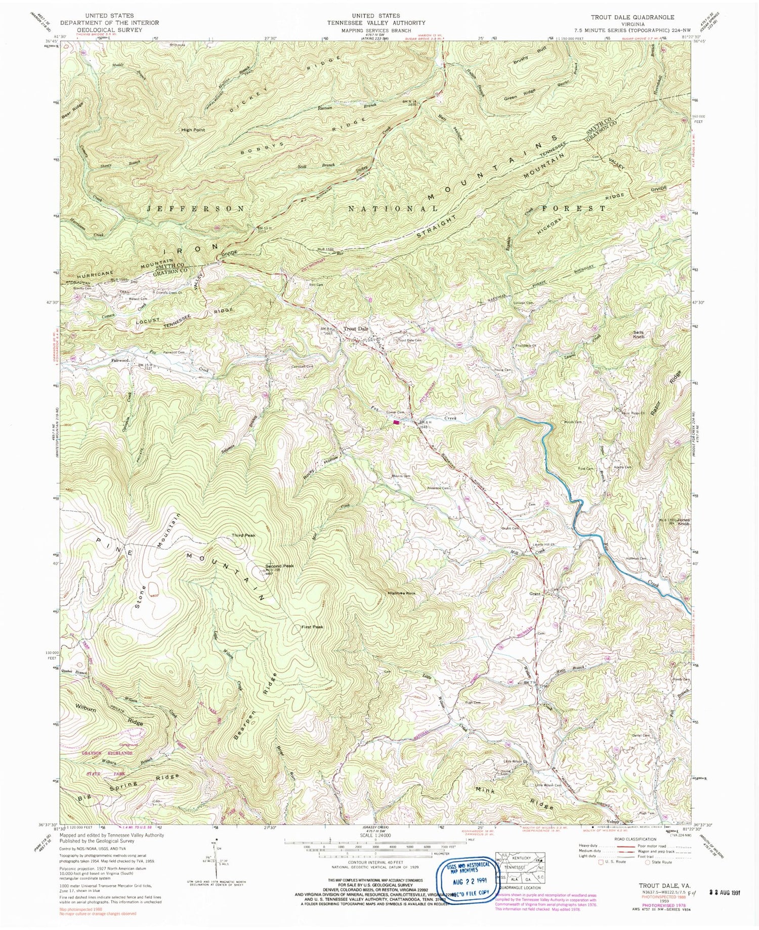
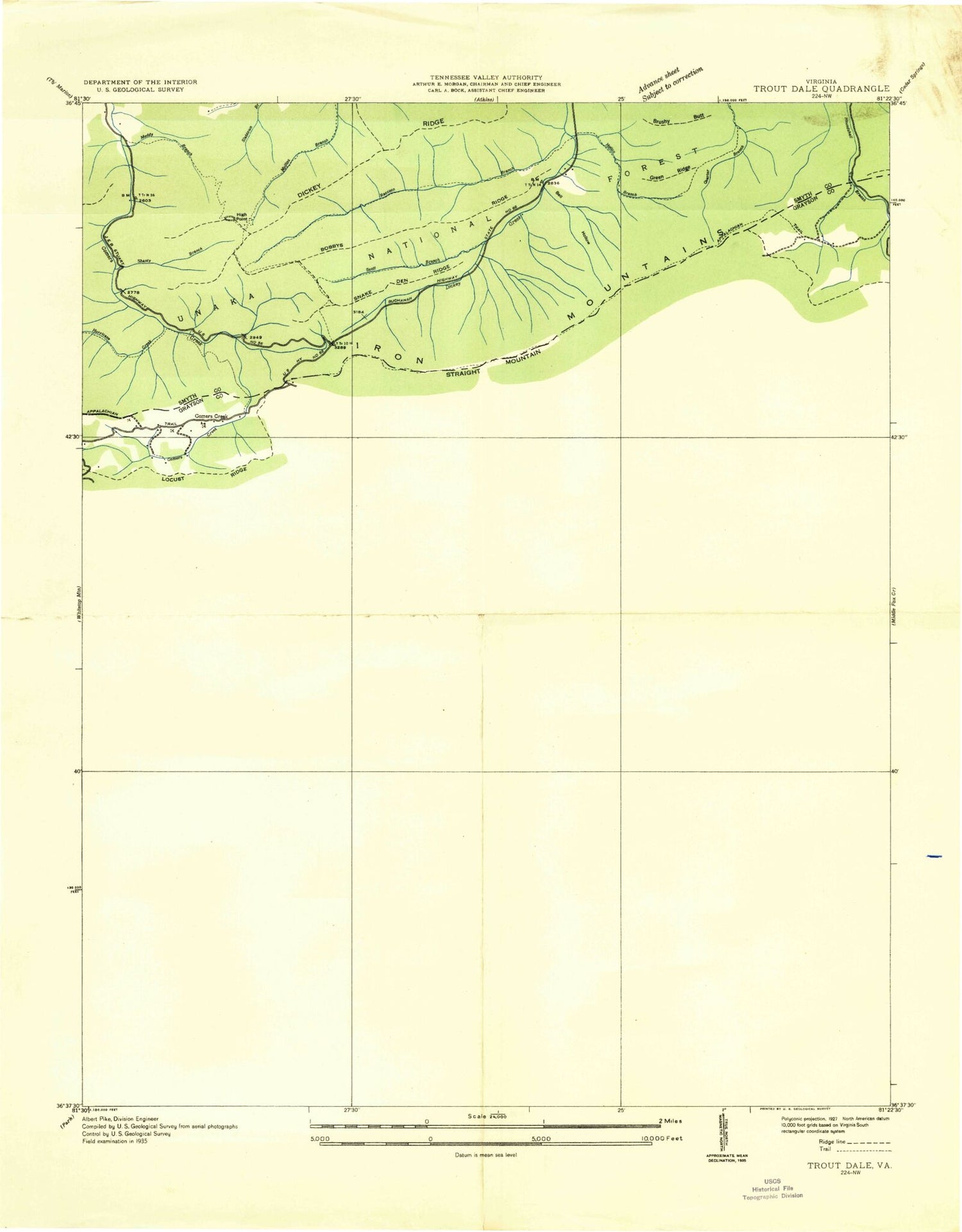
Classic USGS Trout Dale Virginia 7.5'x7.5' Topo Map
Couldn't load pickup availability
Historical USGS topographic quad map of Trout Dale in the state of Virginia. Typical map scale is 1:24,000, but may vary for certain years, if available. Print size: 24" x 27"
This quadrangle is in the following counties: Grayson, Smyth.
The map contains contour lines, roads, rivers, towns, and lakes. Printed on high-quality waterproof paper with UV fade-resistant inks, and shipped rolled.
Contains the following named places: Adams Cemetery, Anderson Cemetery, Bearpen Ridge, Bell Hollow, Big Spring Ridge, Big Wilson Creek, Blevins Cemetery, Bobbys Ridge, Bolt Cemetery, Brooks Cemetery, Campbell Cemetery, Comer Cemetery, Comers Creek Church, Dainel Cemetery, Dickey Ridge, Fairwood Cemetery, Friendship Church, Green Ridge, Grubb Cemetery, Hickory Ridge, Hightree Rock, Hoffman Cemetery, Hurricane Creek, Hutton Branch, Jones Knob, Laurel Creek, Liberty Hill Church, Little Wilson Cemetery, Little Wilson Church, Little Wilson Creek, Little Wilson Creek, Mill Creek, Mink Ridge, Muddy Branch, Opossum Creek, Pugh Cemetery, Pugh Cemetery, Quebec Branch, Raccoon Branch, Razor Ridge Church, Reedy Cemetery, Ripshin Creek, Rocky Hollow, Ross Cemetery, Scott Branch, Second Peak, Young Cemetery, Young Cemetery, Solomon Branch, Sugar Branch, Sullivan Cemetery, Trout Dale Cemetery, Wallen Creek, Watson Cemetery, Weiss Branch, Wilburn Branch, Woods Cemetery, Bearpen Trail, Third Peak Trail, Scales Trail, Mount Rogers National Recreation Area, Fairwood Valley, First Peak Trail, Mullins Branch Trail, Hurricane Creek Trail, Hurricane Campground, Comers Creek Trail, Shanty Branch, Bobby's Trail, Switchback Trail, Hickory Ridge Trail, Raccoon Branch Shelter, Raccoon Branch Campground, Laurel Creek Dam, Brushy Butt, Fairwood, First Peak, Grant, High Point, Sells Knob, Stone Mountain, Straight Mountain, Third Peak, Volney, Dickey Gap, Snake Den Ridge, Fox Creek Church (historical), Laurel Creek School (historical), Liberty Hill Cemetery, Little Wilson School (historical), Razor Ridge School (historical), Upper Sharp Knob, Trout Dale, Wilson Creek District, Little Wilson Creek Wilderness, Troutdale Community Volunteer Fire Department, Town of Troutdale, Raccoon Branch Wilderness, Troutdale Post Office, Adams Cemetery, Anderson Cemetery, Bearpen Ridge, Bell Hollow, Big Spring Ridge, Big Wilson Creek, Blevins Cemetery, Bobbys Ridge, Bolt Cemetery, Brooks Cemetery, Campbell Cemetery, Comer Cemetery, Comers Creek Church, Dainel Cemetery, Dickey Ridge, Fairwood Cemetery, Friendship Church, Green Ridge, Grubb Cemetery, Hickory Ridge, Hightree Rock, Hoffman Cemetery, Hurricane Creek, Hutton Branch, Jones Knob, Laurel Creek, Liberty Hill Church, Little Wilson Cemetery, Little Wilson Church, Little Wilson Creek, Little Wilson Creek, Mill Creek, Mink Ridge, Muddy Branch, Opossum Creek, Pugh Cemetery, Pugh Cemetery, Quebec Branch, Raccoon Branch, Razor Ridge Church, Reedy Cemetery, Ripshin Creek, Rocky Hollow, Ross Cemetery, Scott Branch, Second Peak, Young Cemetery, Young Cemetery, Solomon Branch, Sugar Branch, Sullivan Cemetery, Trout Dale Cemetery, Wallen Creek, Watson Cemetery, Weiss Branch, Wilburn Branch, Woods Cemetery, Bearpen Trail, Third Peak Trail, Scales Trail, Mount Rogers National Recreation Area, Fairwood Valley, First Peak Trail, Mullins Branch Trail, Hurricane Creek Trail, Hurricane Campground, Comers Creek Trail, Shanty Branch, Bobby's Trail, Switchback Trail, Hickory Ridge Trail, Raccoon Branch Shelter, Raccoon Branch Campground, Laurel Creek Dam, Brushy Butt, Fairwood, First Peak, Grant, High Point, Sells Knob, Stone Mountain, Straight Mountain, Third Peak, Volney, Dickey Gap, Snake Den Ridge, Fox Creek Church (historical), Laurel Creek School (historical), Liberty Hill Cemetery, Little Wilson School (historical), Razor Ridge School (historical), Upper Sharp Knob, Trout Dale, Wilson Creek District, Little Wilson Creek Wilderness, Troutdale Community Volunteer Fire Department, Town of Troutdale, Raccoon Branch Wilderness, Troutdale Post Office
