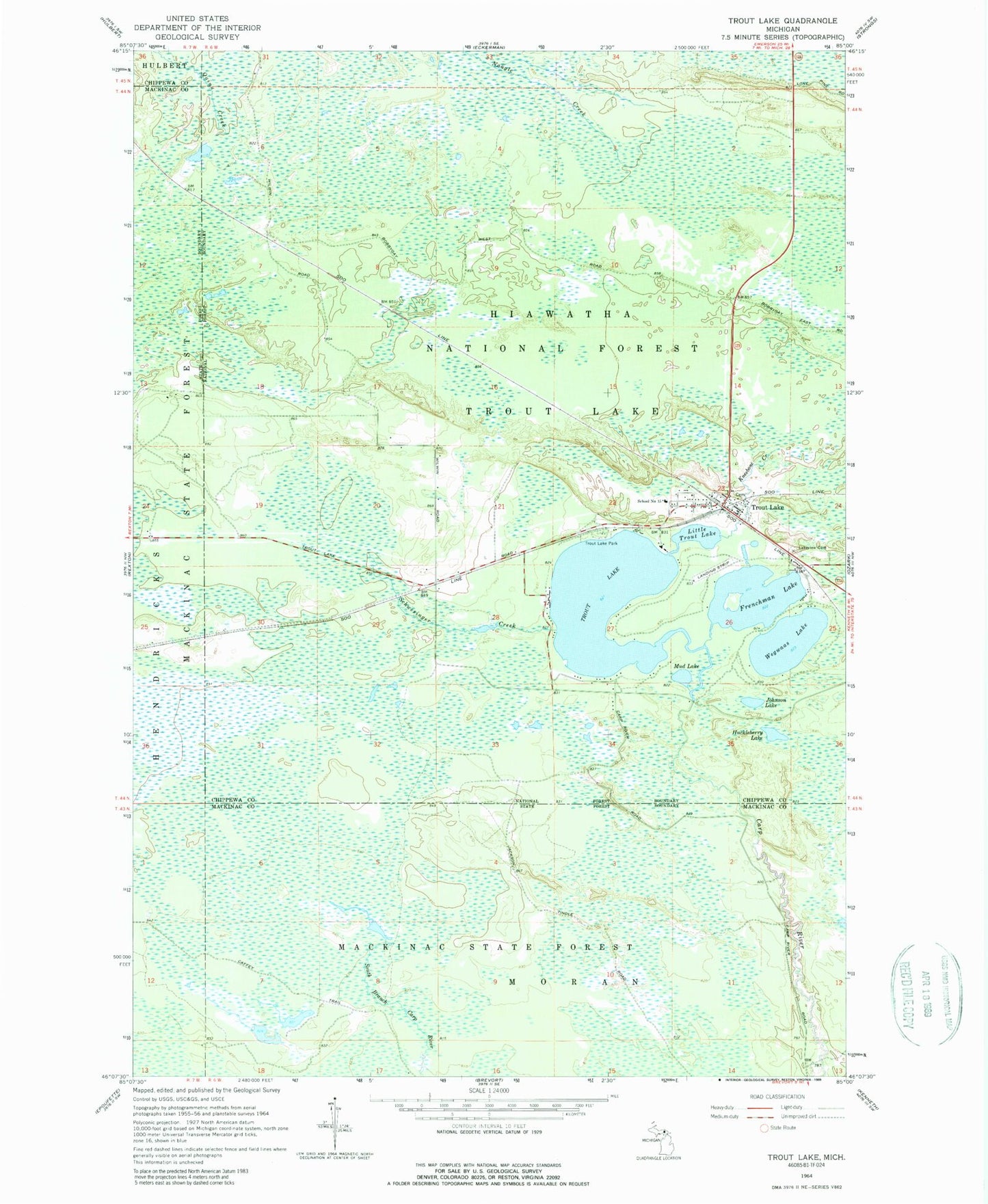
MyTopo
Classic USGS Trout Lake Michigan 7.5'x7.5' Topo Map
Couldn't load pickup availability
Historical USGS topographic quad map of Trout Lake in the state of Michigan. Map scale may vary for some years, but is generally around 1:24,000. Print size is approximately 24" x 27"
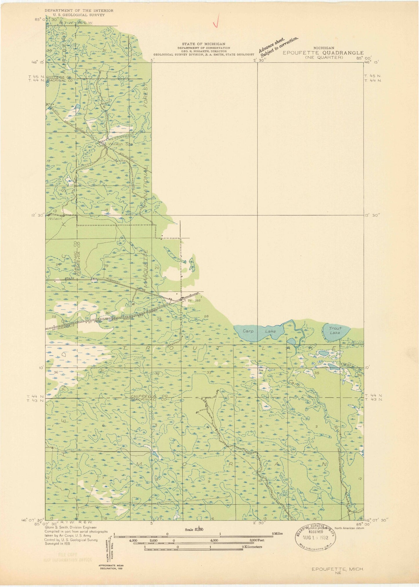
This quadrangle is in the following counties: Chippewa, Mackinac.
The map contains contour lines, roads, rivers, towns, and lakes. Printed on high-quality waterproof paper with UV fade-resistant inks, and shipped rolled.
Contains the following named places: Beaver Pond, Frenchman Lake, Furlong Memorial Park, Huckleberry Lake, Johnson Lake, Kneebone Creek, Lakeview Cemetery, Little Trout Lake, Mud Lake, School Number 15, Schwesinger Creek, Trout Lake, Trout Lake Bicentennial Hiking Trail, Trout Lake Park, Trout Lake Post Office, Trout Lake Station, Trout Lake Township Volunteer Fire Department, Wegwaas Lake, Willwin Pond, Wilwin Post Office, Wilwin Station, ZIP Code: 49793