MyTopo
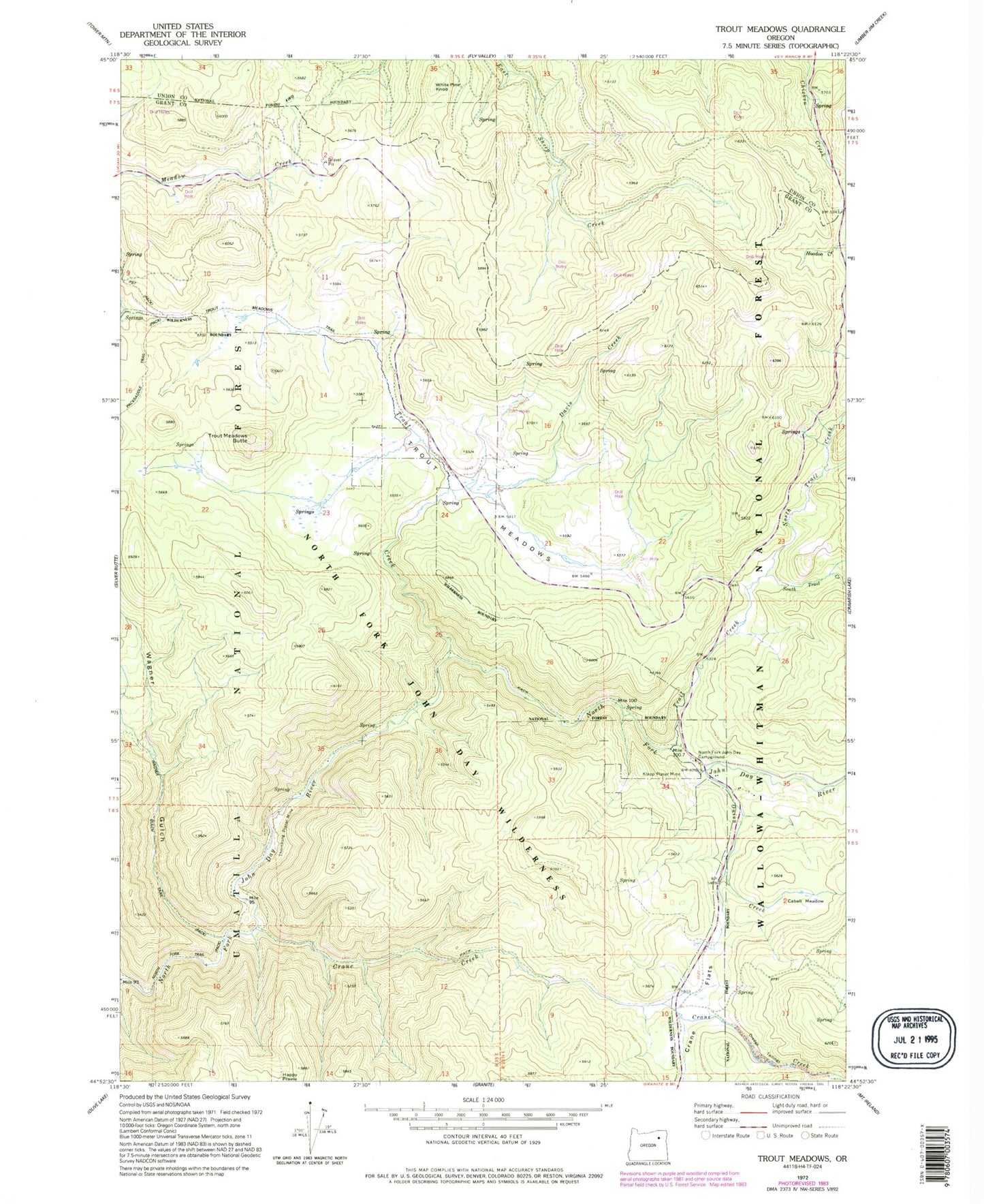
Classic USGS Trout Meadows Oregon 7.5'x7.5' Topo Map
Regular price
$16.95
Regular price
Sale price
$16.95
Unit price
per
Couldn't load pickup availability
Historical USGS topographic quad map of Trout Meadows in the state of Oregon. Typical map scale is 1:24,000, but may vary for certain years, if available. Print size: 24" x 27"
This quadrangle is in the following counties: Grant, Union.
The map contains contour lines, roads, rivers, towns, and lakes. Printed on high-quality waterproof paper with UV fade-resistant inks, and shipped rolled.
Contains the following named places: Cabell Meadow, Crane Creek, Crane Flats, Davis Creek, Klopp Placer Mine, North Fork John Day Recreation Site, North Trail Creek, Onion Creek, South Trail Creek, Thornburg Placer Mine, Trail Creek, Trout Creek, Trout Meadows, Trout Meadows Butte, Wagner Gulch, White Pine Knob