MyTopo
Classic USGS Troy Mississippi 7.5'x7.5' Topo Map
Couldn't load pickup availability
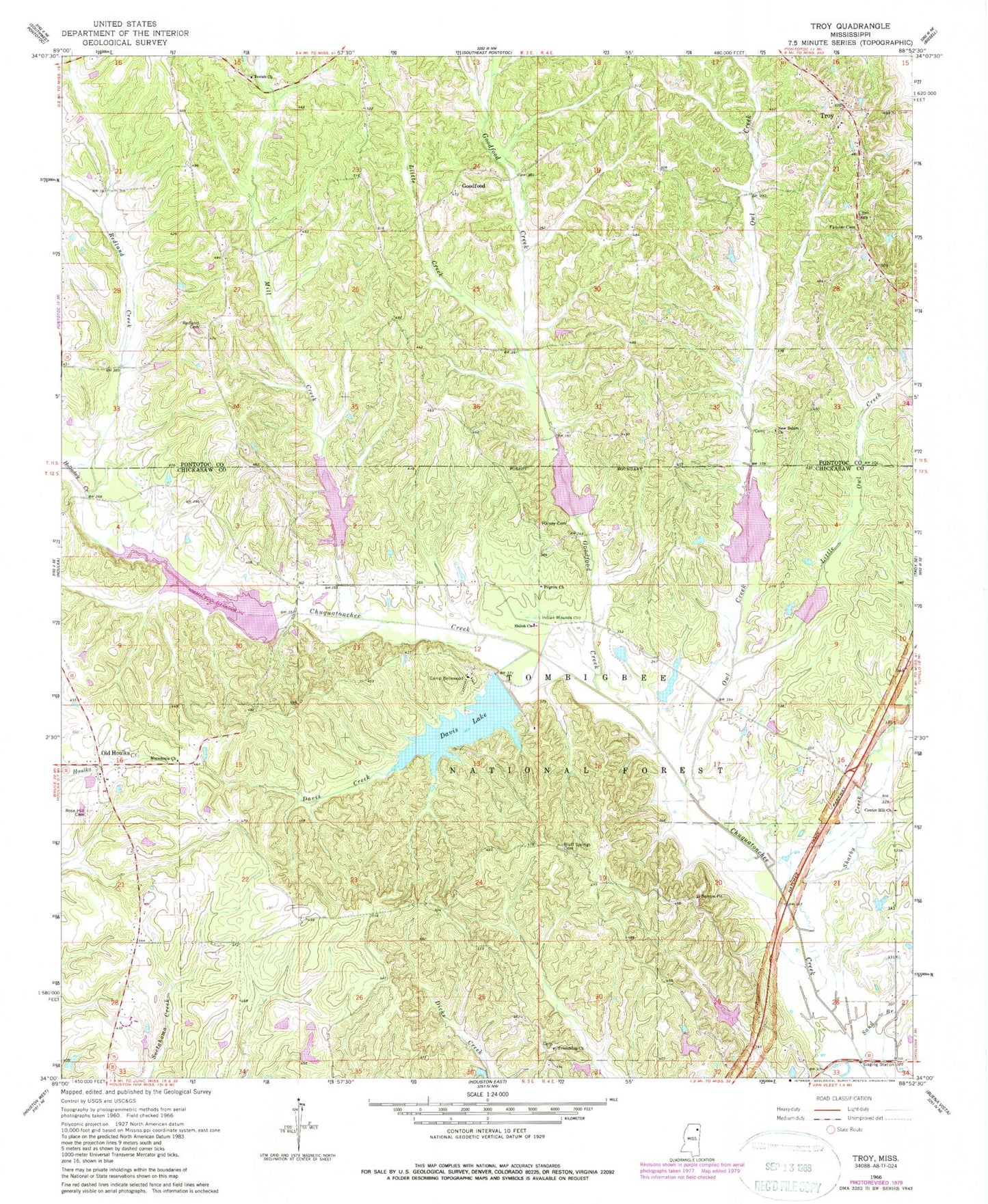
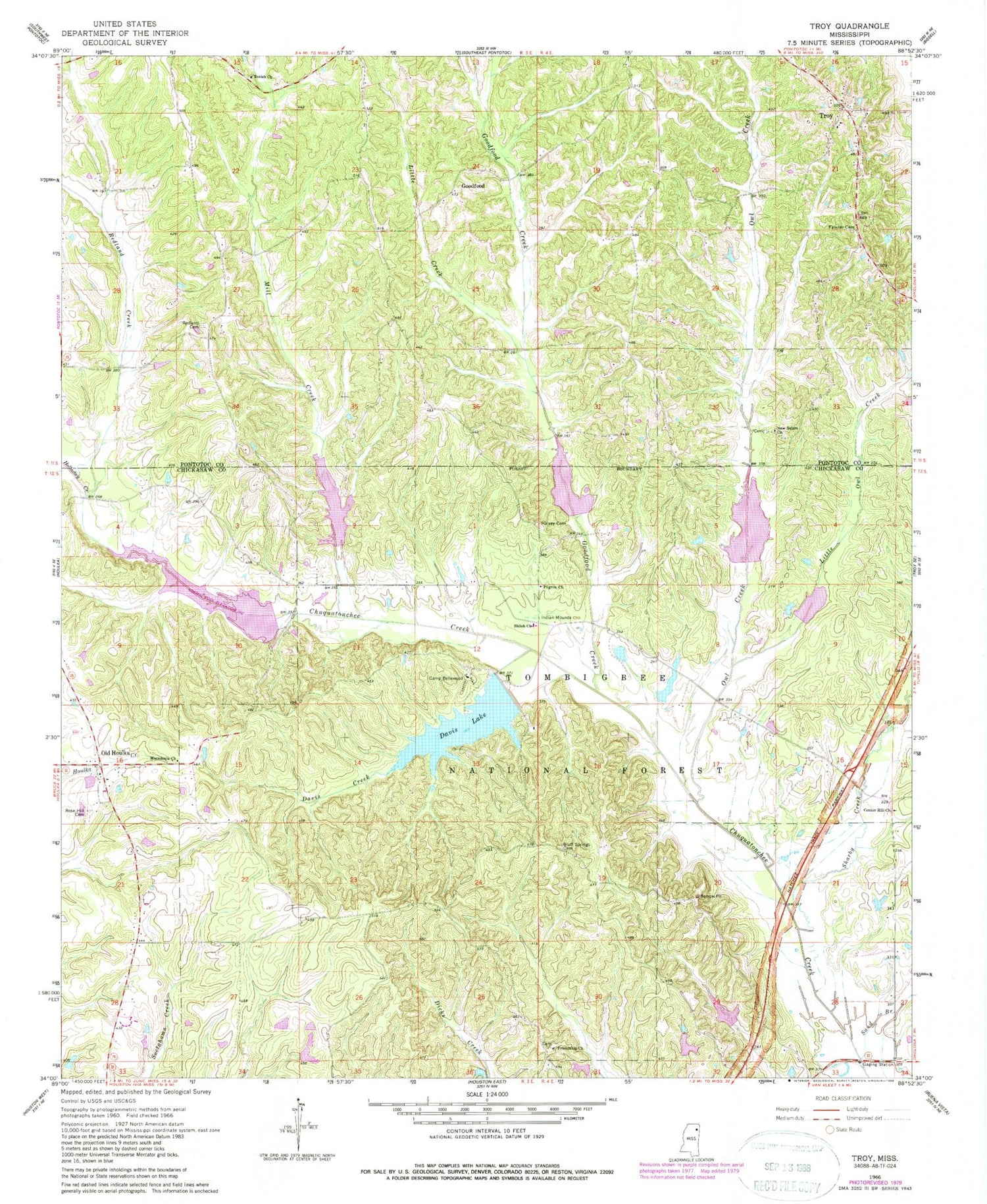
Historical USGS topographic quad map of Troy in the state of Mississippi. Map scale may vary for some years, but is generally around 1:24,000. Print size is approximately 24" x 27"
This quadrangle is in the following counties: Chickasaw, Pontotoc.
The map contains contour lines, roads, rivers, towns, and lakes. Printed on high-quality waterproof paper with UV fade-resistant inks, and shipped rolled.
Contains the following named places: 4 A-2020 Dam, 4 A-2020 Lake, Bluff Springs Cemetery, Camp Bellewood, Center Hill Baptist Church, Chickasaw Game Management Area, Chuckafalyia, Chuquatonchee Creek Structure 1 Dam, Chuquatonchee Creek Structure 10 Dam, Chuquatonchee Creek Structure 2 Dam, Chuquatonchee Creek Structure 3 Dam, Chuquatonchee Creek Structure 4 Dam, Chuquatonchee Creek Structure 4a Dam, Chuquatonchee Creek Structure 9 Dam, Coleville, Davis Creek, Davis Lake, Davis Lake Campground, Davis Lake Dam, Falkner Cemetery, Friendship Church, Friendship School, Goodford, Goodford Creek, Halsey Cemetery, Hickory Flat, Little Creek, Little Owl Creek, Macedonia Church, Mill Creek, Monroe Missionary Station, Natchez Trace National Scenic Trail, New Salem, New Salem Church, New Salem School, Oak Grove School, Old Houlka, Owl Creek, Pilgrim Church, Primitive Baptist Church of Bethel, Red Land, Redland Cemetery, Redland Creek, Ridgeway School, Rose Hill Cemetery, Sand Branch, Sharby Creek, Shiloh Baptist Church, Shiloh School, Tockshish Mission, Toxish Church, Troy, Troy Baptist Church, Troy Woodland Volunteer Fire Department


