MyTopo
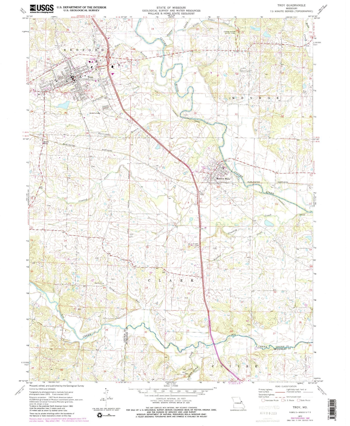
Classic USGS Troy Missouri 7.5'x7.5' Topo Map
Couldn't load pickup availability
Historical USGS topographic quad map of Troy in the state of Missouri. Map scale may vary for some years, but is generally around 1:24,000. Print size is approximately 24" x 27"
This quadrangle is in the following counties: Lincoln, St. Charles.
The map contains contour lines, roads, rivers, towns, and lakes. Printed on high-quality waterproof paper with UV fade-resistant inks, and shipped rolled.
Contains the following named places: Birkhead School, Bray Cemetery, Buchanan College, Buchanan Creek, Butcher Creek, Carter Cemetery, City of Moscow Mills, City of Troy, Compton Cemetery, Crab Apple School, Crooked Creek, Duff School, Early Childhood Center at Claude Brown, Edward Lanier Cemetery, Frieden Cemetery, Gooch Lake, Gooch Lake Dam, Greensfield Airport, Grothe School, Hubbard Cemetery, Hubbard School, Indian Camp Creek, K & N Field Airport, Lincoln County Fire Protection District 1 Station 1, Lincoln County Fire Protection District 1 Station 2, Lincoln County Sheriff's Office, Little Sugar Creek, Main Street Elementary School, Marie Cook Dam, Marie Cook Lake, Mercy Hospital Lincoln, Miller Cemetery, Moore Lake, Moore Lake Dam, Moscow Mills, Moscow Mills Post Office, Moscow School, Ninth Grade Center, Olive Branch Baptist Church, Olive Branch School, Rock Spring School, Ross Cemetery, Sacred Heart Parish, Sand Run, Sand Run Church, South Troy, Spring Branch Farm Lake, Spring Branch Farm Lake Dam, Sugar Creek, Sugar Grove School, Town Branch, Township of Clark, Trojan Lake, Trojan Lake Dam, Troy, Troy Buchanan High School, Troy City Cemetery, Troy Middle School, Troy Police Department, Troy Post Office, Troy School, Wade Cemetery, Whitcomb Branch, William R. Cappel Elementary


