MyTopo
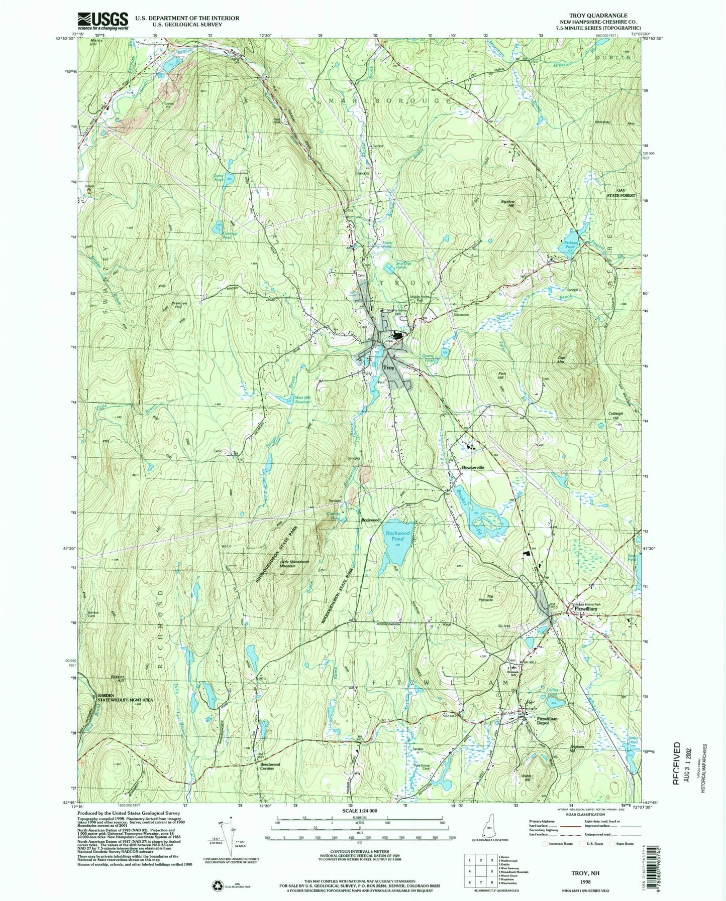
Classic USGS Troy New Hampshire 7.5'x7.5' Topo Map
Couldn't load pickup availability
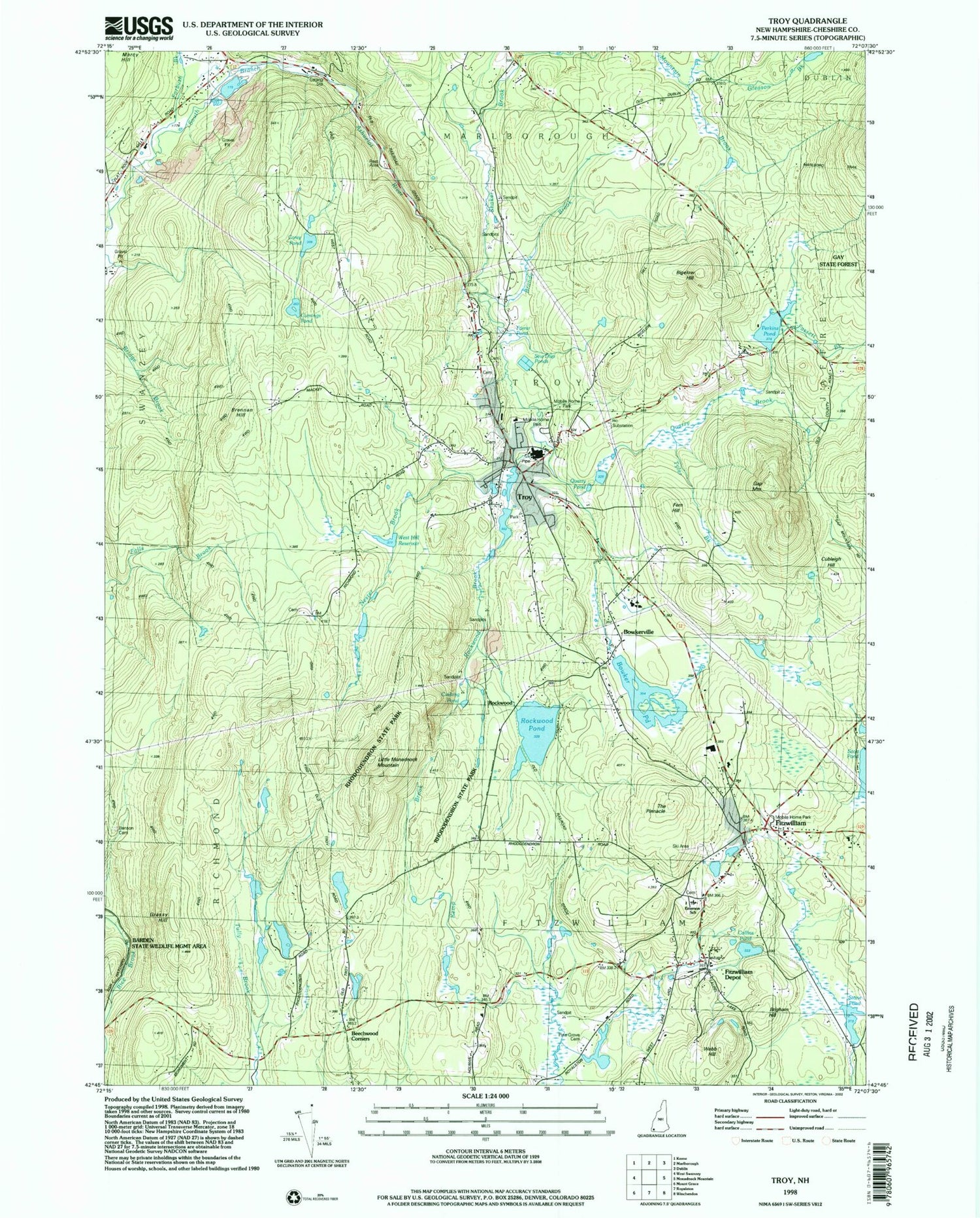
Historical USGS topographic quad map of Troy in the state of New Hampshire. Typical map scale is 1:24,000, but may vary for certain years, if available. Print size: 24" x 27"
This quadrangle is in the following counties: Cheshire.
The map contains contour lines, roads, rivers, towns, and lakes. Printed on high-quality waterproof paper with UV fade-resistant inks, and shipped rolled.
Contains the following named places: Beechwood Corners, Bigelow Hill, Bowker Pond, Bowkerville, Brandy Brook, Brennan Hill, Brigham Hill, Corey Pond, Cubleigh Hill, Farrar Pond, Fassett Brook, Fern Hill, Fitzwilliam, Fitzwilliam Depot, Forbush Brook, Gap Mountain, Gleason Brook, Grassy Hill, Little Monadnock Mountain, Marlboro Trail, Perkins Pond, Potters Pond, Quarry Brook, Rockwood Pond, Shaker Brook, Stone Pond, The Pinnacle, Troy, Webb, Webb Hill, Rockwood, Town of Fitzwilliam, Town of Troy, Bowkerville Dam, Bowker Pond, Rockwood Pond Dam, Larrys Pond Dam, Larrys Pond, Stone Pond Dam, Horseshoe Pond Dam, Horseshoe Pond, Fitzwilliam Post Office, Troy Post Office, First Baptist Church of Troy, Gay State Forest, Immaculate Conception Church, Rhododendron State Park, Richmond Wildlife Manangement Area, Troy Congregational Church, Troy Elementary School, Troy Town Hall, Bellows Falls Canal, Emerson Elementary School, Pine Grove Cemetery, Barden State Wildlife Management Area, Nester Brook, West Hill Reservoir, Cumings Pond, Meadowood County Area Fire Department, Troy Fire Department, Fitzwilliam Fire Department Substation, Fitzwilliam Fire Department Station 1, Troy Census Designated Place, Troy Ambulance, Troy Police Dept, Fitzwilliam Town Police Dept, Village Cemetery


