MyTopo
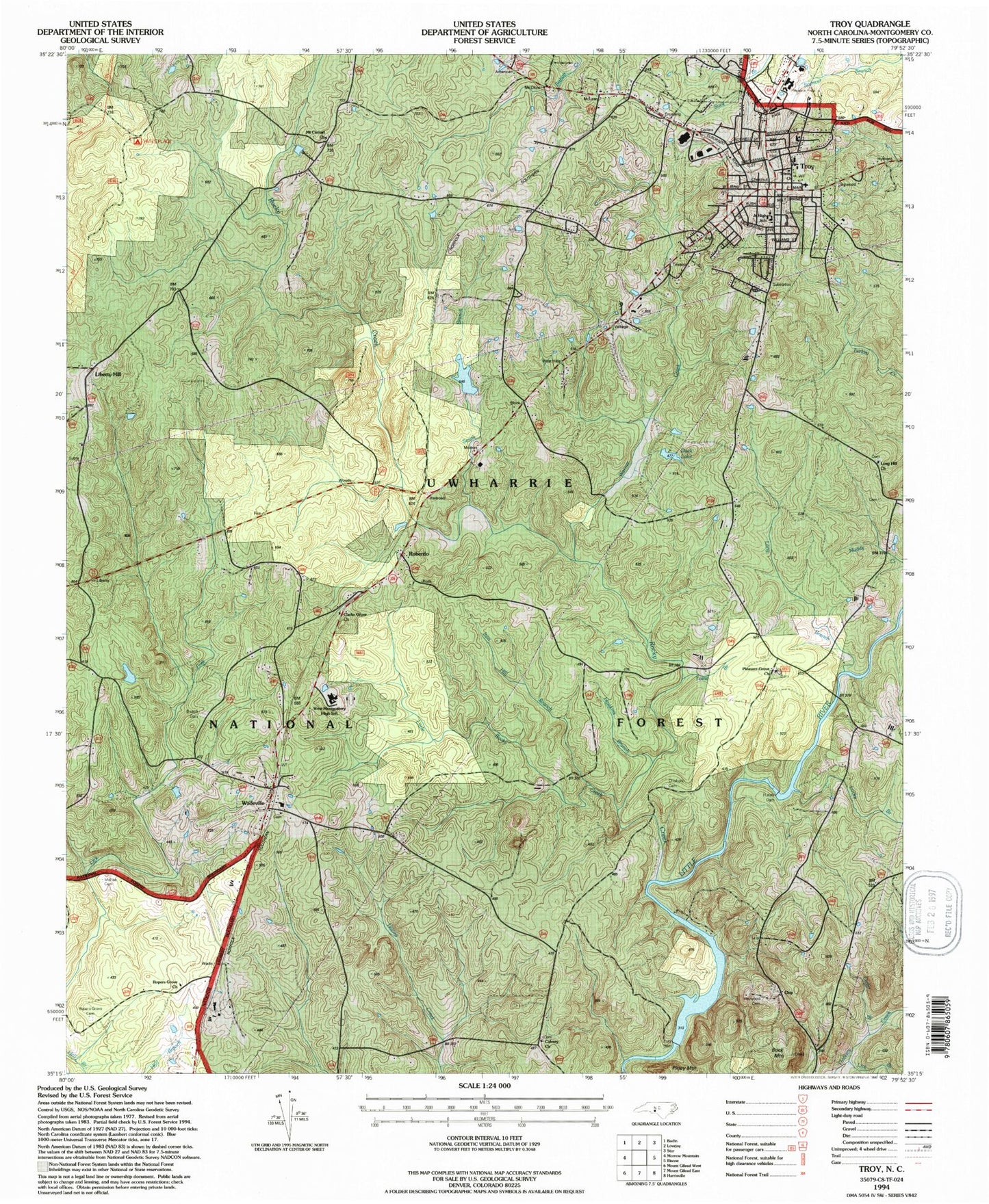
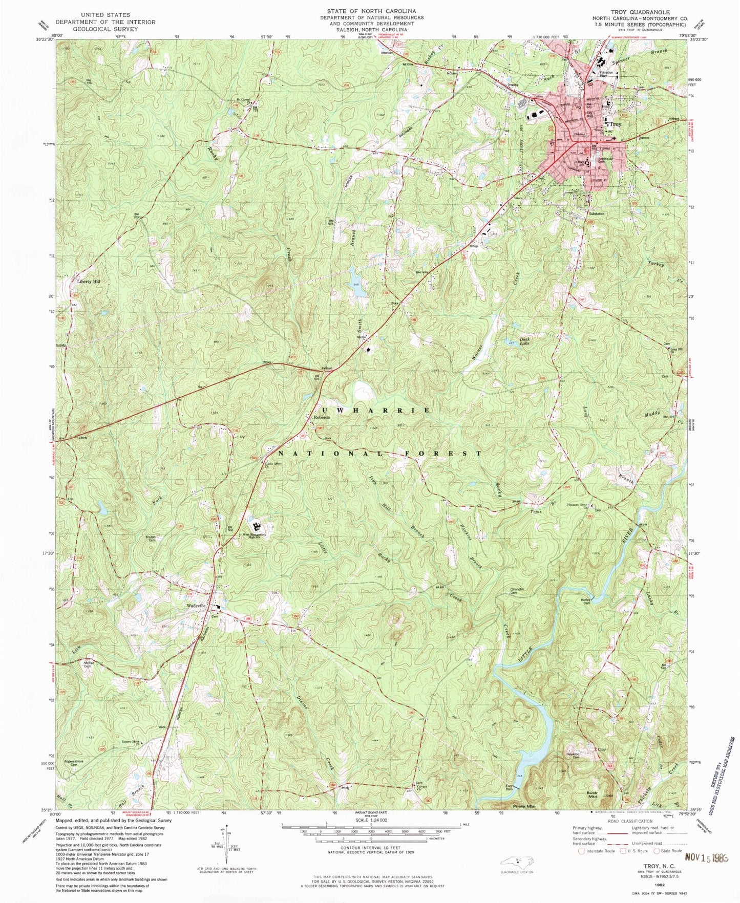
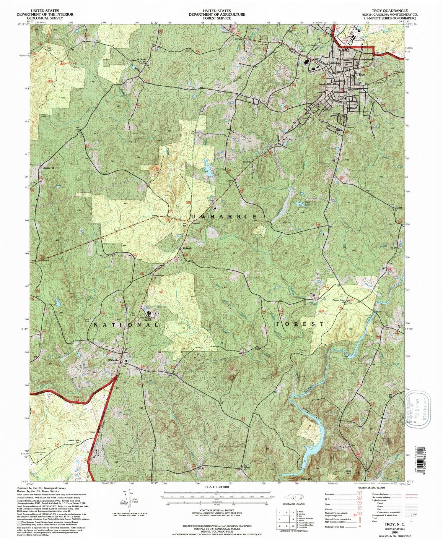
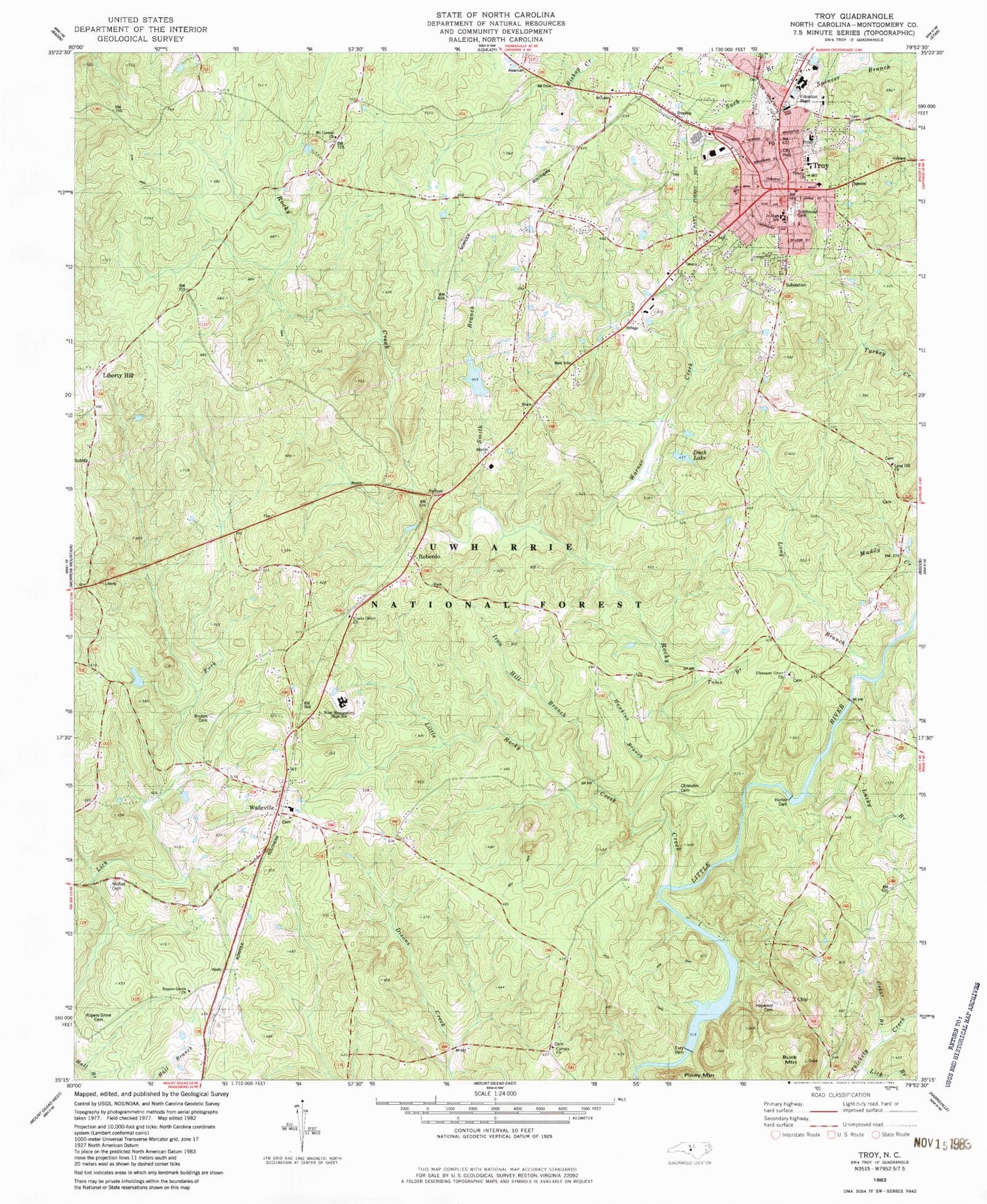
Classic USGS Troy North Carolina 7.5'x7.5' Topo Map
Couldn't load pickup availability
Historical USGS topographic quad map of Troy in the state of North Carolina. Typical map scale is 1:24,000, but may vary for certain years, if available. Print size: 24" x 27"
This quadrangle is in the following counties: Montgomery.
The map contains contour lines, roads, rivers, towns, and lakes. Printed on high-quality waterproof paper with UV fade-resistant inks, and shipped rolled.
Contains the following named places: Calvary Church, Cedar Branch, Clarks Grove Church, Duck Lake, Eury Dam, Hawkins Branch, Hill Branch, Little Rocky Creek, Mount Carmel Church, Ropers Grove Cemetery, Ropers Grove Church, Smith Branch, Birds Nest Airport (historical), Eure Lake, Bruton Millpond Dam, Bruton Mill Pond, Alexander Pond, Alexander Pond Dam, McRae Cemetery, Hurley Dam, Buck Mountain, Haywood Cemetery, West Montgomery High School, Iron Hill Branch, Pleasant Grove Church, Liberty Hill, Troy City Hall, Trinity Church, Southside Cemetery, Long Hill Church, Troy Elementary School, Troy Junior High School, North Carolina Forest Service Rangers Office, Firsthealth Montgomery Memorial Hospital, Troy Lookout Tower, Chisolm Cemetery, Bruton Cemetery, Yates Place Camp, Montgomery County, Lucky Branch, Rocky Creek, Chip, Roberdo, Wadeville, Liberty Hill Church, Lick Branch, Long Branch, Piney Mountain, Toms Branch, Troy, Wadeville Church, Warner Creek, Troy Post Office, Township of Troy, Town of Troy, Troy Fire Department, Wadeville Volunteer Fire Department, First Health of the Carolinas Emergency Medical Services Base 1, Montgomery County Rescue Squad, Montgomery County Sheriff's Office, Troy Police Department


