MyTopo
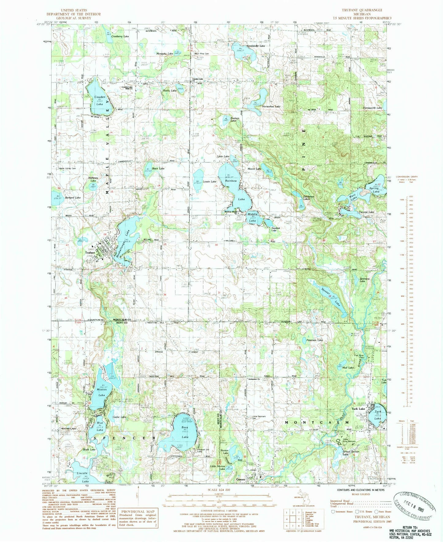
Classic USGS Trufant Michigan 7.5'x7.5' Topo Map
Couldn't load pickup availability
Historical USGS topographic quad map of Trufant in the state of Michigan. Map scale may vary for some years, but is generally around 1:24,000. Print size is approximately 24" x 27"
This quadrangle is in the following counties: Kent, Montcalm.
The map contains contour lines, roads, rivers, towns, and lakes. Printed on high-quality waterproof paper with UV fade-resistant inks, and shipped rolled.
Contains the following named places: Barnard Lake, Bass Lake, Black Lake, Blue Lake, Brethren Church, Brookside Golf Course, Camp Anna Behrens, Cedar Lake, Cowden Lake, Cowden Lake Bible Church, Cowden Lake Church, Cranberry Lake, Dutchman Lakes, Flat River Park, Gowen, Gowen Bible Church, Gowen Post Office, Gowen Station, Horseshoe Lake, Hunter Lake, James Church, Kendalville Lake, Little Denmark Cemetery, Little Denmark Evangelical Lutheran Church Historical Marker, Little Lake, Little Norton Lake, Lossin Lake, Mahaney Lake, Maple Valley Cemetery, Maple Valley Fire Department Station 2, Maston Lake, Middle Lake, Montcalm Township Fire Department, Montcalm Township Hall, Moore Lake, Mosquito Lake, Mud Lake, Muskellunge Lake, Norton Lake, Paulson Lake, Peterson Lake, Pine Flat School, Pleasant Hill Camp, Rainbow Lake, Rainbow Shores Church, Rocky Lake, Saint Thomas Lutheran Church, Sawdust Lake, School Section Lake, Settlement School, Simmons Lake, Spencer School, Spring Lake, Tacoma Lake, Township of Montcalm, Township of Pine, Township of Spencer, Trufant, Trufant Cemetery, Trufant Census Designated Place, Trufant Elementary School, Trufant Post Office, Trufant Station, Turk Lake, Turk Lake United Methodist Church, Victory Baptist Church, West Lake, West Pine Cemetery, ZIP Codes: 49322, 49347


