MyTopo
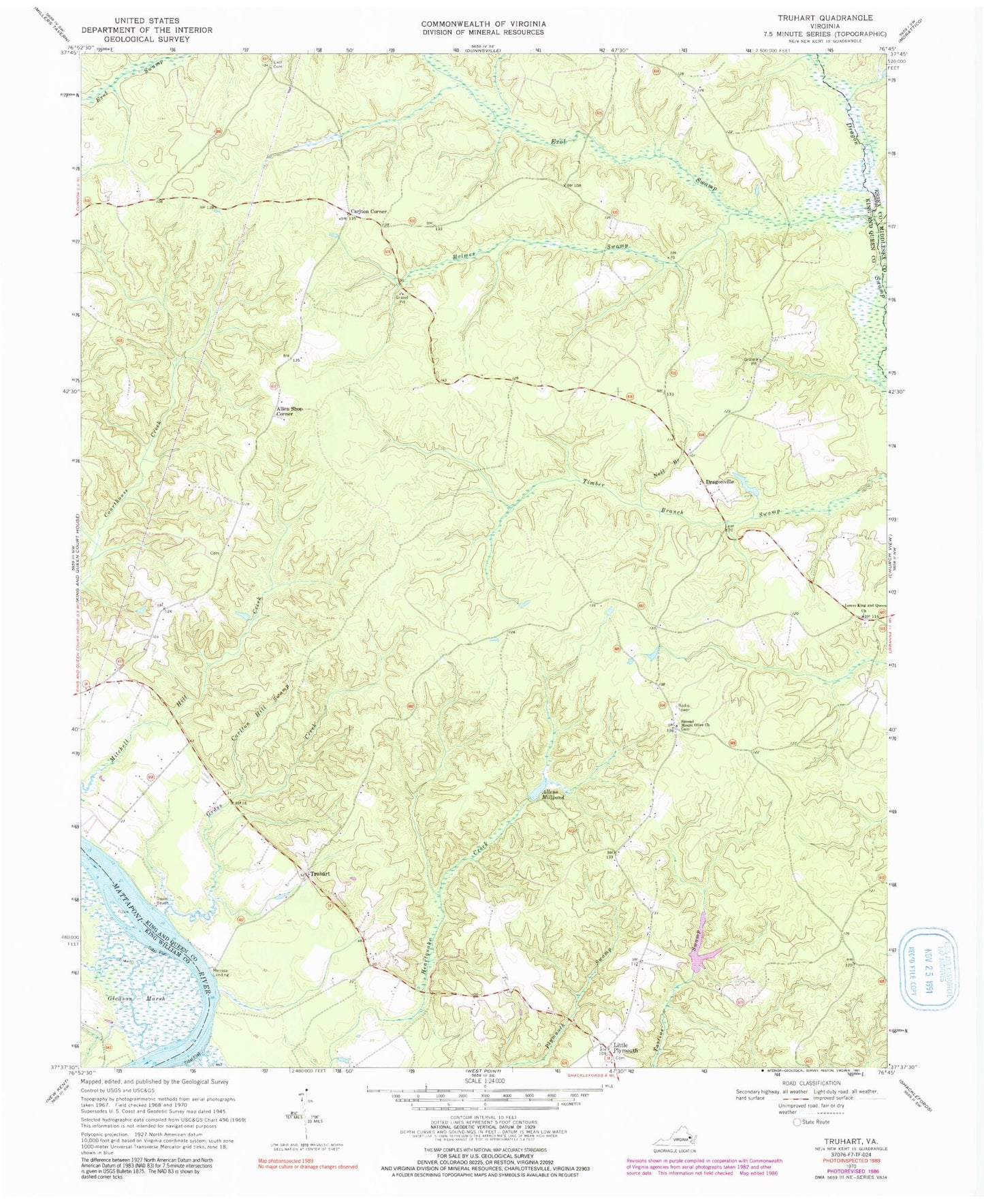
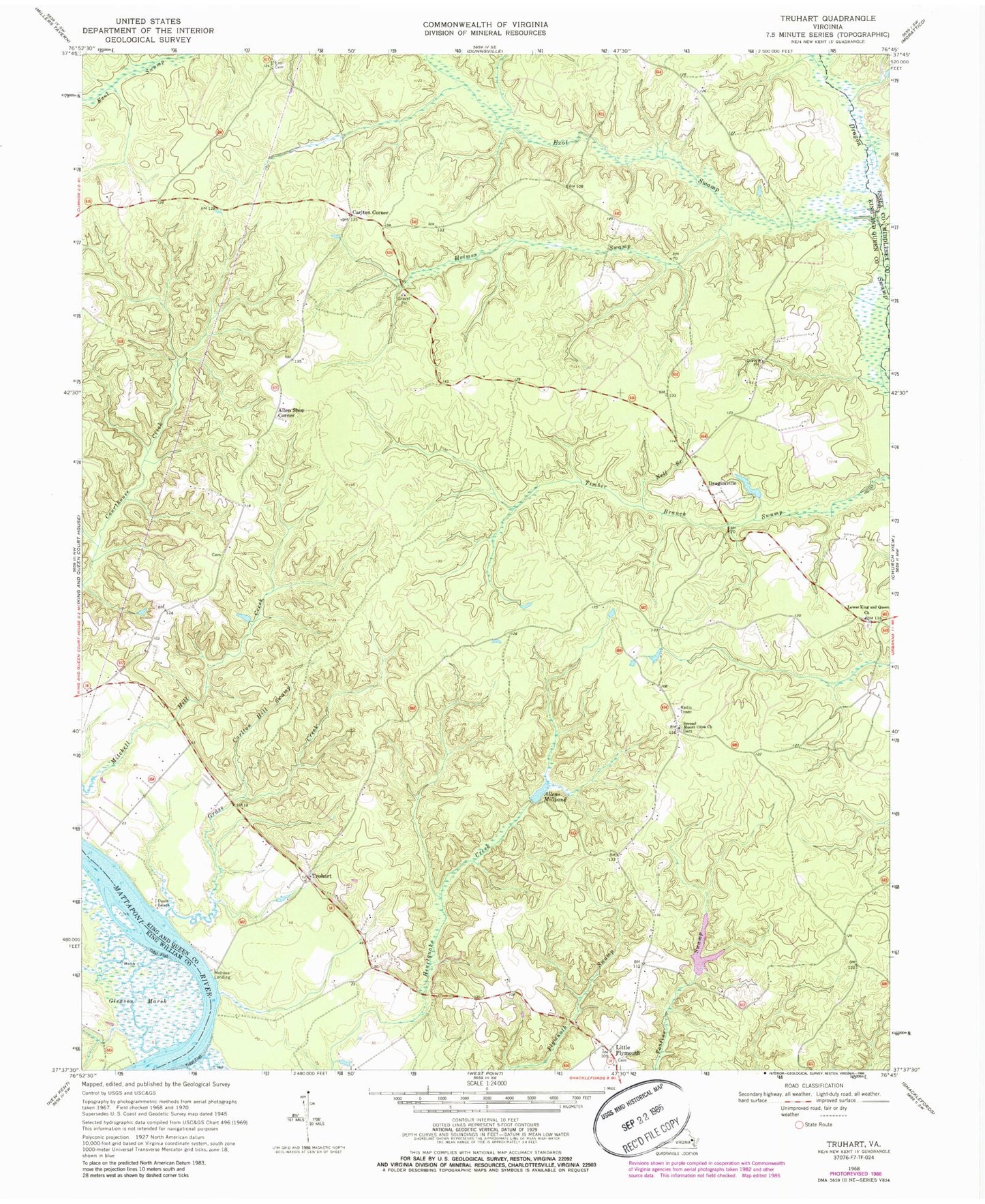
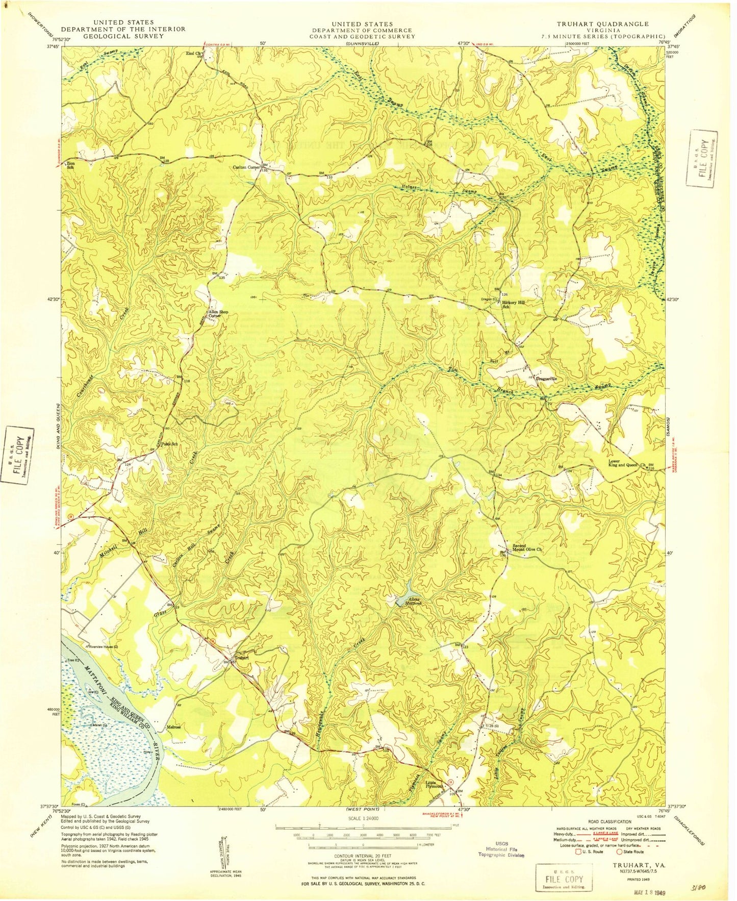
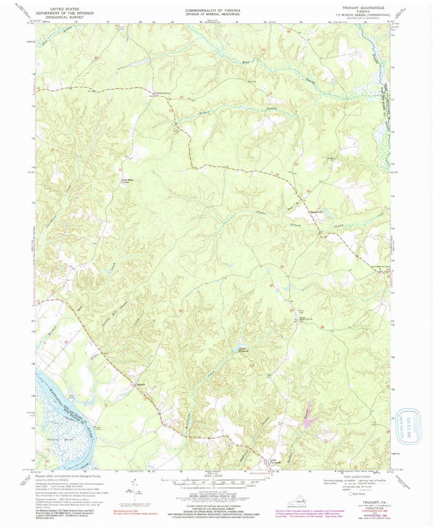
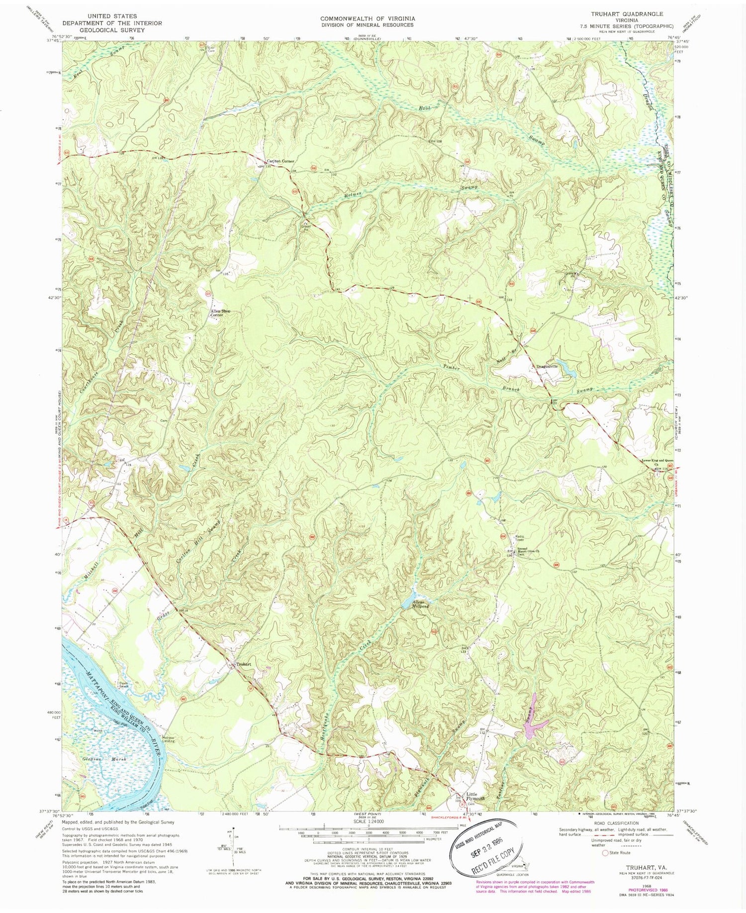
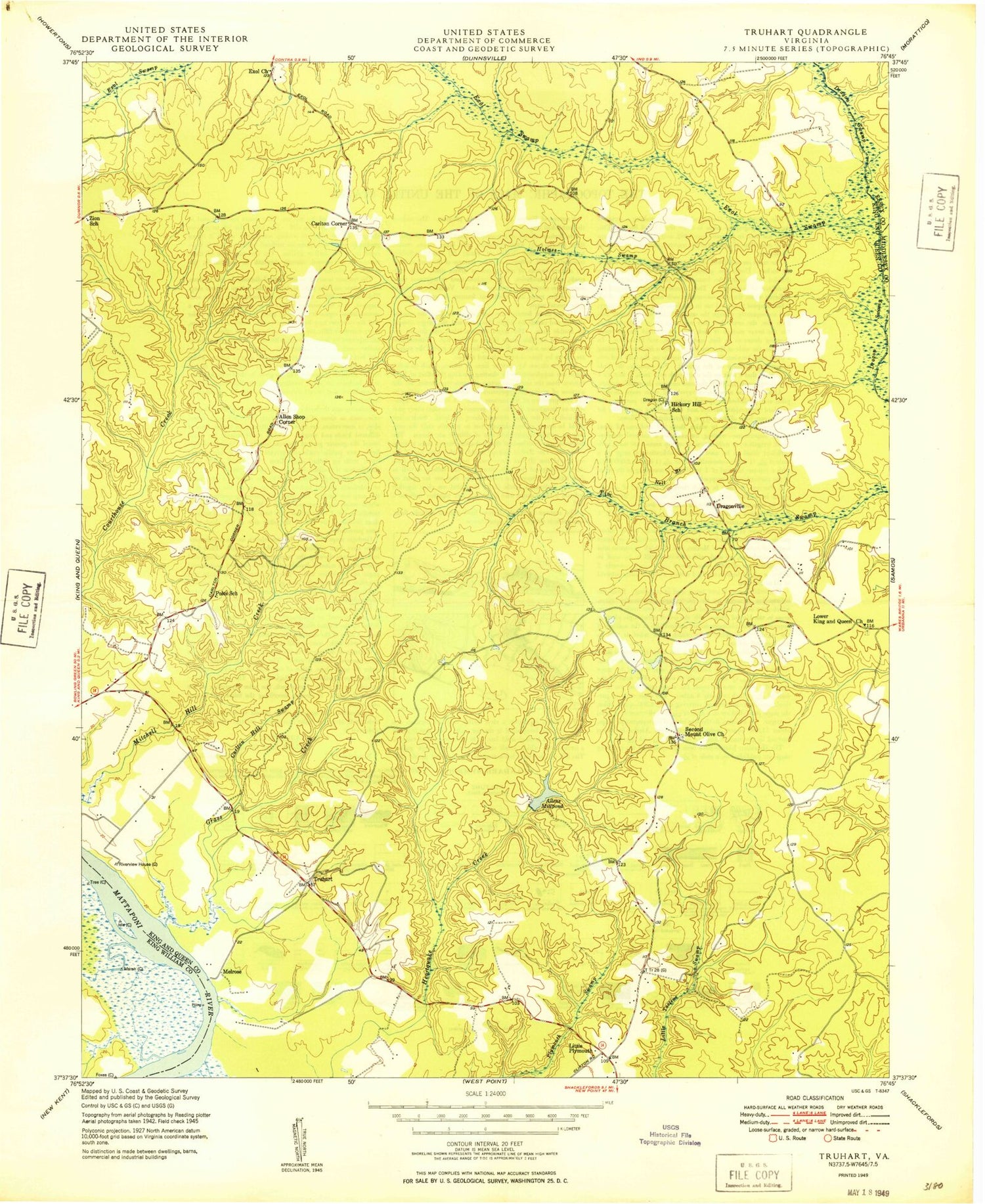
Classic USGS Truhart Virginia 7.5'x7.5' Topo Map
Couldn't load pickup availability
Historical USGS topographic quad map of Truhart in the state of Virginia. Typical map scale is 1:24,000, but may vary for certain years, if available. Print size: 24" x 27"
This quadrangle is in the following counties: Essex, King William, King and Queen, Middlesex.
The map contains contour lines, roads, rivers, towns, and lakes. Printed on high-quality waterproof paper with UV fade-resistant inks, and shipped rolled.
Contains the following named places: Carlton Hill Swamp, Davis Beach, Exol Cemetery, Exol Swamp, Grass Creek, Holmes Swamp, Little Plymouth, Lower King and Queen Church, Nell Branch, Second Mount Olive Church, Carlton Corner, Truhart, Allens Mill Dam, Townsend Dam, Normans Dam, Allen Shop Corner, Dragonville, Melrose Landing, Allens Millpond, Stevensville District, Central King and Queen Volunteer Fire Department, King and Queen Landfill, Carlton Hill Swamp, Davis Beach, Exol Cemetery, Exol Swamp, Grass Creek, Holmes Swamp, Little Plymouth, Lower King and Queen Church, Nell Branch, Second Mount Olive Church, Carlton Corner, Truhart, Allens Mill Dam, Townsend Dam, Normans Dam, Allen Shop Corner, Dragonville, Melrose Landing, Allens Millpond, Stevensville District, Central King and Queen Volunteer Fire Department, King and Queen Landfill
