MyTopo
Classic USGS TTT Ranch Wyoming 7.5'x7.5' Topo Map
Regular price
$16.95
Regular price
Sale price
$16.95
Unit price
per
Couldn't load pickup availability
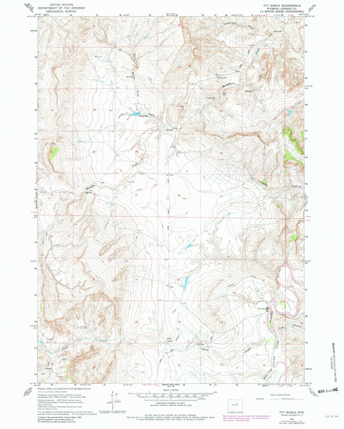
Historical USGS topographic quad map of TTT Ranch in the state of Wyoming. Map scale may vary for some years, but is generally around 1:24,000. Print size is approximately 24" x 27"
This quadrangle is in the following counties: Johnson.
The map contains contour lines, roads, rivers, towns, and lakes. Printed on high-quality waterproof paper with UV fade-resistant inks, and shipped rolled.
Contains the following named places: Ellis Dam, Ellis Reservoir, King Reservoir, Lucky Draw, North Sandy Draw, Posey Creek, Roy Rinker Homestead, South Posey Creek, Telephone Draw, Tisdale Ditch, Trail Canyon, TTT Ranch, Willow Creek