MyTopo
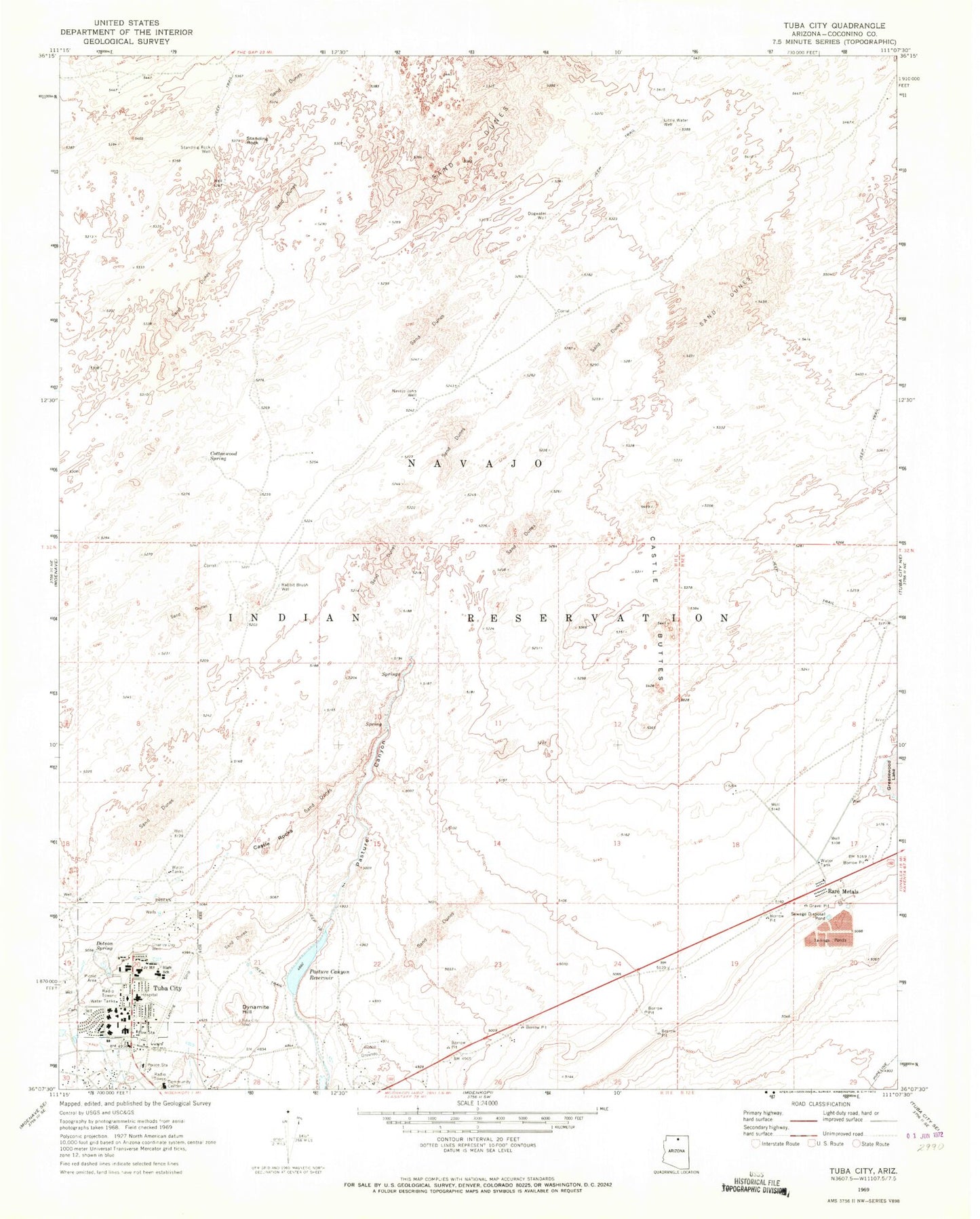
Classic USGS Tuba City Arizona 7.5'x7.5' Topo Map
Couldn't load pickup availability
Historical USGS topographic quad map of Tuba City in the state of Arizona. Map scale may vary for some years, but is generally around 1:24,000. Print size is approximately 24" x 27"
This quadrangle is in the following counties: Coconino.
The map contains contour lines, roads, rivers, towns, and lakes. Printed on high-quality waterproof paper with UV fade-resistant inks, and shipped rolled.
Contains the following named places: Babetts Trailer Court, Castle Buttes, Castle Rocks, Charley Day Well, Cottonwood Spring, Dogwater Well, Dotson Spring, Dynamite Hill, Eagles Nest Intermediate School, Hopi Indian Nation Upper Village of Moenkopi Wastewater Treatment Facility, KGHR-FM (Tuba City), Little Water Well, Navajo John Well, Pasture Canyon Reservoir, Rabbit Brush Well, Rare Metals, Standing Rock, Standing Rock Well, Tuba City, Tuba City Airport, Tuba City Boarding School, Tuba City Census Designated Place, Tuba City High School, Tuba City Junior High School, Tuba City Police Department, Tuba City Primary School, Tuba City Public Library, Tuba City Regional Health Care Center - Hospital, Wild Rose Spring