MyTopo
Classic USGS Tubac Arizona 7.5'x7.5' Topo Map
Couldn't load pickup availability
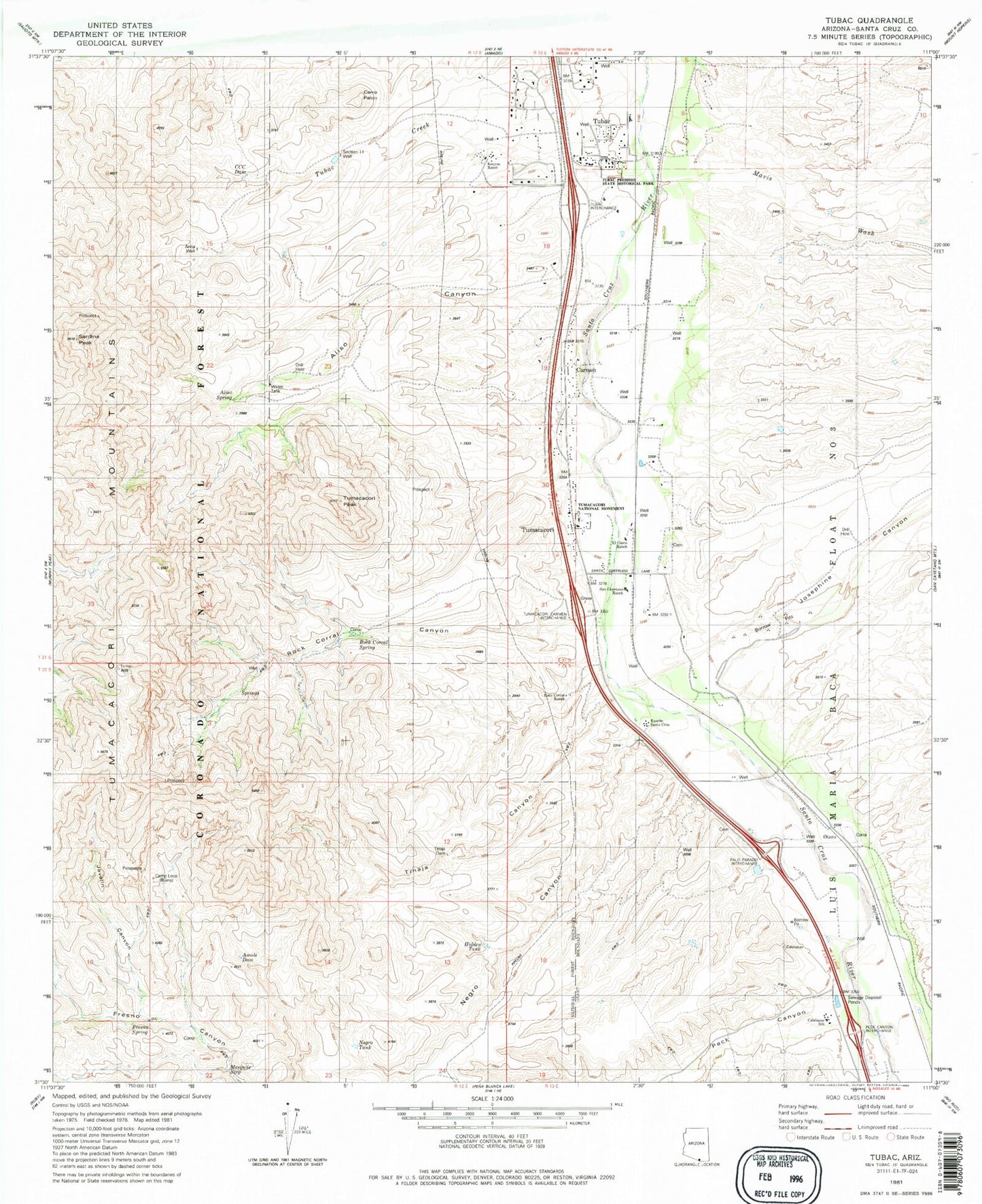
Historical USGS topographic quad map of Tubac in the state of Arizona. Map scale may vary for some years, but is generally around 1:24,000. Print size is approximately 24" x 27"
This quadrangle is in the following counties: Santa Cruz.
The map contains contour lines, roads, rivers, towns, and lakes. Printed on high-quality waterproof paper with UV fade-resistant inks, and shipped rolled.
Contains the following named places: Aliso Canyon, Aliso Spring, Amole Dam, Anita Well, Camp Loco, Carmen, CCC Dam, Cerro Pelon, Coatimundi Middle School, Edwards Ranch, El Canto Ranch, Fresno Spring, Hidden Tank, Javelin Canyon, Josephine Canyon, Kenyon Ranch, Kenyon Tank, Mavis Wash, Mesquite Gray Well, Mesquite Seep, Mountain View Elementary School, Negro Canyon, Negro Tank, Otero, Peck Canyon, Rancho Santa Cruz, Rio Rico High School, Rio Rico Landfill, Rio Rico Northwest Census Designated Place, Rock Corral Canyon, Rock Corral Ranch, Rock Corral Spring, San Cayetano Ranch, Sardina Peak, Section Eleven Well, The Church at Tubac, Tinaja Canyon, Tinaja Dam, Tubac, Tubac Census Designated Place, Tubac Creek, Tubac Fire District Station 1, Tubac Fire District Station 2, Tubac Presidio State Historical Park, Tubac Ultralight Flightpark, Tumacacori, Tumacacori Mountains, Tumacacori National Historical Park, Tumacacori Peak, Tumacacori Post Office, Tumacacori Private Land Grant, Tumacacori-Carmen Census Designated Place, ZIP Code: 85640


