MyTopo
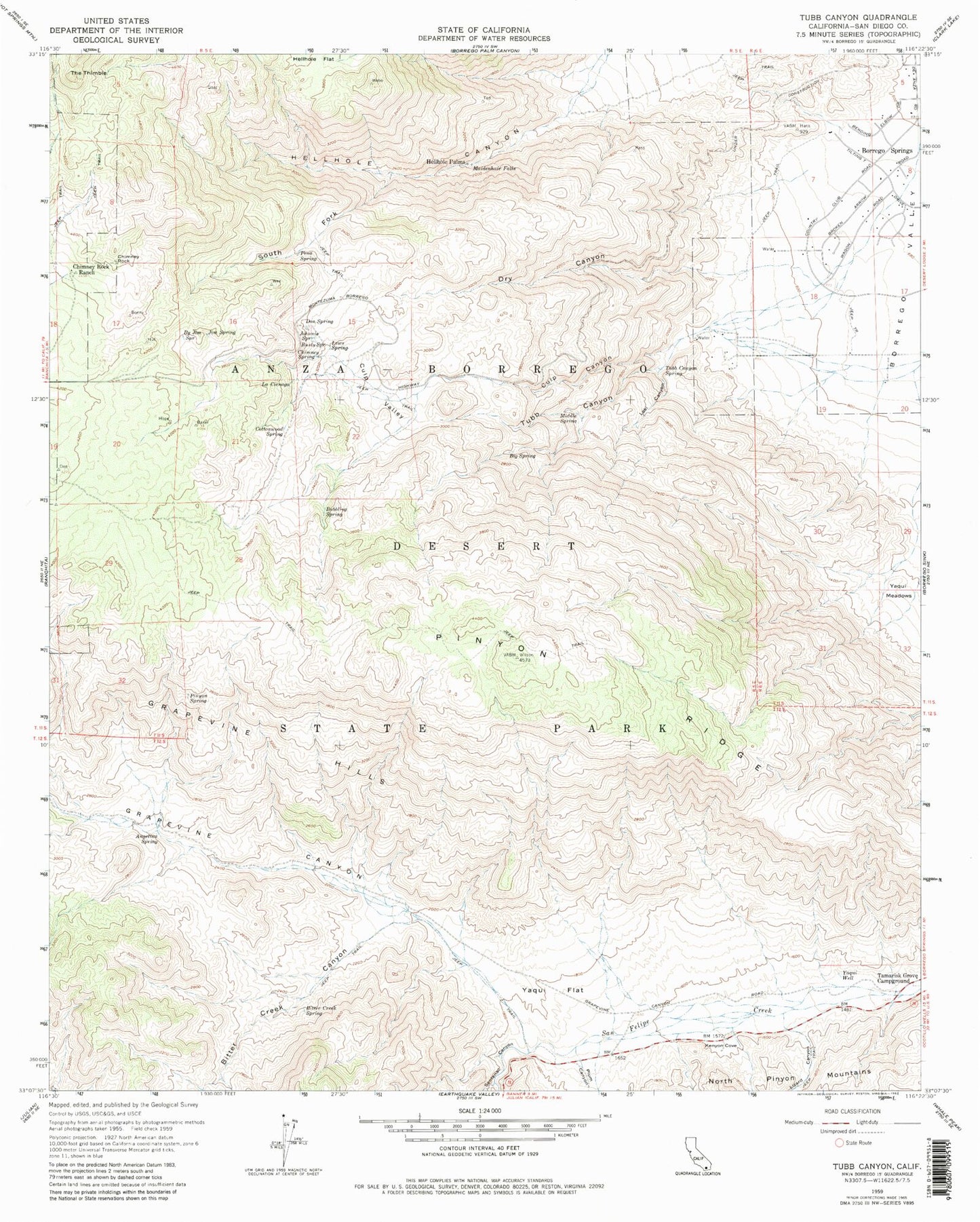
Classic USGS Tubb Canyon California 7.5'x7.5' Topo Map
Couldn't load pickup availability
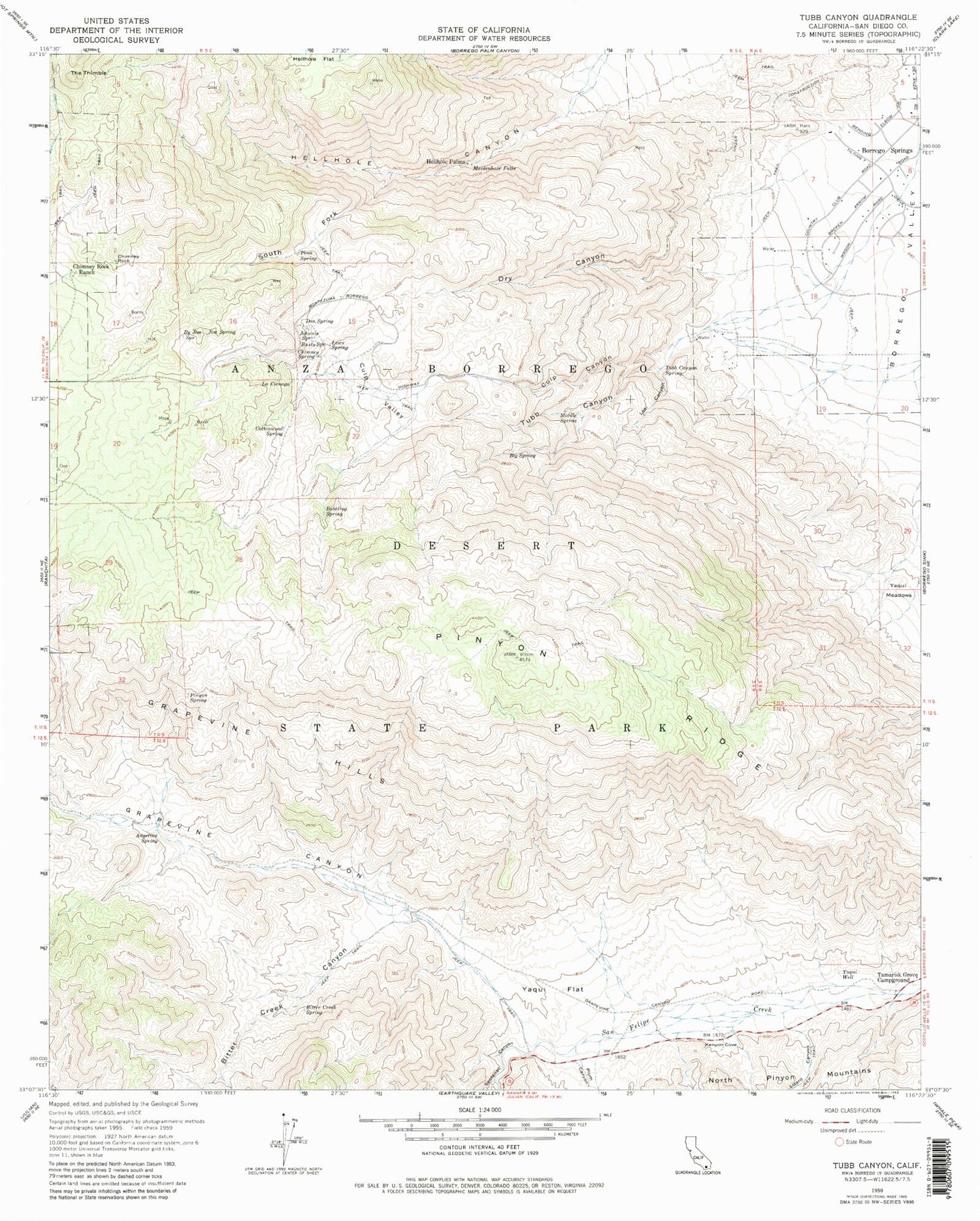
Historical USGS topographic quad map of Tubb Canyon in the state of California. Typical map scale is 1:24,000, but may vary for certain years, if available. Print size: 24" x 27"
This quadrangle is in the following counties: San Diego.
The map contains contour lines, roads, rivers, towns, and lakes. Printed on high-quality waterproof paper with UV fade-resistant inks, and shipped rolled.
Contains the following named places: Angelina Spring, Big Spring, Bitter Creek Canyon, Bitter Creek Spring, Bubbling Spring, By Jim Spring, Chimney Rock, Chimney Rock Ranch, Chimney Spring, Cottonwood Spring, Culp Canyon, Culp Valley, Don Spring, Dry Canyon, Grapevine Canyon, Grapevine Hills, Hellhole Canyon, Jim Spring, Johnnie Spring, Kenyon Cove, La Cienaga, Lews Spring, Lizard Canyon, Loki Canyon, Maidenhair Falls, Middle Spring, Pena Spring, Pinyon Ridge, Pinyon Spring, Plum Canyon, Rusty Spring, Sentenac Canyon, South Fork Hellhole Canyon, Tamarisk Grove Campground, The Thimble, Tubb Canyon, Tubb Canyon Spring, Yaqui Flat, Yaqui Well, Hellhole Palms, Lookout Point, Paroli Homesite Campground, The Galleria Shopping Center, Yaqui Well Nature Trail, Angelina Spring Cultural Preserve, Culp Valley Cultural Preserve


