MyTopo
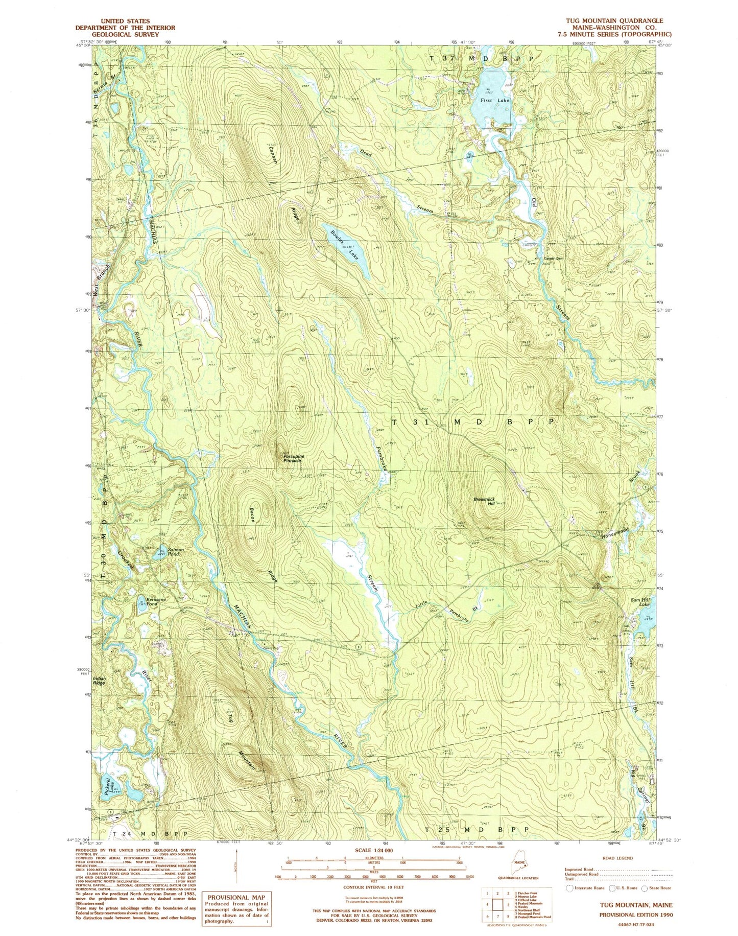
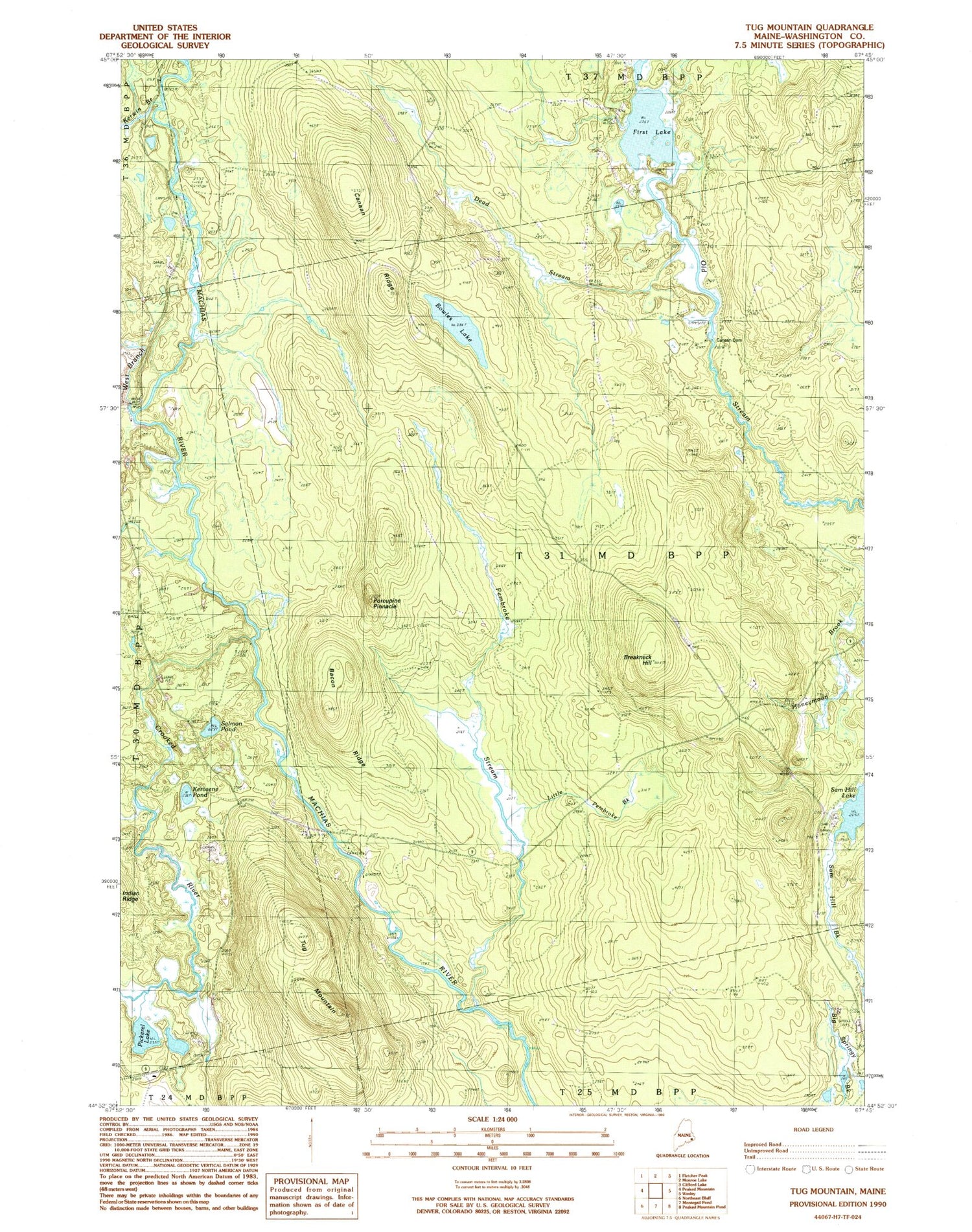
Classic USGS Tug Mountain Maine 7.5'x7.5' Topo Map
Couldn't load pickup availability
Historical USGS topographic quad map of Tug Mountain in the state of Maine. Typical map scale is 1:24,000, but may vary for certain years, if available. Print size: 24" x 27"
This quadrangle is in the following counties: Washington.
The map contains contour lines, roads, rivers, towns, and lakes. Printed on high-quality waterproof paper with UV fade-resistant inks, and shipped rolled.
Contains the following named places: Bacon Ridge, Bowles Lake, Breakneck Hill, Canaan Dam, Canaan Ridge, Crooked River, Dead Stream, Dead Stream, First Lake, Kerosene Pond, Kerwin Brook, Little Pembroke Brook, Pembroke Stream, Pickerel Lake, Porcupine Pinnacle, Robinson Dam, Salmon Pond, Sam Hill Lake, Tug Mountain, West Branch Machias River, Worcester Lodge, First Lake, Day Block Township