MyTopo
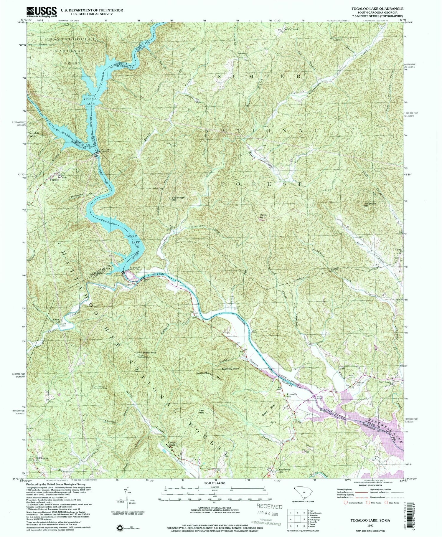
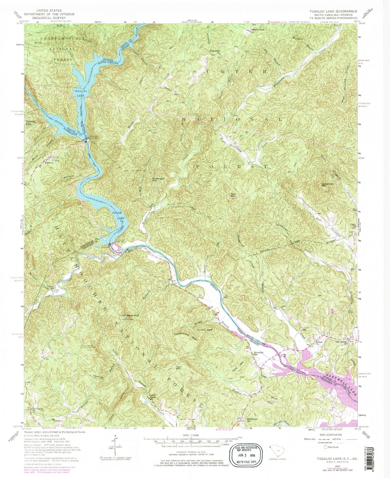
Classic USGS Tugaloo Lake Georgia 7.5'x7.5' Topo Map
Couldn't load pickup availability
Historical USGS topographic quad map of Tugaloo Lake in the states of Georgia, South Carolina. Typical map scale is 1:24,000, but may vary for certain years, if available. Print size: 24" x 27"
This quadrangle is in the following counties: Habersham, Oconee, Rabun, Stephens.
The map contains contour lines, roads, rivers, towns, and lakes. Printed on high-quality waterproof paper with UV fade-resistant inks, and shipped rolled.
Contains the following named places: Bethlehem School, Big Shoal Branch, Black Branch, Black Mountain, Cedar Creek, Charlie Branch, Davidson Creek, Mason Branch, Moccasin Creek, Moody Branch, Old Toccoa Church, Prather Creek, Rocky Branch, Rothwell Creek, Tallulah Gorge, Toccoa Creek, Union Church, Worse Creek, Goat Mountain, Lee Mountain, Trembly Bald, Tugaloo, Yellowback Mountain, Bethlehem Church, Devil Den Creek, Old Toccoa Baptist Cemetery, Prather Bridge, Prather Cemetery, Abram Mountain, McCracken Ford (historical), Panther Creek, Bad Creek, Camp Mikell, Cool Springs Recreation Area, Tallulah River, Yonah Lake, Riverside School, Yonah Dam, Riverside Church, Tugaloo Lake, Chattooga River, Battle Creek, Big Branch, Boatwright Creek, Cherry Cove Branch, Daniel Branch, Devil Hole Branch, Devils Branch, Double Branch, Drummond Creek, East Longnose Creek, Joe Branch, Little Brasstown Creek, Mill Branch, Porter Branch, Wallace Branch, Boatwright Mountain, Pine Mountain, Tugaloo Dam, Roletter Pond Dam D-1664, Roletter Pond, Church of God, Damascus School (historical), Holdins Mill (historical), Pine Mountain Hunt Camp, Damascus Baptist Church Graveyard, Old Liberty Baptist Church Graveyard, Adison Church, Barton Creek, Battle Creek, Longnose Creek, Longnose Mountain, Brasstown Creek, Damascus Baptist Church, Old Liberty Baptist Church, Prather Bridge, Unity Baptist Church


