MyTopo
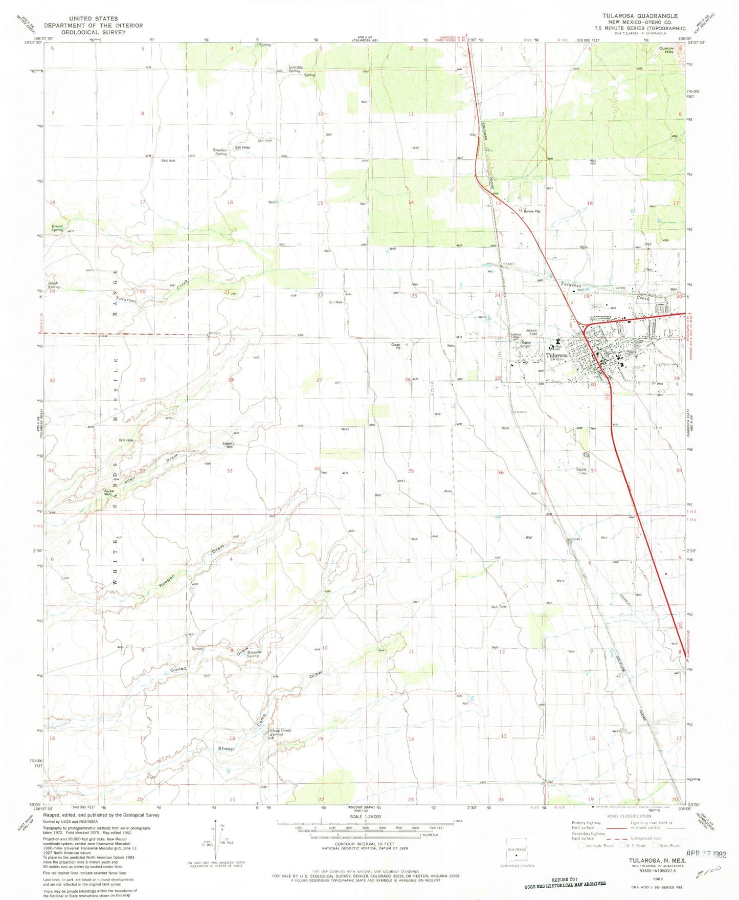
Classic USGS Tularosa New Mexico 7.5'x7.5' Topo Map
Couldn't load pickup availability
Historical USGS topographic quad map of Tularosa in the state of New Mexico. Map scale may vary for some years, but is generally around 1:24,000. Print size is approximately 24" x 27"
This quadrangle is in the following counties: Otero.
The map contains contour lines, roads, rivers, towns, and lakes. Printed on high-quality waterproof paper with UV fade-resistant inks, and shipped rolled.
Contains the following named places: 10016 Water Well, 10017 Water Well, 10018 Water Well, 10021 Water Well, 10023 Water Well, 10025 Water Well, 10027 Water Well, 10029 Water Well, 10030 Water Well, 10033 Water Well, 10034 Water Well, 10106 Water Well, 10107 Water Well, 10111 Water Well, 10114 Water Well, 10119 Water Well, 10125 Water Well, 10129 Water Well, 10131 Water Well, 10133 Water Well, 10134 Water Well, 10138 Water Well, 10141 Water Well, 10143 Water Well, 10294 Water Well, 10301 Water Well, 10314 Water Well, Aguilar Well, Beckett Farm Airport, Berral Well, Brazel Spring, Calvary Baptist Church, Church of Christ church, Church of the Nazarene, Clayton Well, First Baptist Church, French Spring, Jack Rabbit Flats Volunteer Fire Department, Kenny Well, Lomitas Ranch, Lomitas Spring, Mesquite Spring, Purday Ranch, Round Mountain Spring, Saint Francis de Paula, Scholler Spring, Sheep Camp Springs, Sidwell Well, South Spring, Tecolote Canyon, The Gospel Tabernacle, Tularosa, Tularosa High School, Tularosa Historical Marker, Tularosa Middle School, Tularosa Original Townsite Historic District, Tularosa Police Department, Tularosa Post Office, Tularosa Volunteer Fire Department, Tularosa Weather Station, Village of Tularosa


