
MyTopo
Classic USGS Tule Dam Spring Nevada 7.5'x7.5' Topo Map
Regular price
$16.95
Regular price
Sale price
$16.95
Unit price
per
Couldn't load pickup availability
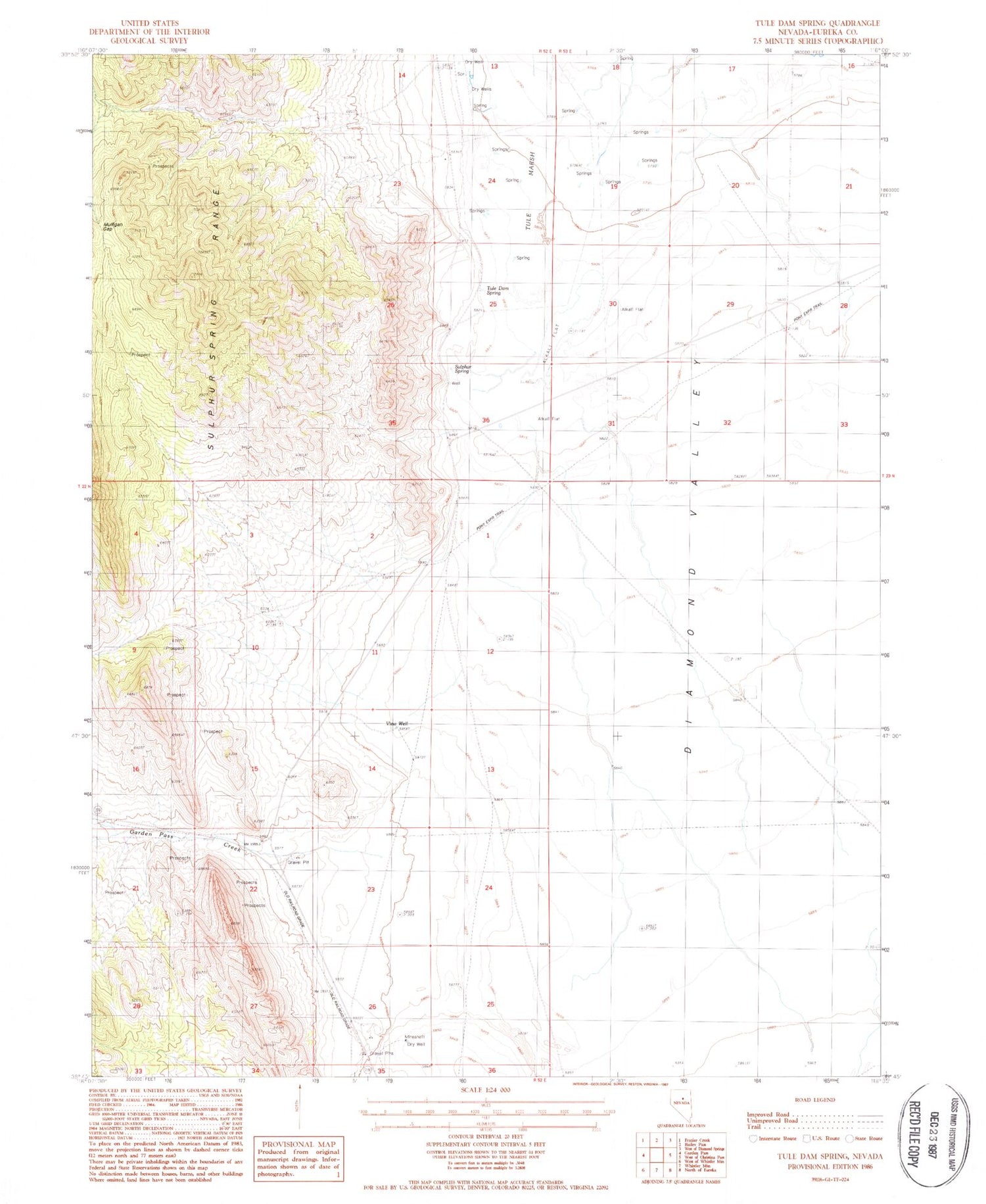
Historical USGS topographic quad map of Tule Dam Spring in the state of Nevada. Map scale may vary for some years, but is generally around 1:24,000. Print size is approximately 24" x 27"
This quadrangle is in the following counties: Eureka.
The map contains contour lines, roads, rivers, towns, and lakes. Printed on high-quality waterproof paper with UV fade-resistant inks, and shipped rolled.
Contains the following named places: Garden Pass Creek, Gordon Pass, Mulligan Gap, Sulpher Springs Ranch, Sulphur Spring, Sulphur Springs Station, Tule Dam Spring, Tule Marsh, Tyrone Gap, View Well


