MyTopo
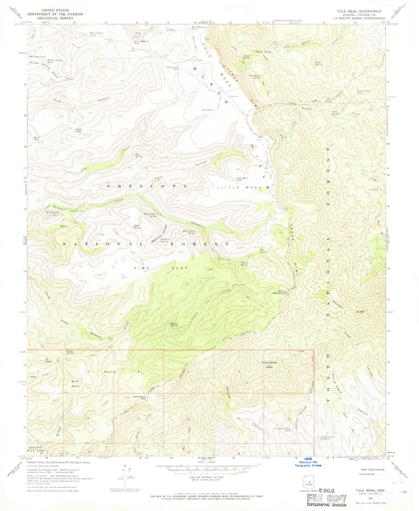
Classic USGS Tule Mesa Arizona 7.5'x7.5' Topo Map
Couldn't load pickup availability
Historical USGS topographic quad map of Tule Mesa in the state of Arizona. Typical map scale is 1:24,000, but may vary for certain years, if available. Print size: 24" x 27"
This quadrangle is in the following counties: Yavapai.
The map contains contour lines, roads, rivers, towns, and lakes. Printed on high-quality waterproof paper with UV fade-resistant inks, and shipped rolled.
Contains the following named places: Quail Tank, Beehouse Canyon, Beehouse Spring, Bishop Spring, Black Alder Spring, Brush Spring, Buck Basin, Chalk Spring, Christmas Tree Tank, Cold Water Spring, Coldwater Tank Number Two, Dans Spring, Double T Ranch, Duck Spring, Hidden Spring, High Spring, Hoop-em-up Tank, Horse Pasture Tank, IM Peak, Lime Spring, Little Mesa, Little Mesa Tanks, MT Ranch, Mikes Cabin, Mockingbird Pass, Mud Spring, Nelson Place Spring, Pine Flat, Pine Flat Trail, Pine Mountain, Pine Spring, Saddle Tank, Skeleton Ridge, Tank Canyon, The Cedars, Mount Thomas, Tule Canyon Tank, Tule Mesa, Tule Mountain Tank, Tule Tank, Verde Rim, Verde Rim Trail, Verde Saddle Tank, Willow Spring, Willow Spring Tank, Yellow Jacket Mesa, Yellow Jacket Tank Number Two, Buck Basin Tank, One Eighth Spring, Lower Bishop Spring, Nelson Trail Number One Hundred Fifty Nine, Road Tank, Thistle Tank, Lower Tule Water, Tule Spring, Lower Cedar Tank Number Two, Mikes Spring, Slide Spring, West Water, Rodeer Spring, Rabbit Spring, Oak Water, Brush Water, Canyon Water, Pine Mountain Wilderness, Cloverleaf


