MyTopo
Classic USGS Tule Mountain Texas 7.5'x7.5' Topo Map
Regular price
$16.95
Regular price
Sale price
$16.95
Unit price
per
Couldn't load pickup availability
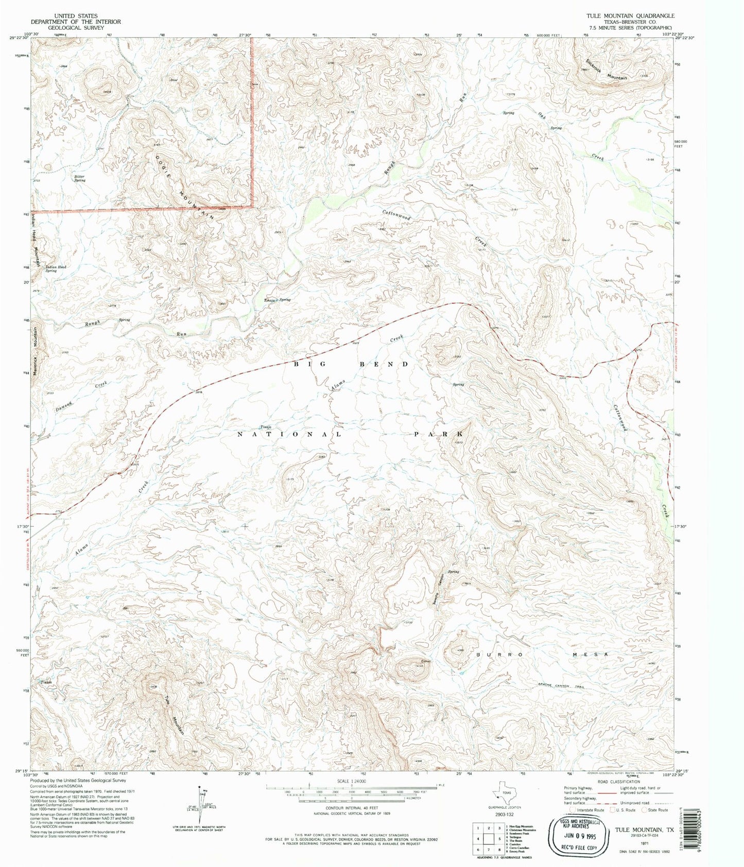
Historical USGS topographic quad map of Tule Mountain in the state of Texas. Map scale may vary for some years, but is generally around 1:24,000. Print size is approximately 24" x 27"
This quadrangle is in the following counties: Brewster.
The map contains contour lines, roads, rivers, towns, and lakes. Printed on high-quality waterproof paper with UV fade-resistant inks, and shipped rolled.
Contains the following named places: Apache Canyon, Apache Canyon Trail, Bitter Spring, Cottonwood Creek, Dogie Mountain, Gano Springs, Indian Head Spring, Oak Creek, Saint Helena Canyon Junction, Slickrock Mountain, The Sphinx, Tule Mountain