MyTopo
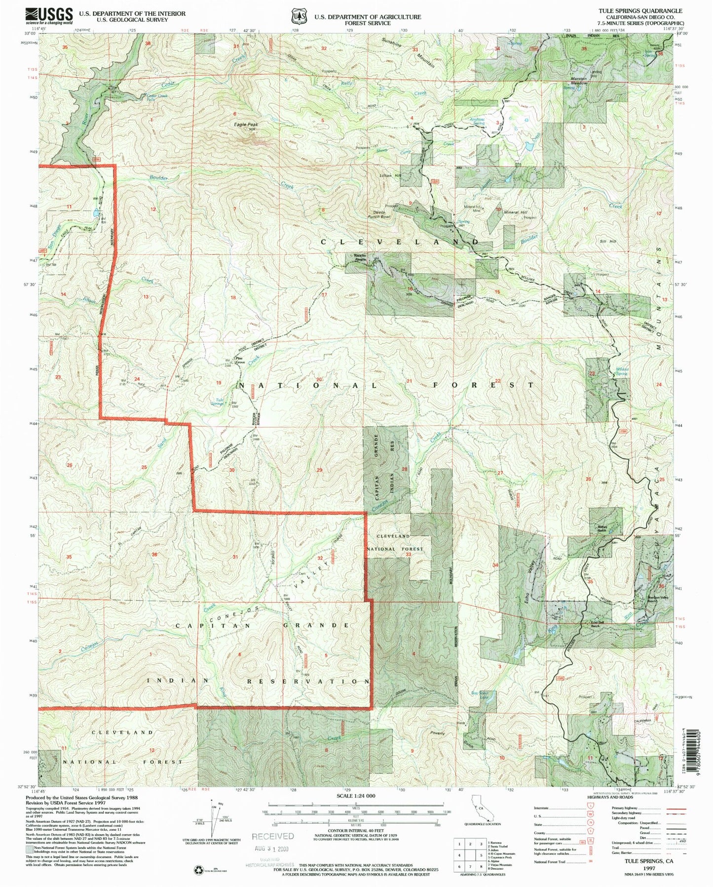
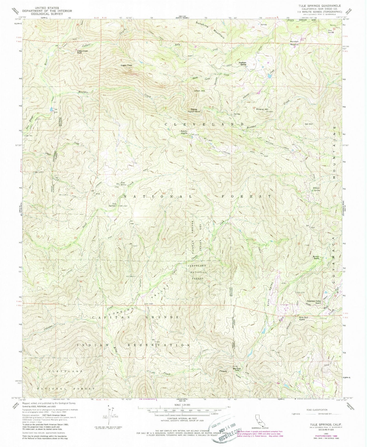
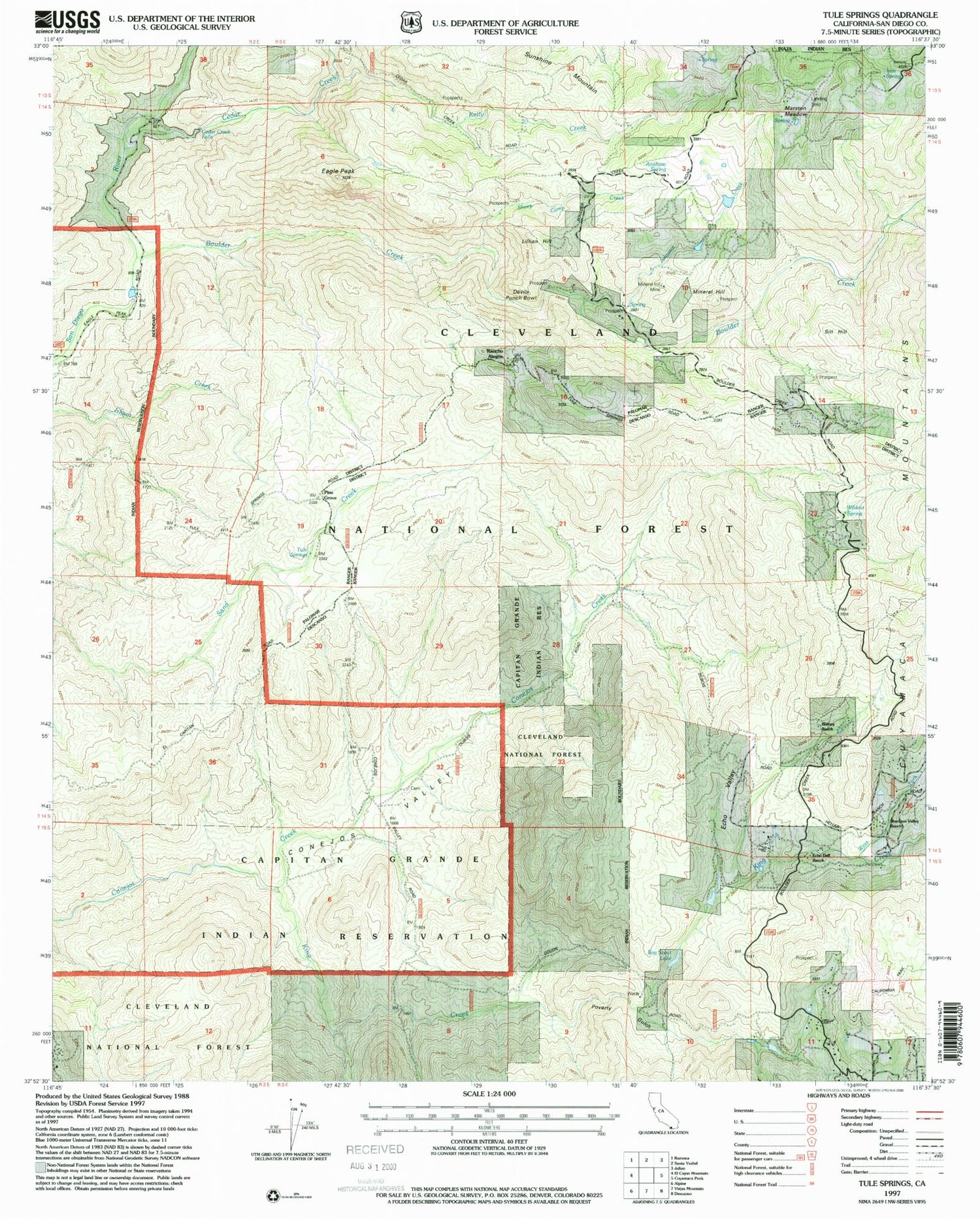
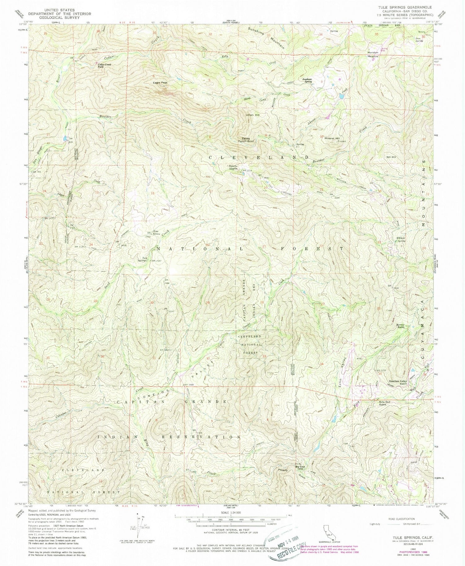
Classic USGS Tule Springs California 7.5'x7.5' Topo Map
Couldn't load pickup availability
Historical USGS topographic quad map of Tule Springs in the state of California. Typical map scale is 1:24,000, but may vary for certain years, if available. Print size: 24" x 27"
This quadrangle is in the following counties: San Diego.
The map contains contour lines, roads, rivers, towns, and lakes. Printed on high-quality waterproof paper with UV fade-resistant inks, and shipped rolled.
Contains the following named places: Anahuac Spring, Boulder Creek, Burney Ranch, Cedar Creek, Cedar Creek Falls, Conejos Valley, Eagle Peak, Echo Dell Ranch, Echo Valley, Iron Spring, Johnson Creek, Kelly Creek, King Creek, Marston Meadow, Mineral Hill, Poverty Gulch, Rancho Alegria, Sheep Camp Creek, Sherilton Valley Ranch, Sunshine Mountain, Tule Springs, West Fork King Creek, Wildcat Spring, Pine Grove, Devils Punchbowl, Lillian Hill, Sill Hill, Anahuac School (historical), Coarse Gold Prospect, Gold Crown Prospect, Last Chance Mine, Mineral Hill Mine, Nona Prospect, Penny Mine, Prosperity Prospect, Spanish Bayonet Mine