MyTopo
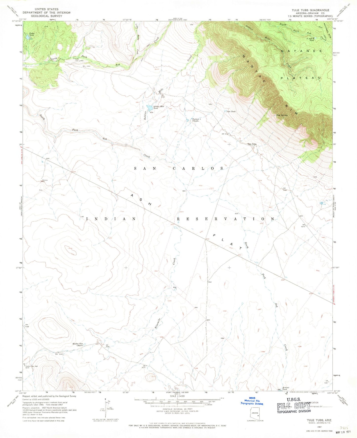
Classic USGS Tule Tubs Arizona 7.5'x7.5' Topo Map
Regular price
$16.95
Regular price
Sale price
$16.95
Unit price
per
Couldn't load pickup availability
Historical USGS topographic quad map of Tule Tubs in the state of Arizona. Map scale may vary for some years, but is generally around 1:24,000. Print size is approximately 24" x 27"
This quadrangle is in the following counties: Graham.
The map contains contour lines, roads, rivers, towns, and lakes. Printed on high-quality waterproof paper with UV fade-resistant inks, and shipped rolled.
Contains the following named places: 7-B Dam, Ash Flat, Hooker Gap Charco, Hooker Gap Well, Little Rocky Creek, Ninemile Creek, Pasture Five Charco, Rodeo Tank, S and E Tank, San Carlos Division, Soldier Hole Tank, Sunrise Well, Tule Springs, Tule Tank, Tule Tubs, Twin Tanks Dam, Yellow Jacket Dam