MyTopo
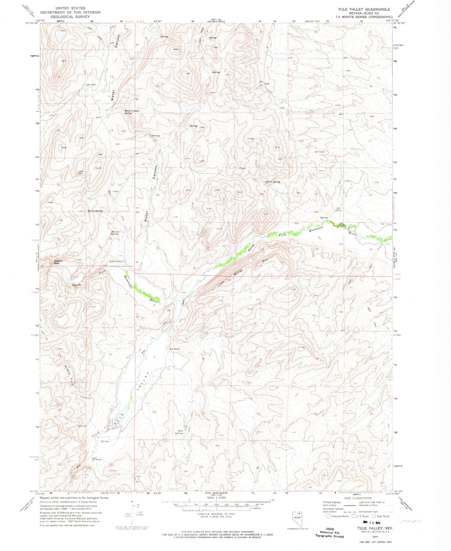
Classic USGS Tule Valley Nevada 7.5'x7.5' Topo Map
Regular price
$16.95
Regular price
Sale price
$16.95
Unit price
per
Couldn't load pickup availability
Historical USGS topographic quad map of Tule Valley in the state of Nevada. Map scale may vary for some years, but is generally around 1:24,000. Print size is approximately 24" x 27"
This quadrangle is in the following counties: Elko.
The map contains contour lines, roads, rivers, towns, and lakes. Printed on high-quality waterproof paper with UV fade-resistant inks, and shipped rolled.
Contains the following named places: Contant Ranch, Devils Gap, Green Spring, Horse Spring, House Spring, Keddy Ranch, Lost Wallet Rim, Middle Field Canyon, Mud Springs, Pie Creek, Tule Ranch, Tule Valley, Upper Tule Ranch, Water Canyon, Water Canyon Spring, Whitaker Dam Site, Willming Valley