MyTopo
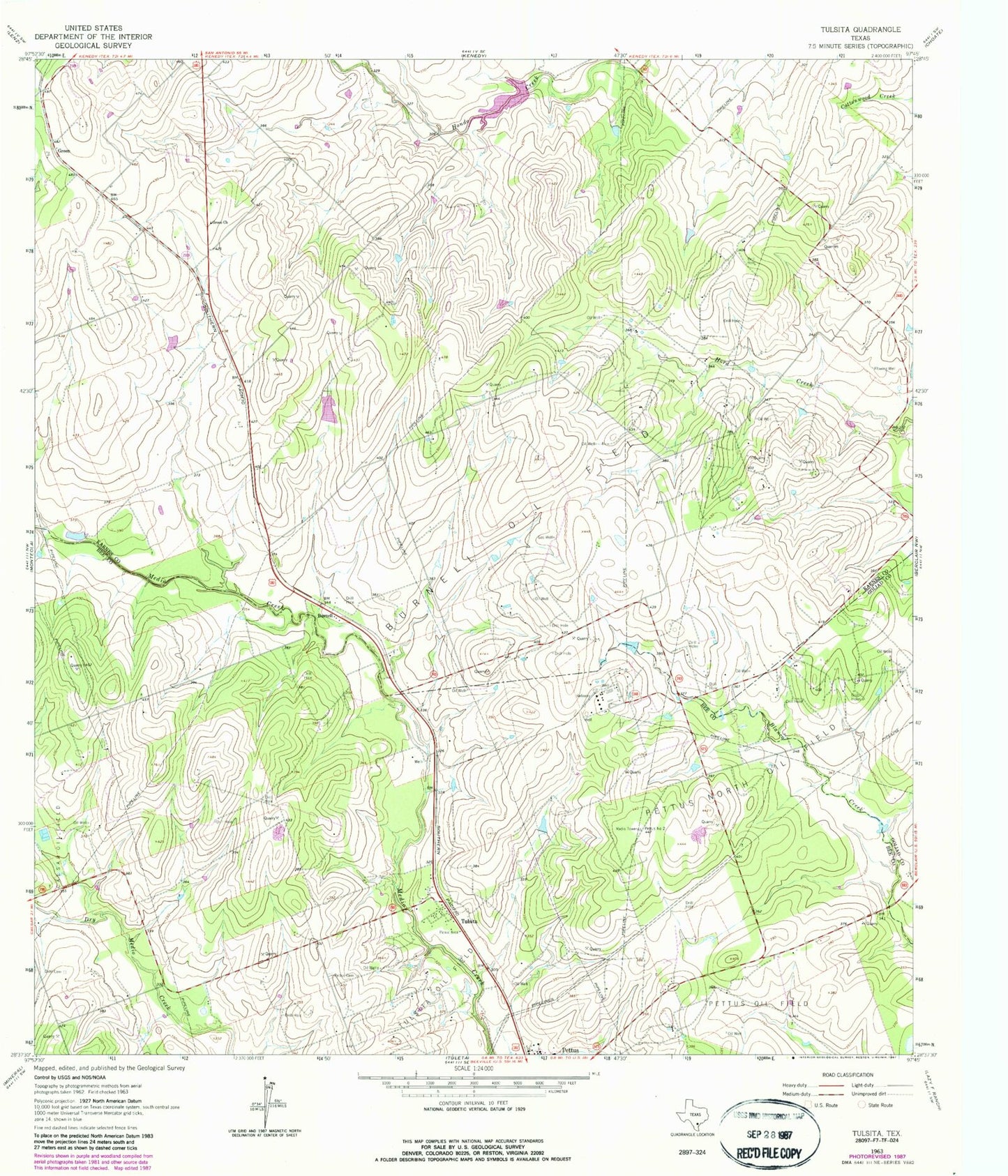
Classic USGS Tulsita Texas 7.5'x7.5' Topo Map
Couldn't load pickup availability
Historical USGS topographic quad map of Tulsita in the state of Texas. Map scale may vary for some years, but is generally around 1:24,000. Print size is approximately 24" x 27"
This quadrangle is in the following counties: Bee, Goliad, Karnes.
The map contains contour lines, roads, rivers, towns, and lakes. Printed on high-quality waterproof paper with UV fade-resistant inks, and shipped rolled.
Contains the following named places: Burnell, Burnell Oil Field, Dahl Cemetery, Green, Green Church, Pettus Cemetery, Pettus North Oil Field, Porter Ranch Airport, Soil Conservation Service Site 1 Dam, Soil Conservation Service Site 1 Reservoir, Texas No Name Number 16 Dam, Tulsita, Tulsita Census Designated Place