MyTopo
Classic USGS Tumalo Oregon 7.5'x7.5' Topo Map
Couldn't load pickup availability
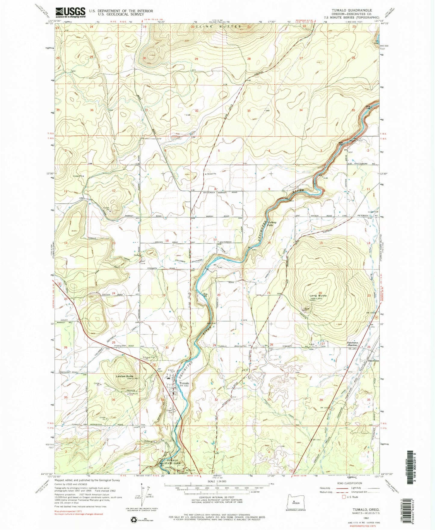
Historical USGS topographic quad map of Tumalo in the state of Oregon. Map scale may vary for some years, but is generally around 1:24,000. Print size is approximately 24" x 27"
This quadrangle is in the following counties: Deschutes.
The map contains contour lines, roads, rivers, towns, and lakes. Printed on high-quality waterproof paper with UV fade-resistant inks, and shipped rolled.
Contains the following named places: Awbrey Falls, City of Bend Fire Department Station 302 Tumalo Fire Station, Deschutes, Deschutes Junction, Deschutes Post Office, Laidlaw Butte, Long Butte, Peterson Rock Garden and Museum, Tumalo, Tumalo Cemetery, Tumalo Census Designated Place, Tumalo Elementary School, Tumalo Post Office, Tumalo State Park