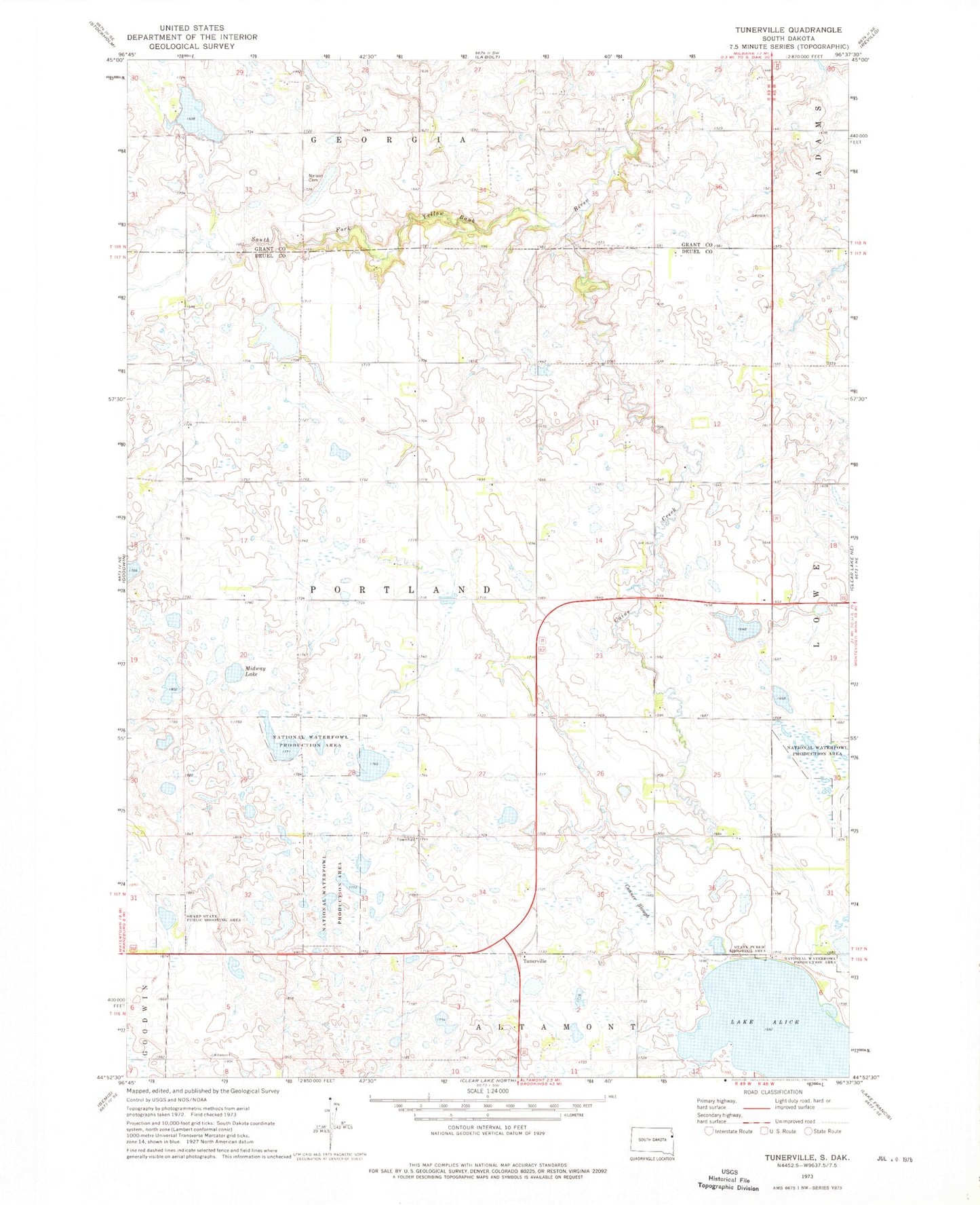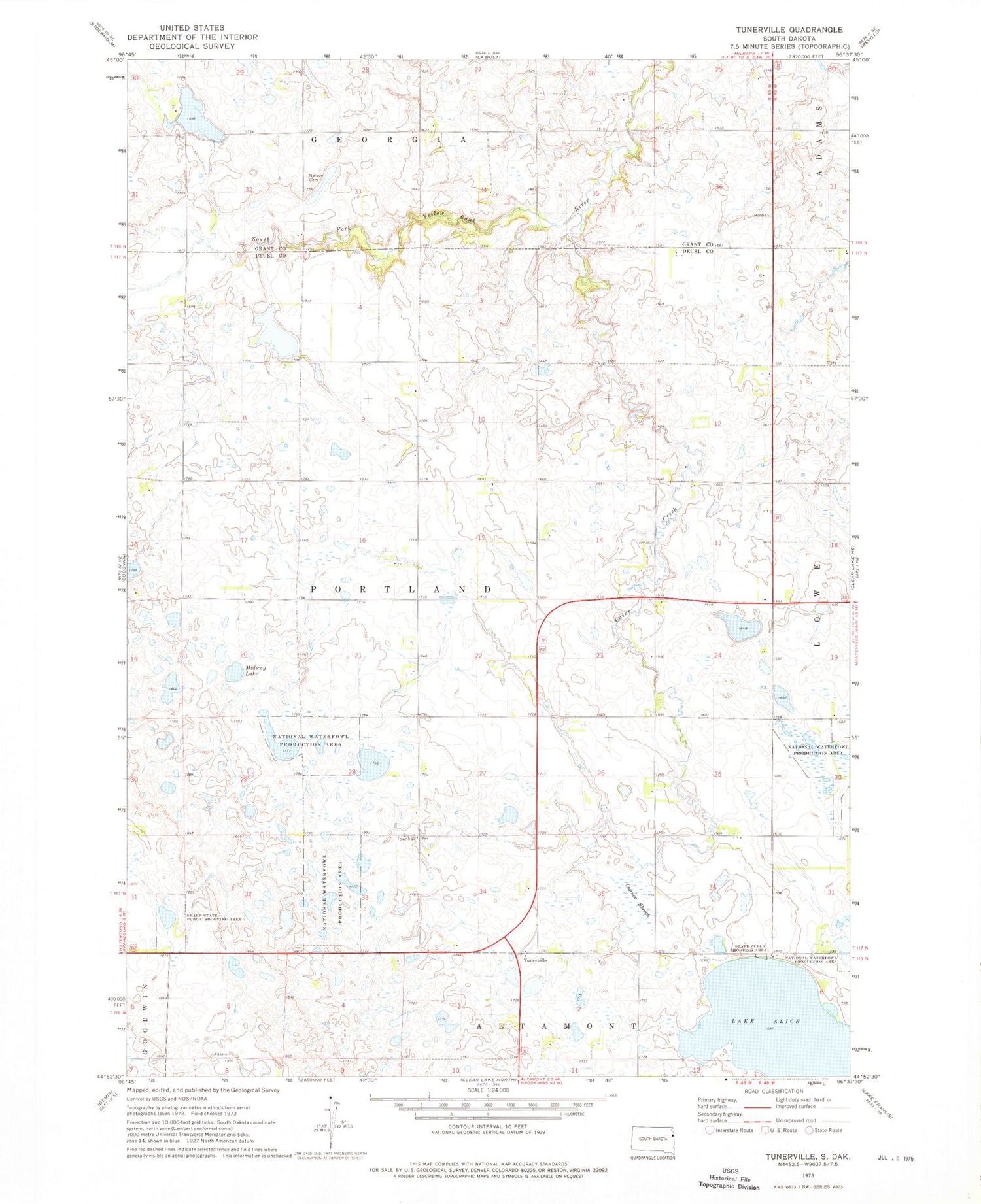
MyTopo
Classic USGS Tunerville South Dakota 7.5'x7.5' Topo Map
Regular price
$16.95
Regular price
Sale price
$16.95
Unit price
per
Couldn't load pickup availability
Historical USGS topographic quad map of Tunerville in the state of South Dakota. Map scale may vary for some years, but is generally around 1:24,000. Print size is approximately 24" x 27"
This quadrangle is in the following counties: Deuel, Grant.
The map contains contour lines, roads, rivers, towns, and lakes. Printed on high-quality waterproof paper with UV fade-resistant inks, and shipped rolled.
Contains the following named places: Caine Creek, Conner Slough, Lake Alice, Little Brook School, Midway Lake, Nelson Cemetery, Pleasant Valley School, Pleasant View School, Sharp State Public Shooting Area, Township of Portland, Tunerville