MyTopo
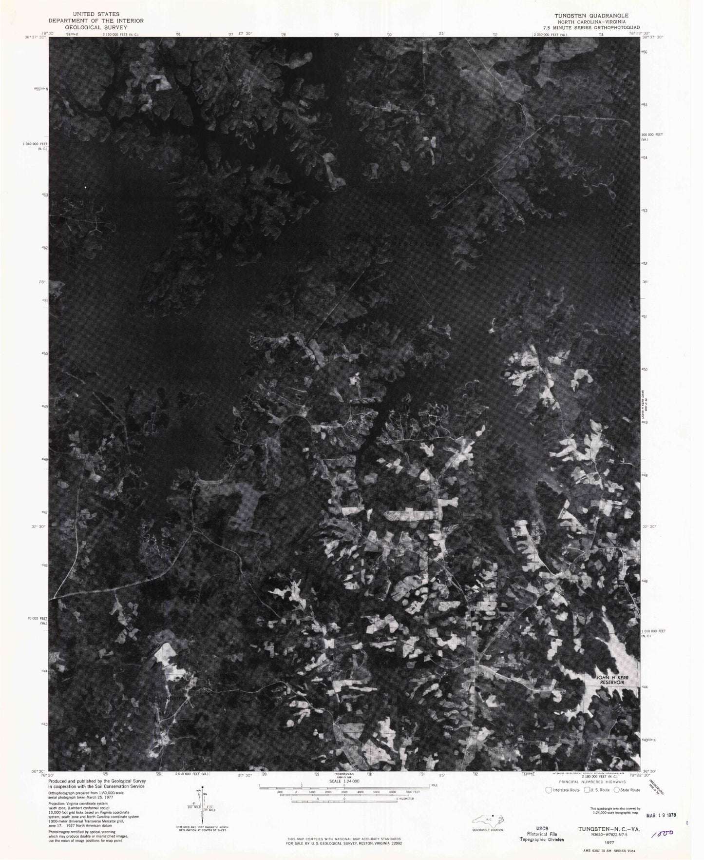
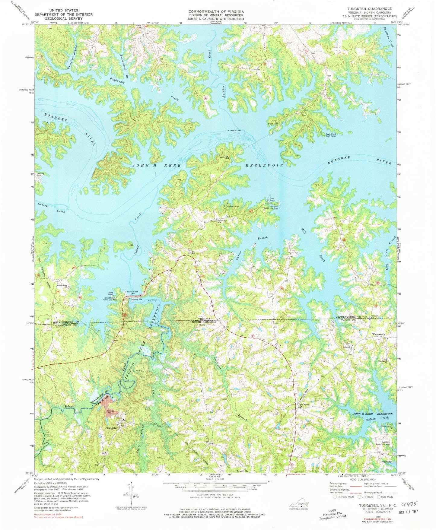
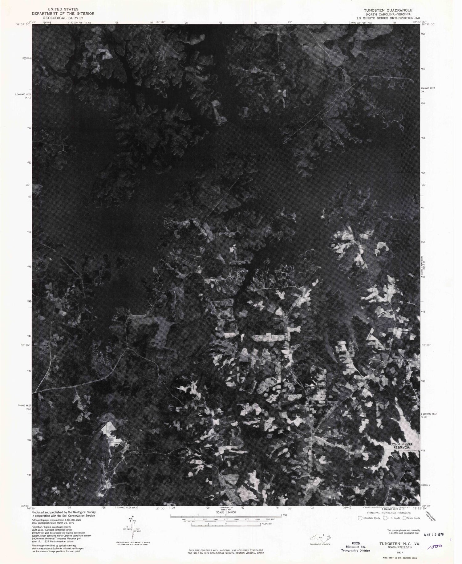
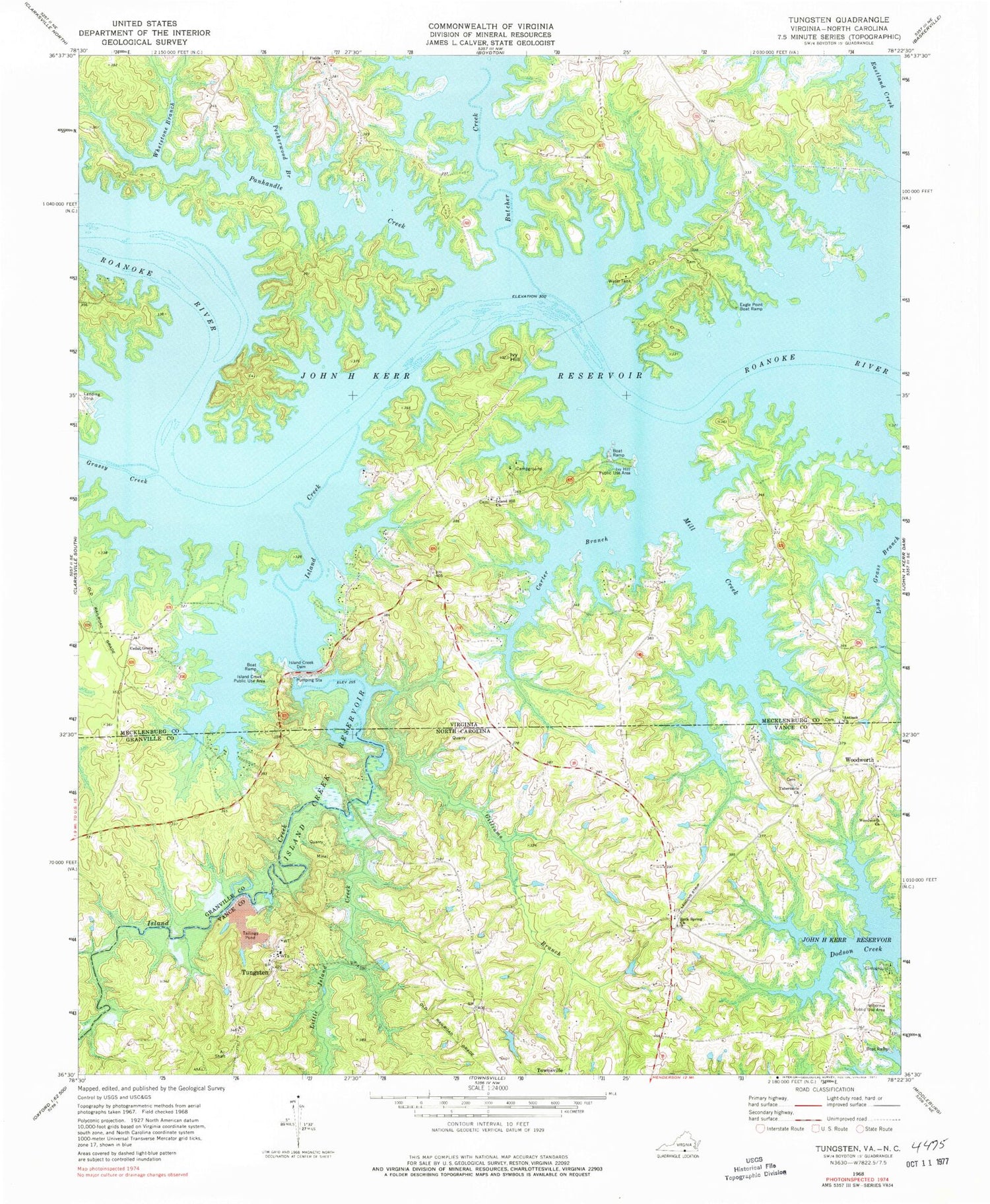
Classic USGS Tungsten North Carolina 7.5'x7.5' Topo Map
Couldn't load pickup availability
Historical USGS topographic quad map of Tungsten in the states of North Carolina, Virginia. Typical map scale is 1:24,000, but may vary for certain years, if available. Print size: 24" x 27"
This quadrangle is in the following counties: Granville, Mecklenburg, Vance.
The map contains contour lines, roads, rivers, towns, and lakes. Printed on high-quality waterproof paper with UV fade-resistant inks, and shipped rolled.
Contains the following named places: Carter Branch, Gilliams Branch, Little Island Creek, Mill Creek, Rock Spring Church, Tabernacle Church, Tungsten, Woodworth Church, Woodworth, Township of Townsville, Grassy Creek, Island Creek Reservoir, Antioch Church, Butcher Creek, Cedar Grove Church, Eagle Point Boat Ramp, Fields Church, Island Creek, Island Creek Dam, Island Creek Public Use Area, Island Hill Church, Ivy Hill, Ivy Hill Public Use Area, Panhandle Creek, Peckerwood Branch, Rocky Branch, Whetstone Branch, Berryhill Plantation, Big Island, Camp Jean Short, Cedar Grove Wildlife Management Area, Cedar Grove School (historical), Clydes Island, Cooper Island, Eagle Point Falls (historical), Eagle Point Wildlife Management Area, Fields Cemetery, Fields Ferry (historical), Fields Island (historical), Fields School (historical), Goats Island, Hundred Islands (historical), Island Hill School (historical), Oakleaf Wildlife Management Area, Ponderosa, Richardson, South Bend (historical), Terrys Island (historical), District 1


