MyTopo
Classic USGS Tunica Mississippi 7.5'x7.5' Topo Map
Couldn't load pickup availability
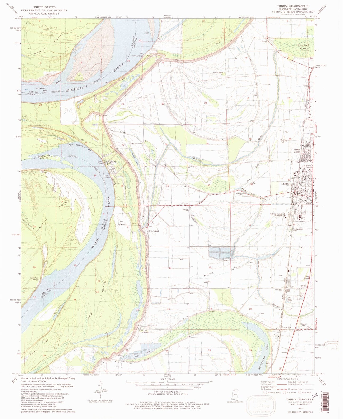
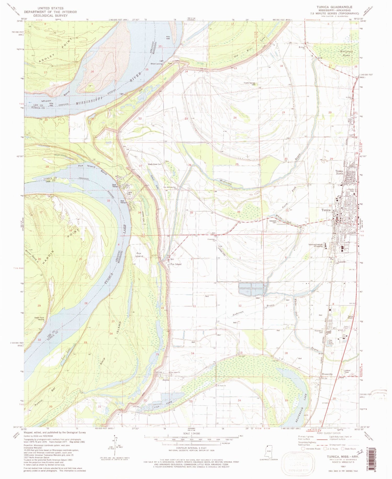
Historical USGS topographic quad map of Tunica in the states of Mississippi, Arkansas. Map scale may vary for some years, but is generally around 1:24,000. Print size is approximately 24" x 27"
This quadrangle is in the following counties: Lee, Tunica.
The map contains contour lines, roads, rivers, towns, and lakes. Printed on high-quality waterproof paper with UV fade-resistant inks, and shipped rolled.
Contains the following named places: Anderson Bayou, Austin, Austin Census Designated Place, Beaverdam Lake, C J Perry Catfish Ponds Dam, Coleman School, Crystal Springs Cemetery, Crystal Springs Church, Evansville, Forestdale Cemetery, Forestdale Church, Forestdale School, Fox Island, Fox Island Bend, Friendship Cemetery, Hardin Point Lodge, Hollywood Brake, Horse Head Lake, Lost Lake, Macedonia Church, MacKinnis River, McKinney Bayou, Mhoon Bend, Mhoon Bend Revetment, Mhoon Landing, Mhoon School, Mount Nebo Cemetery, Mount Nebo Church, Mount Siani Church, New Morning Star Church, New Salem Church, North Tunica, North Tunica Census Designated Place, Oakwood Cemetery, Ralph M Sharpe Airport, S W Seabrook Catfish Ponds Dam, Saint Johns Cemetery, Saint Johns Church, Saint Pauls Church, School Lake, Scotts Cemetery, Scotts Chapel, Shady Grove Cemetery, Shady Grove Church, Shady Grove School, Ship Island, Ship Island Bend, Strangers Home Church, Technical Institute of Learning, Town of Tunica, Tunica, Tunica County, Tunica County Hospital, Tunica County Sheriff's Office, Tunica Fire Department, Tunica Junior High School, Tunica Lake, Tunica North, Tunica Police Department, Tunica Post Office, Wesley Bailey Catfish Pond Dam, ZIP Code: 38676


