MyTopo
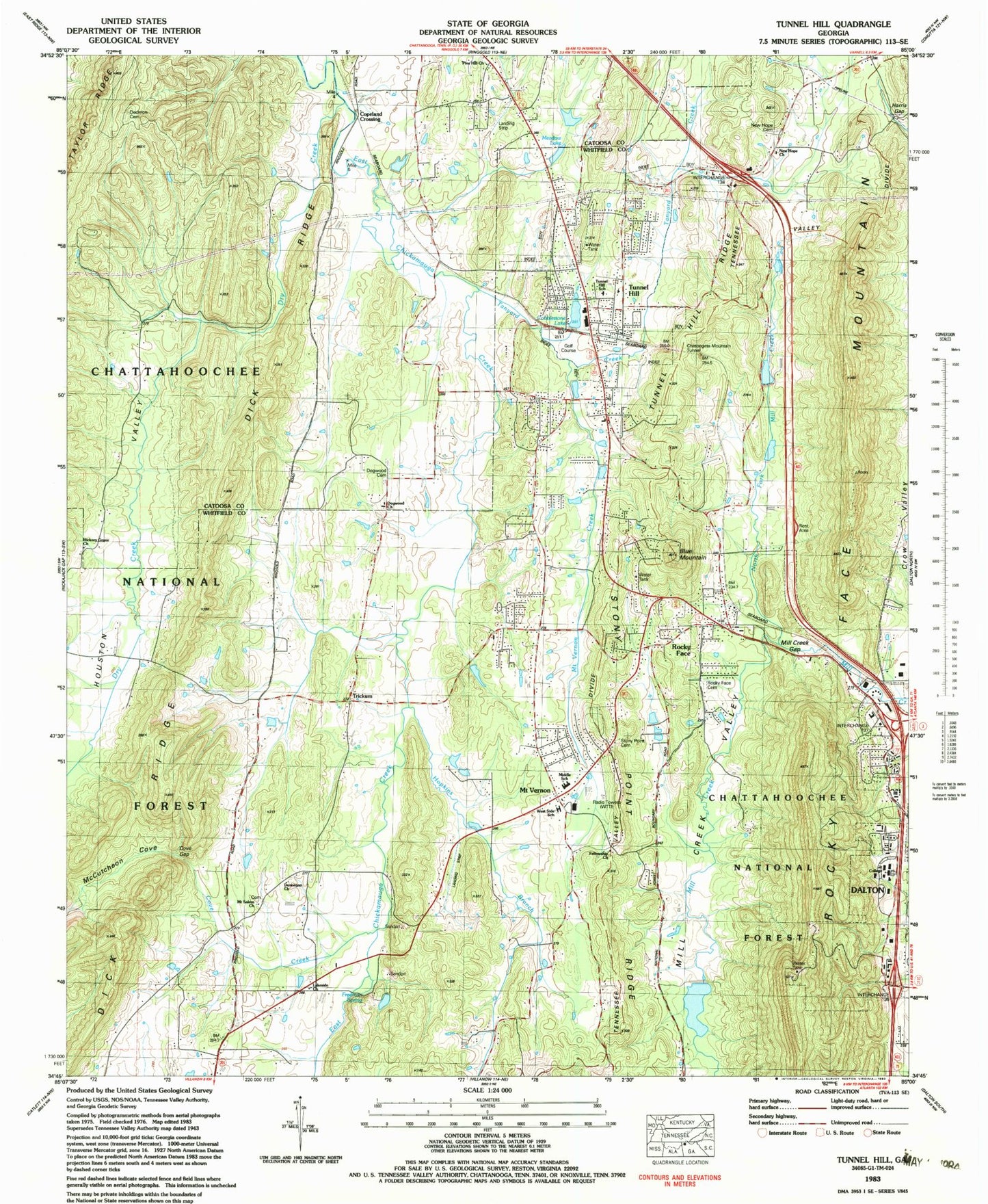
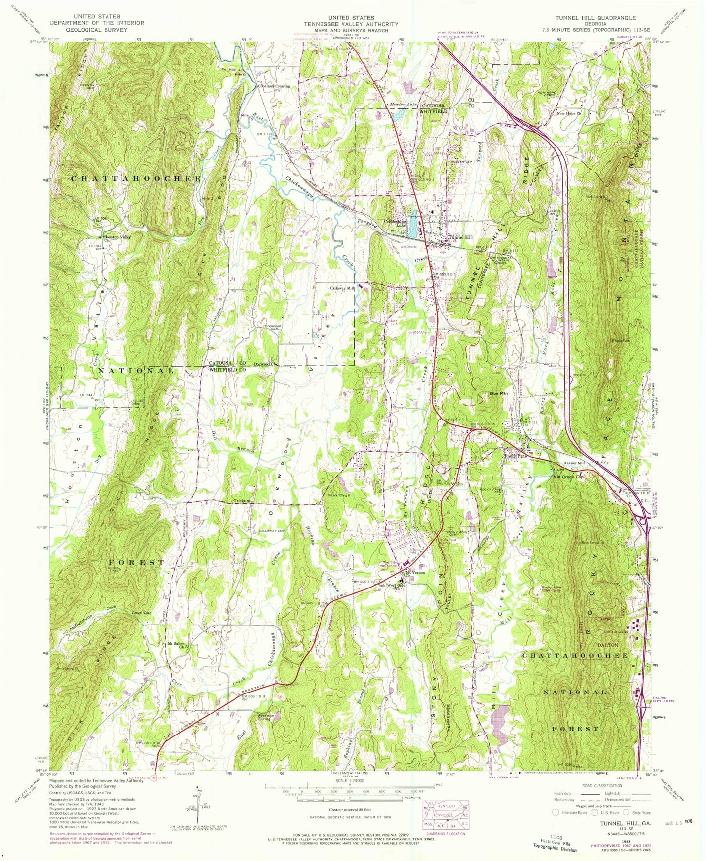
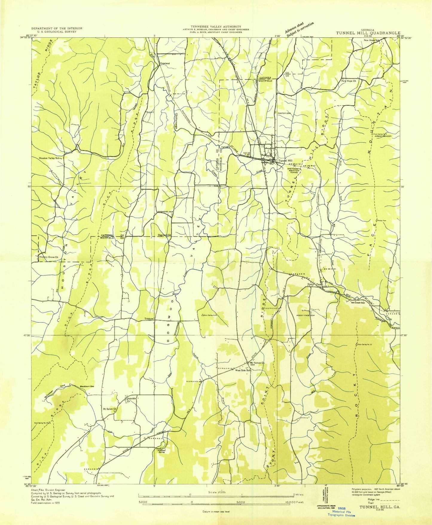
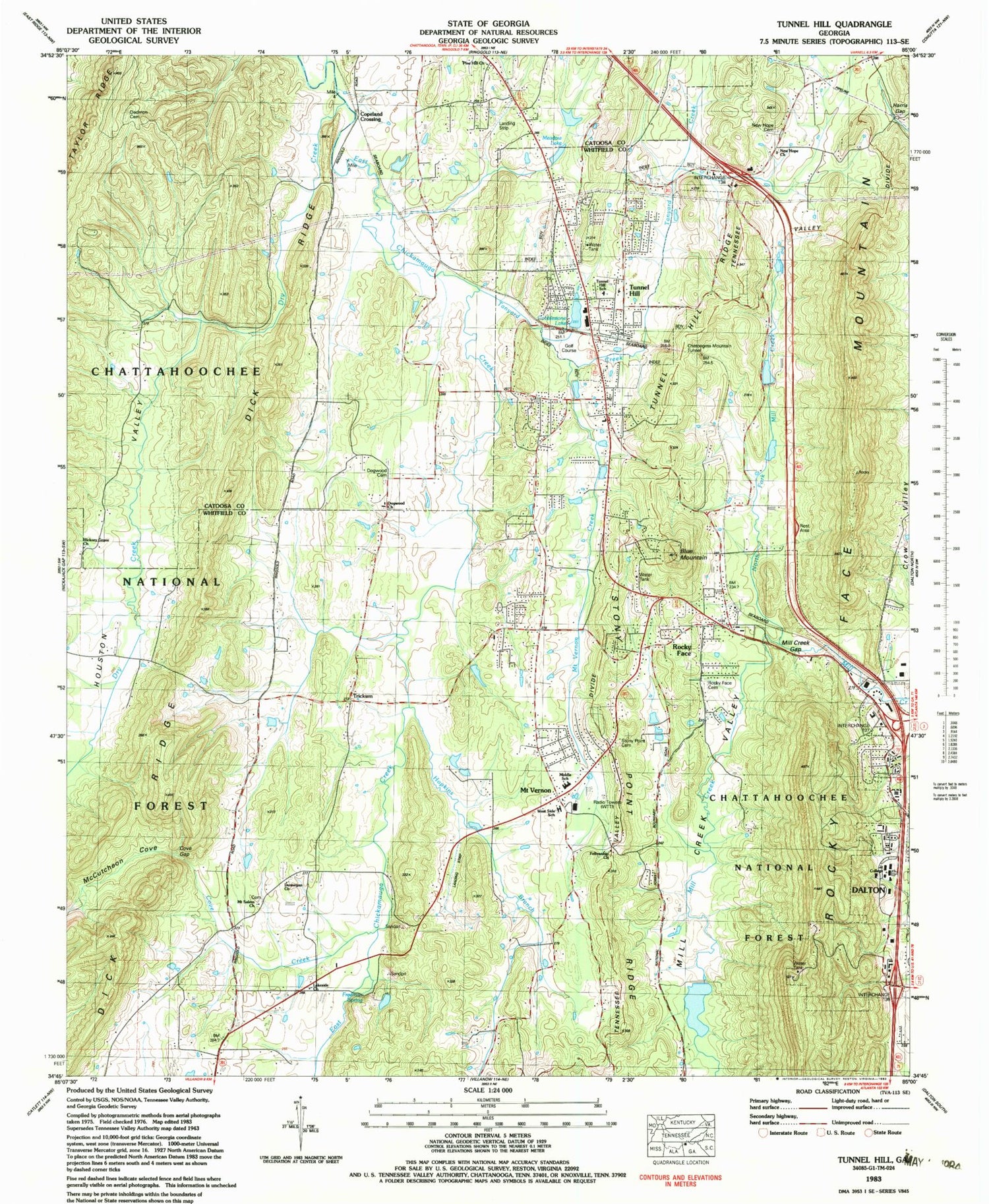
Classic USGS Tunnel Hill Georgia 7.5'x7.5' Topo Map
Couldn't load pickup availability
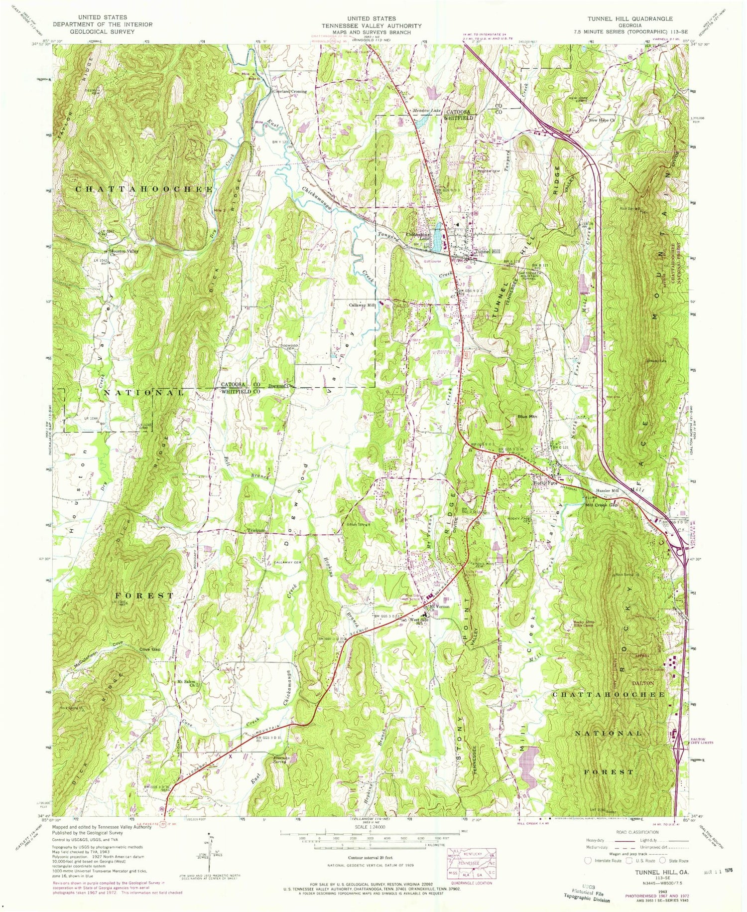
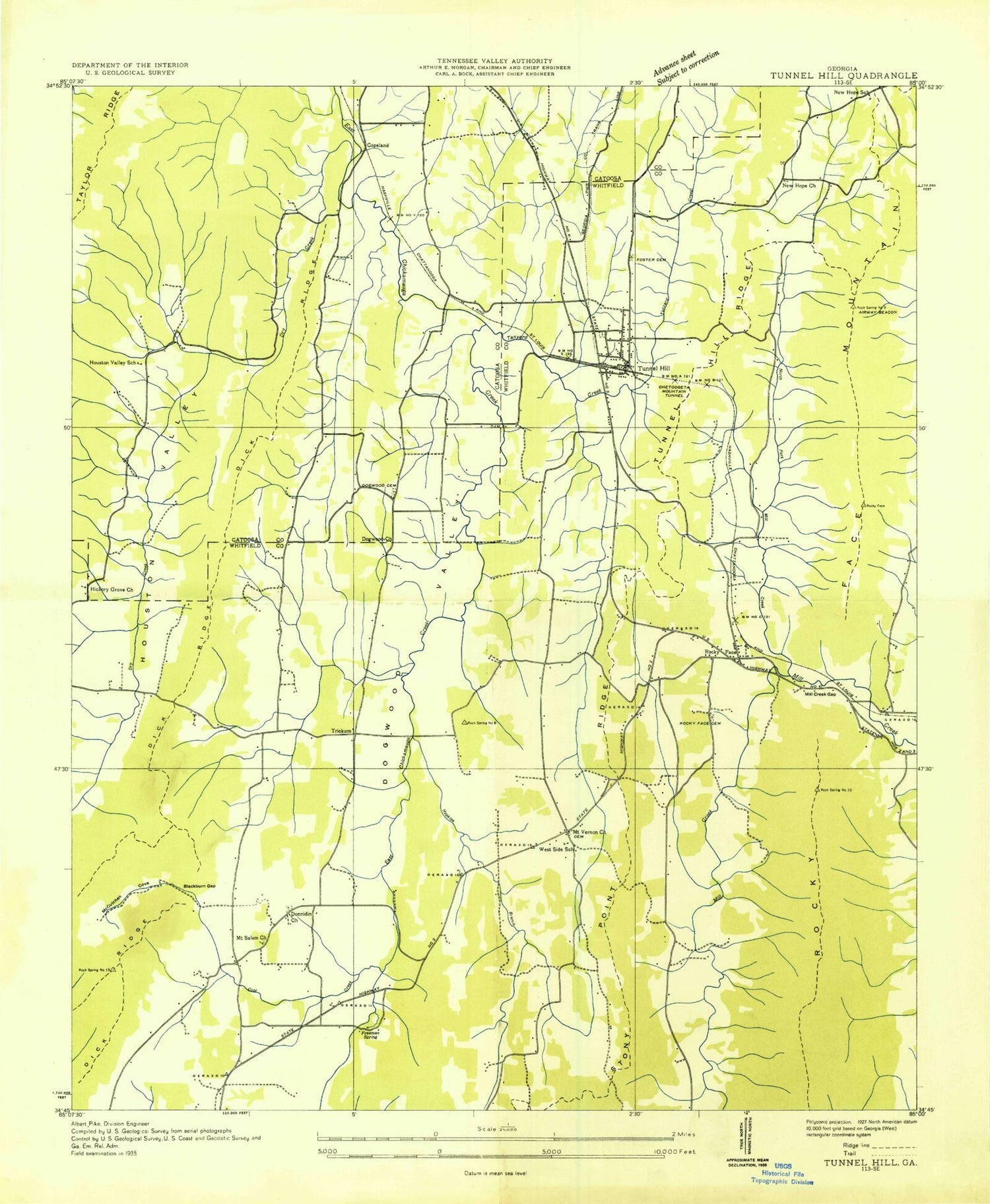
Historical USGS topographic quad map of Tunnel Hill in the state of Georgia. Map scale may vary for some years, but is generally around 1:24,000. Print size is approximately 24" x 27"
This quadrangle is in the following counties: Catoosa, Whitfield.
The map contains contour lines, roads, rivers, towns, and lakes. Printed on high-quality waterproof paper with UV fade-resistant inks, and shipped rolled.
Contains the following named places: Bell Branch, Blue Mountain, Callaway Cemetery, Callaway Mill, Catoosa County Fire Department Station 5, Chetoogeta Mountain Tunnel, City of Tunnel Hill, Cobblestone Lake, Cobblestone Lake Dam, Cook Lake, Copeland Crossing, Cove Creek, Cove Gap, Dalton State College, Dedmon Cemetery, Dogwood Cemetery, Dogwood Christian Academy, Dogwood Church, Dogwood Valley, Dry Creek, Dunnegan Church, Fellowship Church, First Baptist Church of Tunnel Hill, Flying G Ranch Airport, Foster Cemetery, Freeman Spring, Georgia State Patrol Troop A Post 5, Gillilan Lake, Griffin Lake, Griffin Lake Dam, Harris Gap, Hassler Mill, Hiawassee Land Company Lake, Hickory Grove Church, Hickory Grove School, Hopkins Branch, Houston Valley, Houston Valley Church, Lakeside Church, Liberty Church, McCutcheon Cove, Meadow Lake, Mill Creek Gap, Mill Creek Valley, Mill Creek Watershed Dam Number 10, Mill Creek Watershed Dam Number Seven, Mont Lily Station, Mount Salem Church, Mount Vernon, Mount Vernon Church, Mount Vernon Creek, New Hope Cemetery, New Hope Church, North Fork Mill Creek, North Whitfield Church, Pine Hill Church, Rays Gap, Rocky Acres Bible Camp, Rocky Face, Rocky Face Baptist Church, Rocky Face Cemetery, Rocky Face Mountain, Rocky Face Post Office, Spriggs Mill, Stony Point Cemetery, Stony Point Church, Stony Point Ridge, Tanyard Creek, Trickum, Trickum School, Tunnel Hill, Tunnel Hill Elementary School, Tunnel Hill Police Department, Tunnel Hill Post Office, Tunnel Hill Ridge, West Side High School, Westside Elementary School, Westside Middle School, Whitfield County Fire Department Station 6, Whitfield County Fire Department Station 7, WTTI Radio Towers, WTTI-AM (Dalton), ZIP Codes: 30740, 30755
