
MyTopo
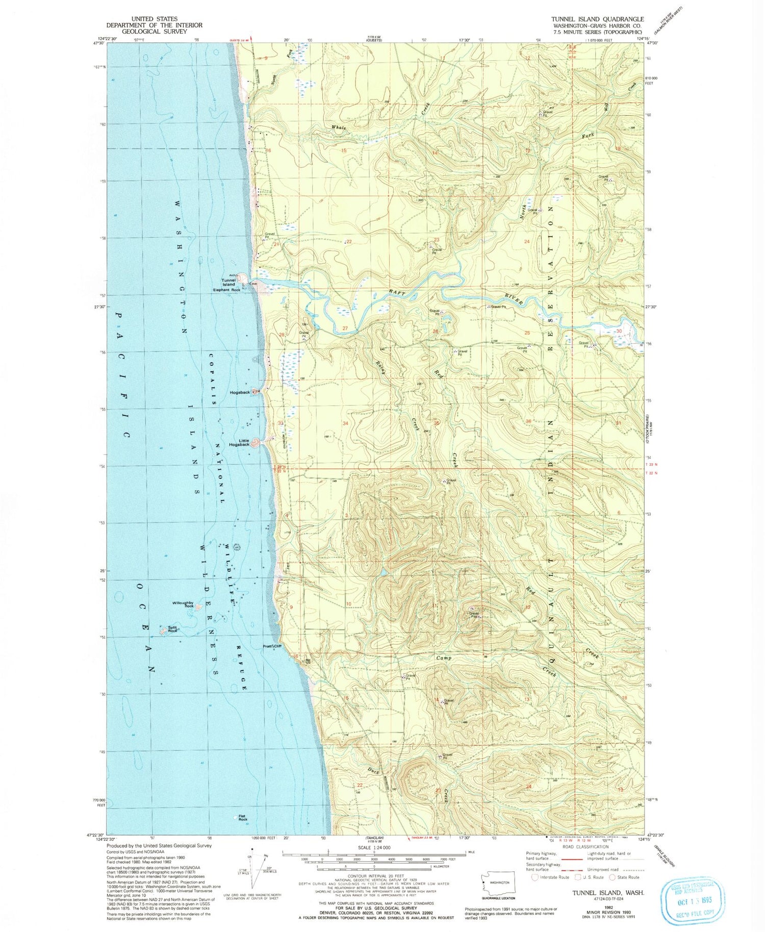
Classic USGS Tunnel Island Washington 7.5'x7.5' Topo Map
Couldn't load pickup availability
Historical USGS topographic quad map of Tunnel Island in the state of Washington. Map scale may vary for some years, but is generally around 1:24,000. Print size is approximately 24" x 27"
This quadrangle is in the following counties: Grays Harbor.
The map contains contour lines, roads, rivers, towns, and lakes. Printed on high-quality waterproof paper with UV fade-resistant inks, and shipped rolled.
Contains the following named places: Camp Creek, Copalis National Wildlife Refuge, Duck Creek, Elephant Rock, Flat Rock, Hogsback, Little Hogsback, North Fork Raft River, North Fork Whale Creek, Pratt Cliff, Raft River, Rainy Creek, Red Creek, Split Rock, Tunnel Island, Whale Creek, Willoughby Rock, Wolf Creek


