MyTopo
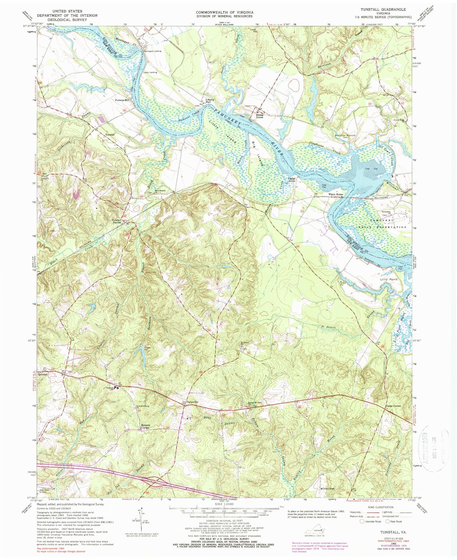
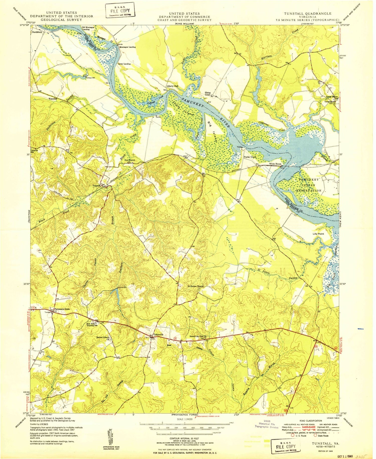
Classic USGS Tunstall Virginia 7.5'x7.5' Topo Map
Couldn't load pickup availability
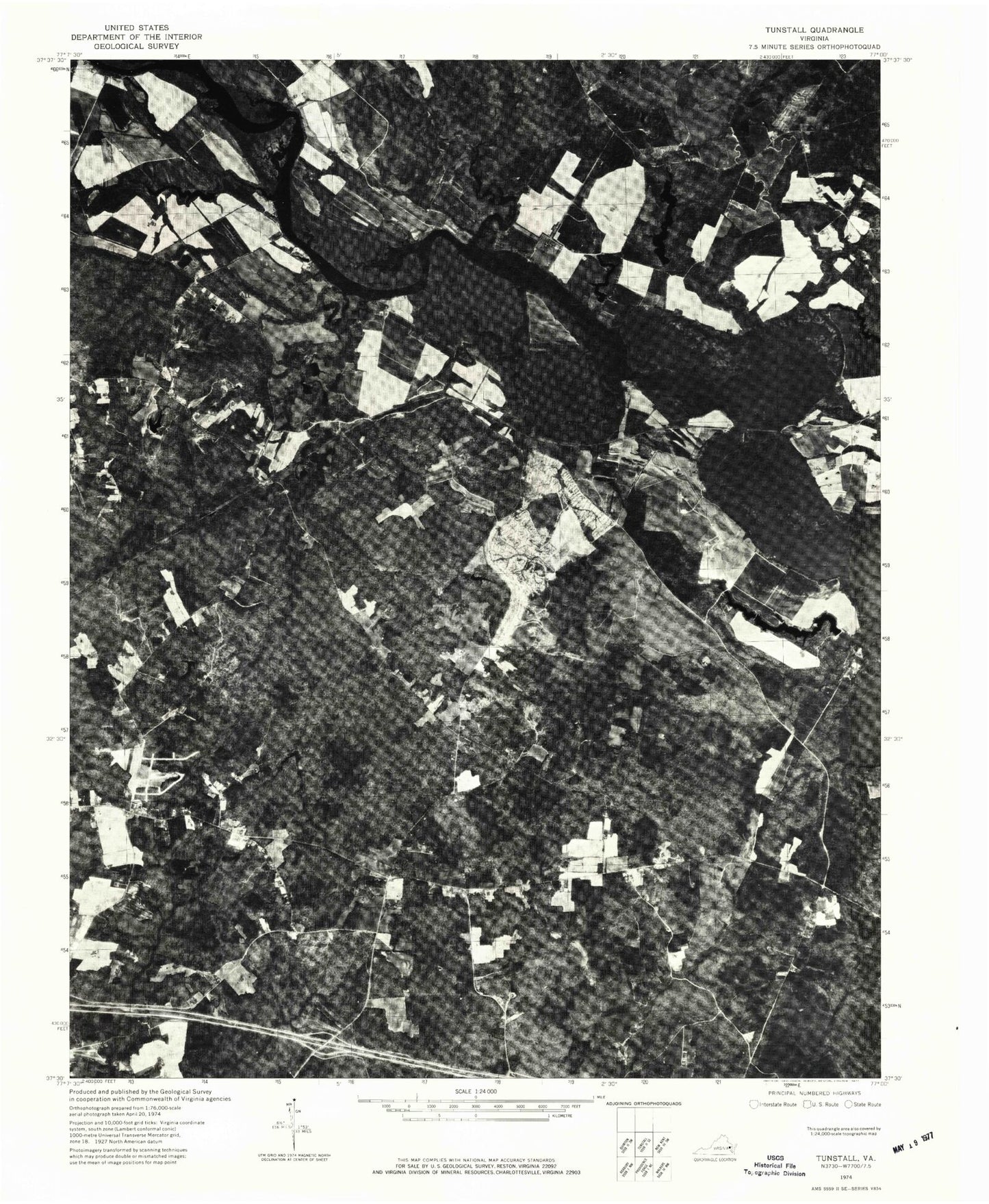
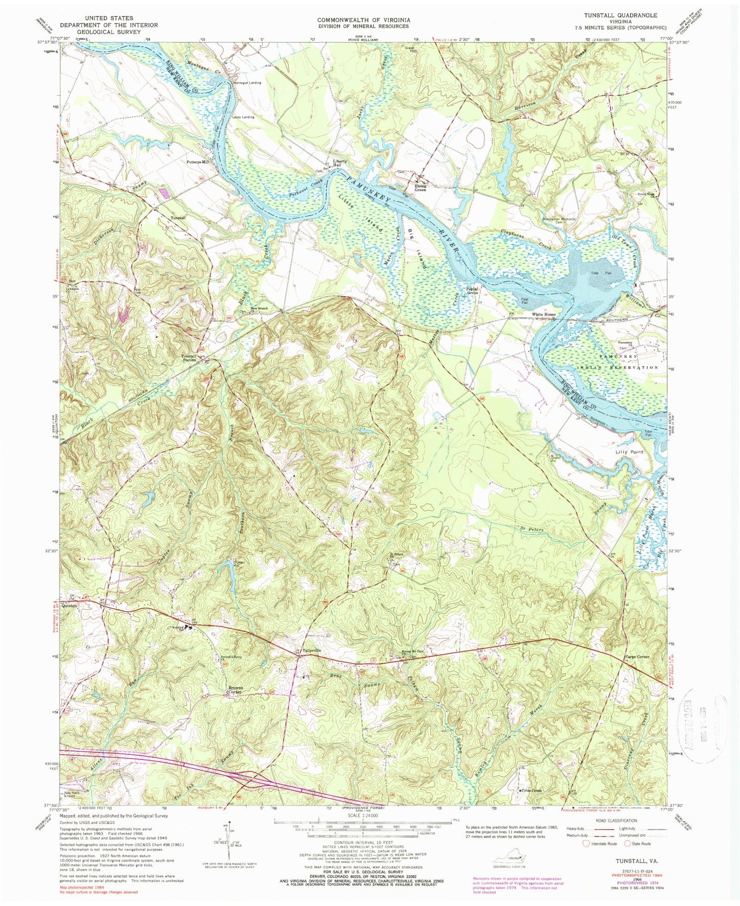
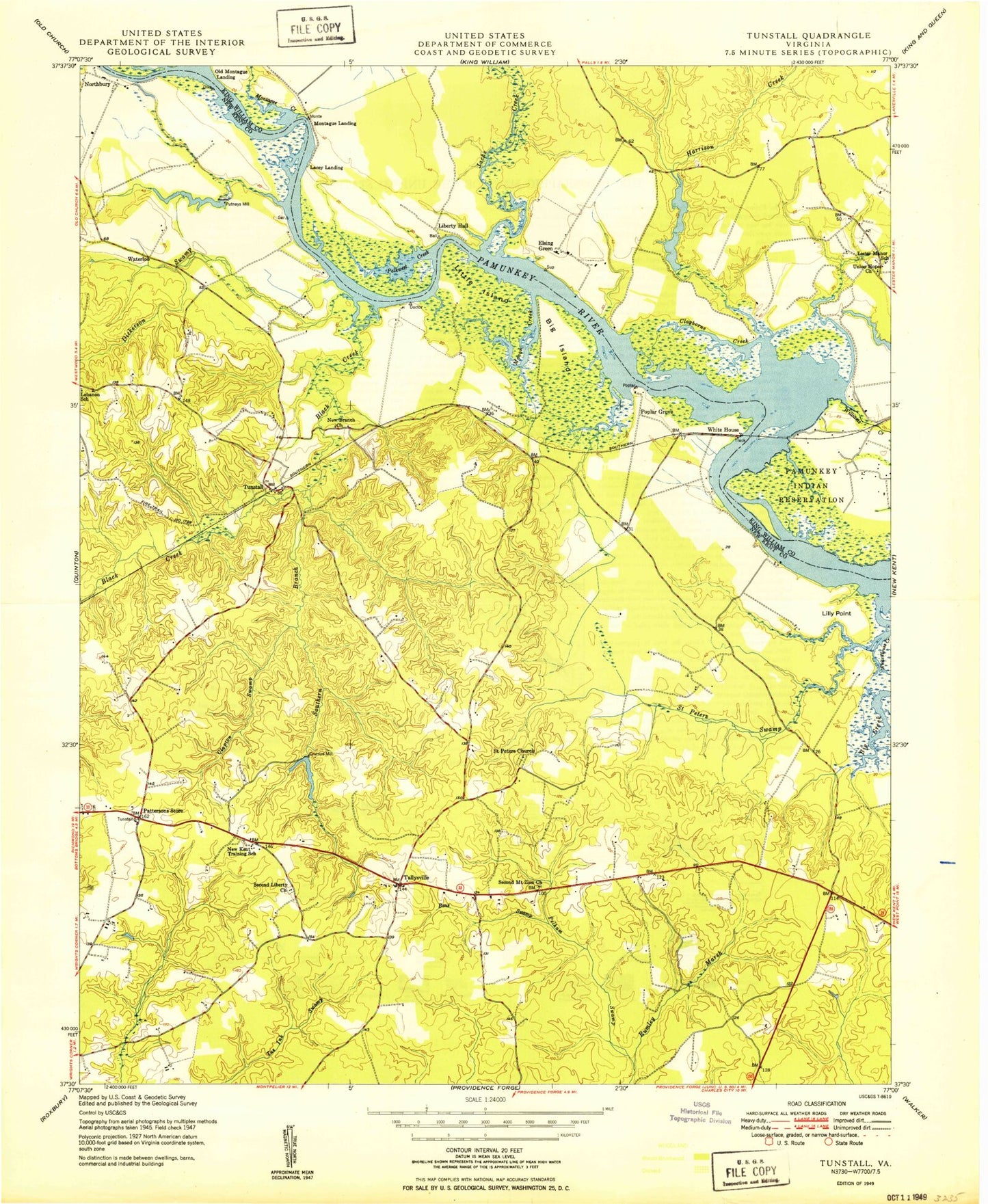
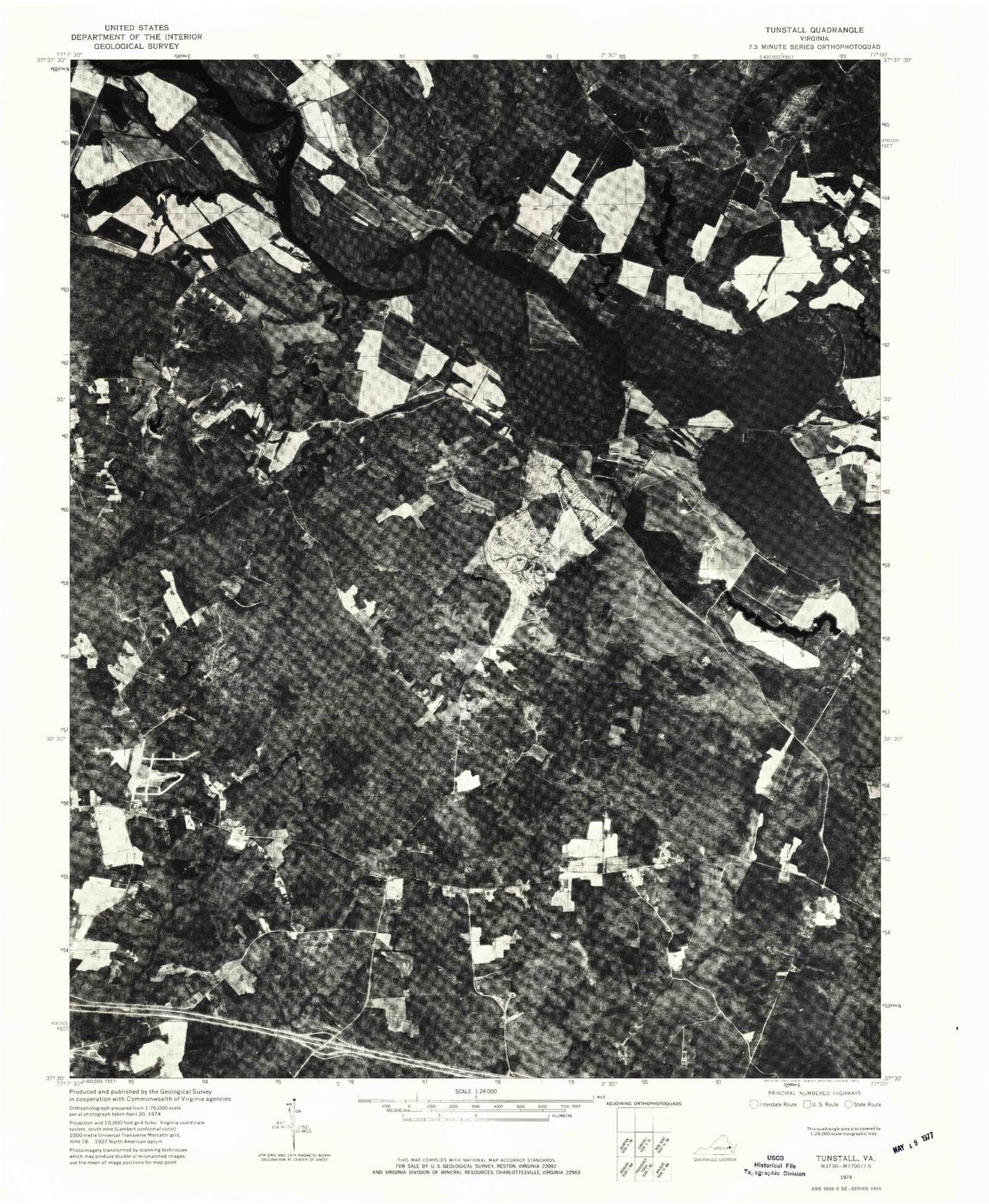
Historical USGS topographic quad map of Tunstall in the state of Virginia. Typical map scale is 1:24,000, but may vary for certain years, if available. Print size: 24" x 27"
This quadrangle is in the following counties: King William, New Kent.
The map contains contour lines, roads, rivers, towns, and lakes. Printed on high-quality waterproof paper with UV fade-resistant inks, and shipped rolled.
Contains the following named places: Beus Swamp, Big Island, Black Creek, Broad Creek, Clayborne Creek, Clopton Swamp, Criss Cross, Dickerson Swamp, Gregory Bar, Harrison Creek, Jacks Creek, Lebanon Church, Liberty Hall, Lilly Point, Little Island, Macon Creek, Mallory Creek, Matton Creek, Montague Creek, New Branch Church, Old Town Creek, Pamunkey Church, Pamunkey Reservation, Pelham Swamp, Polkwest Creek, Quinton, Rising Mount Zion Baptist Church, Rockahock Bar, Saint Peters Church, Saint Peters Swamp, Second Liberty Church, Southern Branch, Tunstall Station, Union Hope Church, George W Watkins Elementary School, White House, White House Creek, Winchester Memorial Cemetery, Carps Corner, Poplar Grove, Tallysville, Ringer Bar, Old Town Farm Pond, Lafferty Dam, Lafferty Pond, Lafferty Dam Number Two, Groves Dam, Groves Lake, Browns Corner, Crumps Mill, Elsing Green, Lacey Landing, Montague Landing, Putneys Mill, Tunstall, Lebanon School (historical), New Kent County Elementary School, Pattersons Store, Richardson (historical), Saint Peters Cemetery, Second Liberty School (historical), White House School (historical), Old Montague Landing (historical), District 1, Liberty Hall Cemetery, New Kent Fire - Rescue Station 2 / Quinton Volunteer Fire and EMS, Pamunkey Indian Museum, New Covenant Community Church, Castle Farm, Beus Swamp, Big Island, Black Creek, Broad Creek, Clayborne Creek, Clopton Swamp, Criss Cross, Dickerson Swamp, Gregory Bar, Harrison Creek, Jacks Creek, Lebanon Church, Liberty Hall, Lilly Point, Little Island, Macon Creek, Mallory Creek, Matton Creek, Montague Creek, New Branch Church, Old Town Creek, Pamunkey Church, Pamunkey Reservation, Pelham Swamp, Polkwest Creek, Quinton, Rising Mount Zion Baptist Church, Rockahock Bar, Saint Peters Church, Saint Peters Swamp, Second Liberty Church, Southern Branch, Tunstall Station, Union Hope Church, George W Watkins Elementary School, White House, White House Creek, Winchester Memorial Cemetery, Carps Corner, Poplar Grove, Tallysville, Ringer Bar, Old Town Farm Pond, Lafferty Dam, Lafferty Pond, Lafferty Dam Number Two, Groves Dam, Groves Lake, Browns Corner, Crumps Mill, Elsing Green, Lacey Landing, Montague Landing, Putneys Mill, Tunstall, Lebanon School (historical), New Kent County Elementary School, Pattersons Store, Richardson (historical), Saint Peters Cemetery, Second Liberty School (historical), White House School (historical), Old Montague Landing (historical), District 1, Liberty Hall Cemetery, New Kent Fire - Rescue Station 2 / Quinton Volunteer Fire and EMS, Pamunkey Indian Museum, New Covenant Community Church, Castle Farm
