MyTopo
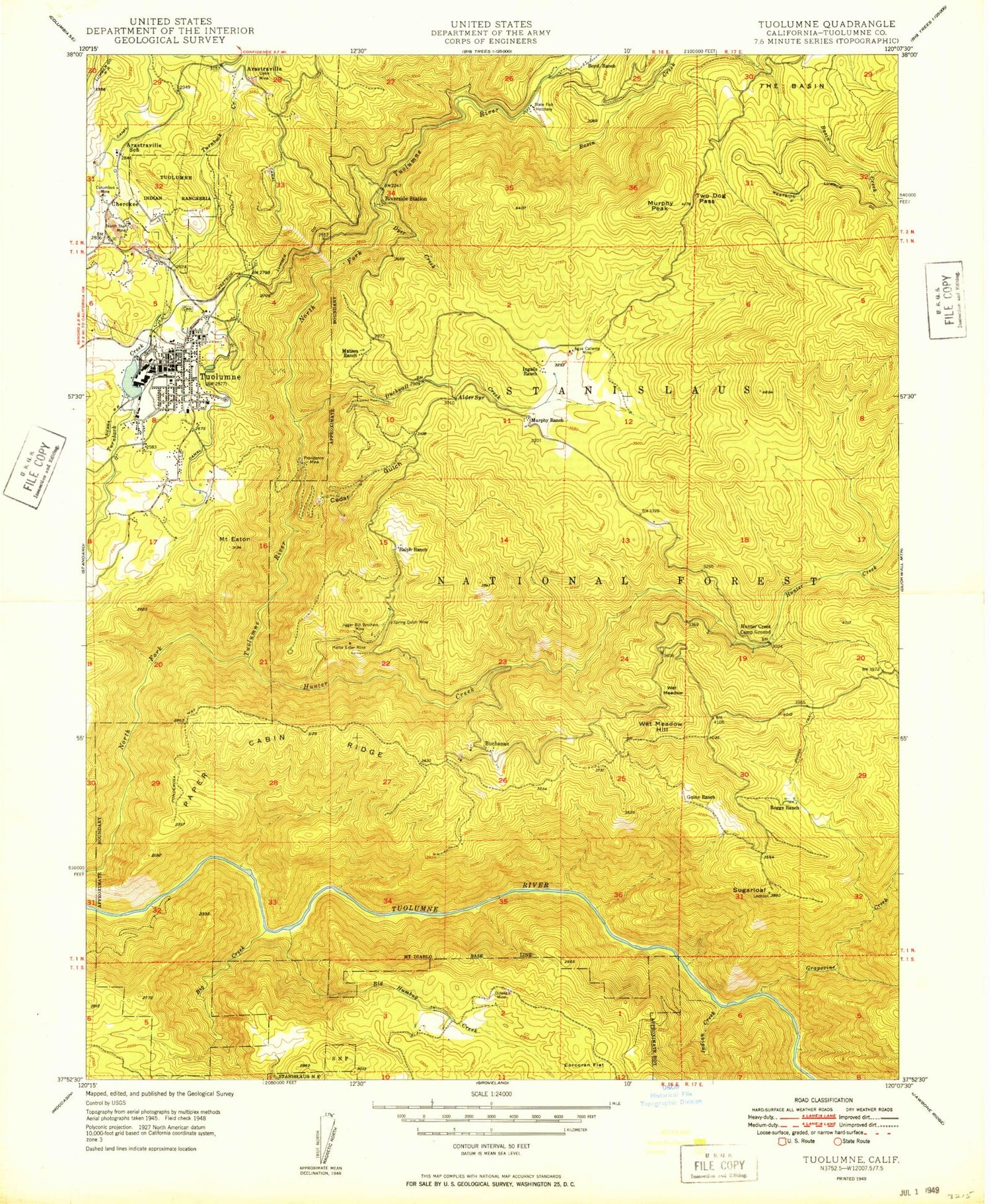
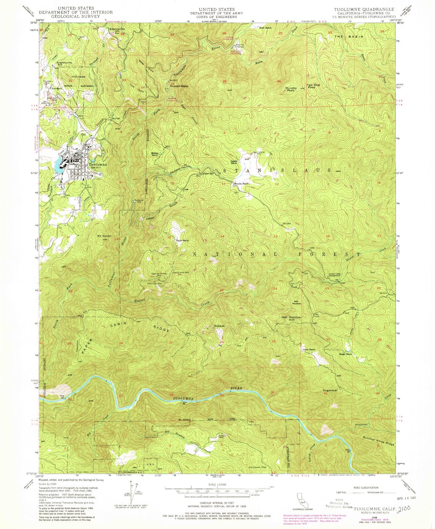
Classic USGS Tuolumne California 7.5'x7.5' Topo Map
Couldn't load pickup availability
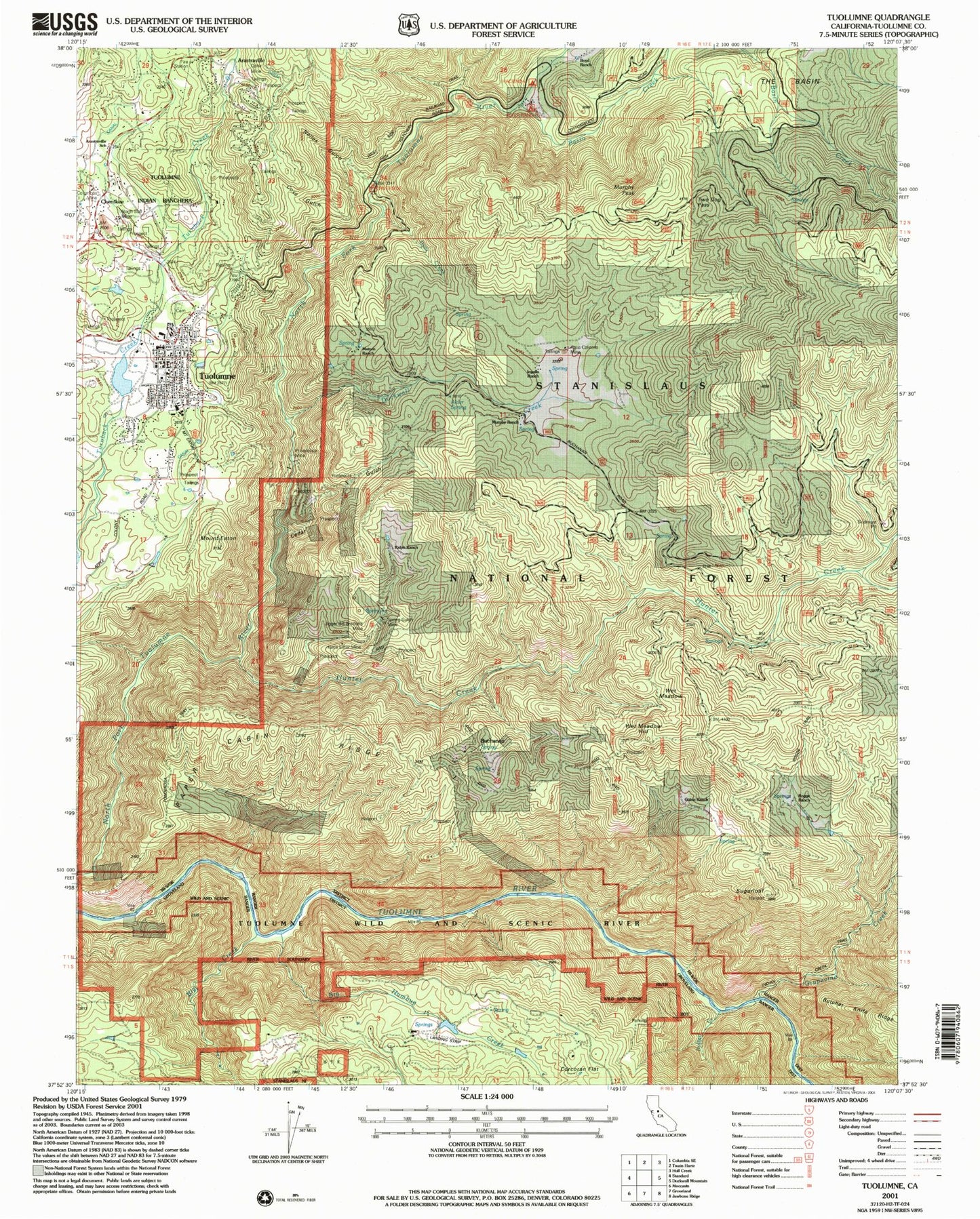
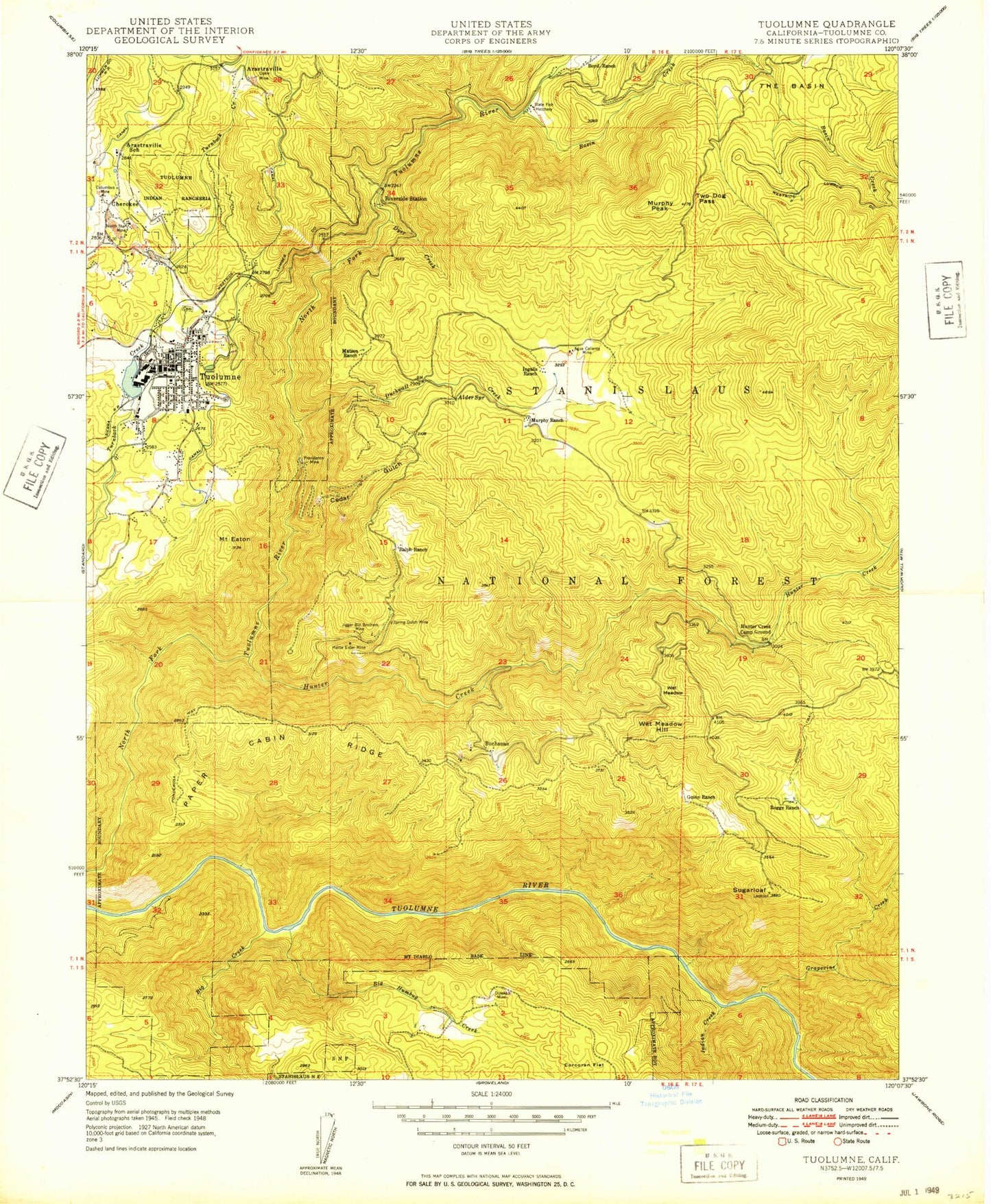
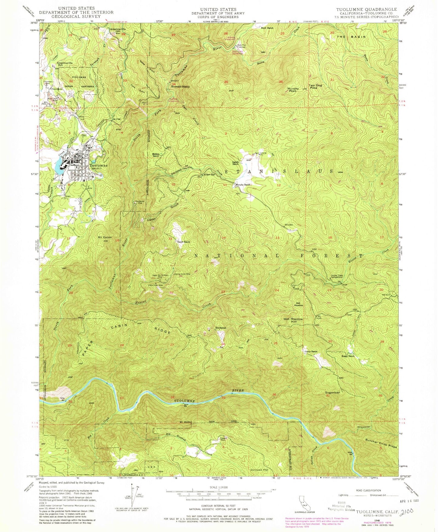
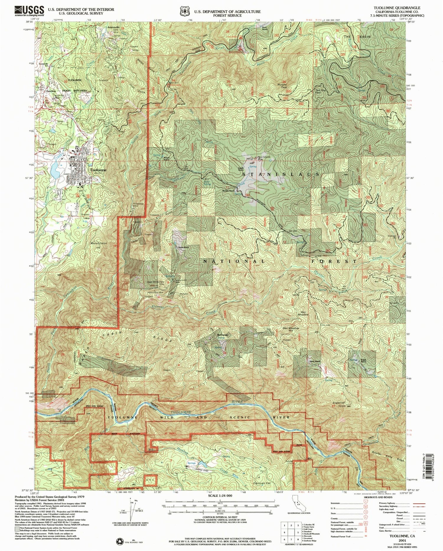
Historical USGS topographic quad map of Tuolumne in the state of California. Map scale may vary for some years, but is generally around 1:24,000. Print size is approximately 24" x 27"
This quadrangle is in the following counties: Tuolumne.
The map contains contour lines, roads, rivers, towns, and lakes. Printed on high-quality waterproof paper with UV fade-resistant inks, and shipped rolled.
Contains the following named places: Alder Spring, Aqua Caliente Mine, Arastraville, Arastraville School, Basin Creek, Big Creek, Big Humbug Creek, Boyd Ranch, Buchanan, Carter's Cemetery, Cedar Gulch, Cherokee, Cherokee Arastraville Cemetery, Columbus Mine, Community Assembly of God Church, Corcoran Flat, Duckwall Creek, Dyer Creek, Grapevine Creek, Guinn Ranch, Hattie Ester Mine, Hermitage Airport, Hunter Creek, Hunter Creek Camp Ground, Indian Creek, Ingalls Ranch, Jigger Bill Brothers Mine, Matsen Ranch, Memorial Hall, Mount Eaton, Murphy Peak, Murphy Ranch, North Star Mine, Ophir Mine, Paper Cabin Ridge, Pentecostal Church of God, Providence Mine, Ralph Ranch, River Ranch, Riverside Picnic Area, Riverside Station, Rogge Ranch, Rogge Trail, Spring Gulch Mine, Sugarloaf, Summerville Elementary School, Tuolumne, Tuolumne City, Tuolumne City Census Designated Place, Tuolumne City Fire Protection District 73, Tuolumne County Fire Department Station 53 Mono Village, Tuolumne Log Pond 558 Dam, Tuolumne Memorial Park, Tuolumne Post Office, Tuolumne Rancheria, Tuolumne Rancheria Fire Department, Two Dog Pass, Wet Meadow, Wet Meadow Hill, ZIP Code: 95379
