MyTopo
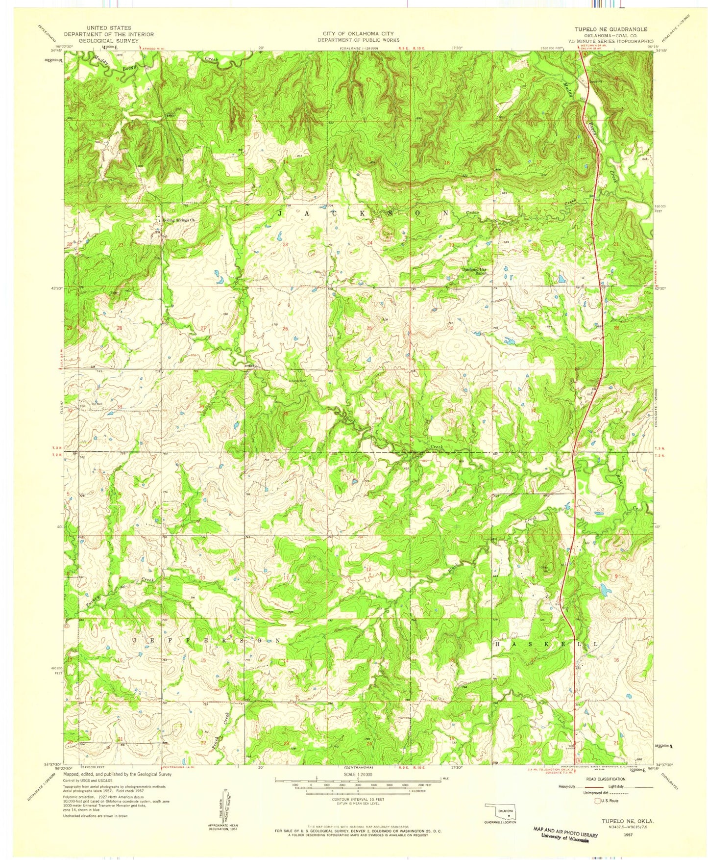
Classic USGS Tupelo NE Oklahoma 7.5'x7.5' Topo Map
Regular price
$16.95
Regular price
Sale price
$16.95
Unit price
per
Couldn't load pickup availability
Historical USGS topographic quad map of Tupelo NE in the state of Oklahoma. Map scale may vary for some years, but is generally around 1:24,000. Print size is approximately 24" x 27"
This quadrangle is in the following counties: Coal.
The map contains contour lines, roads, rivers, towns, and lakes. Printed on high-quality waterproof paper with UV fade-resistant inks, and shipped rolled.
Contains the following named places: Black Creek, Boiling Spring Indian Cemetery, Boiling Springs Church, Cedar Creek, Diamond Bar Ranch, Globe Cemetery, Pine Creek, Rock Creek Farm Airport