MyTopo
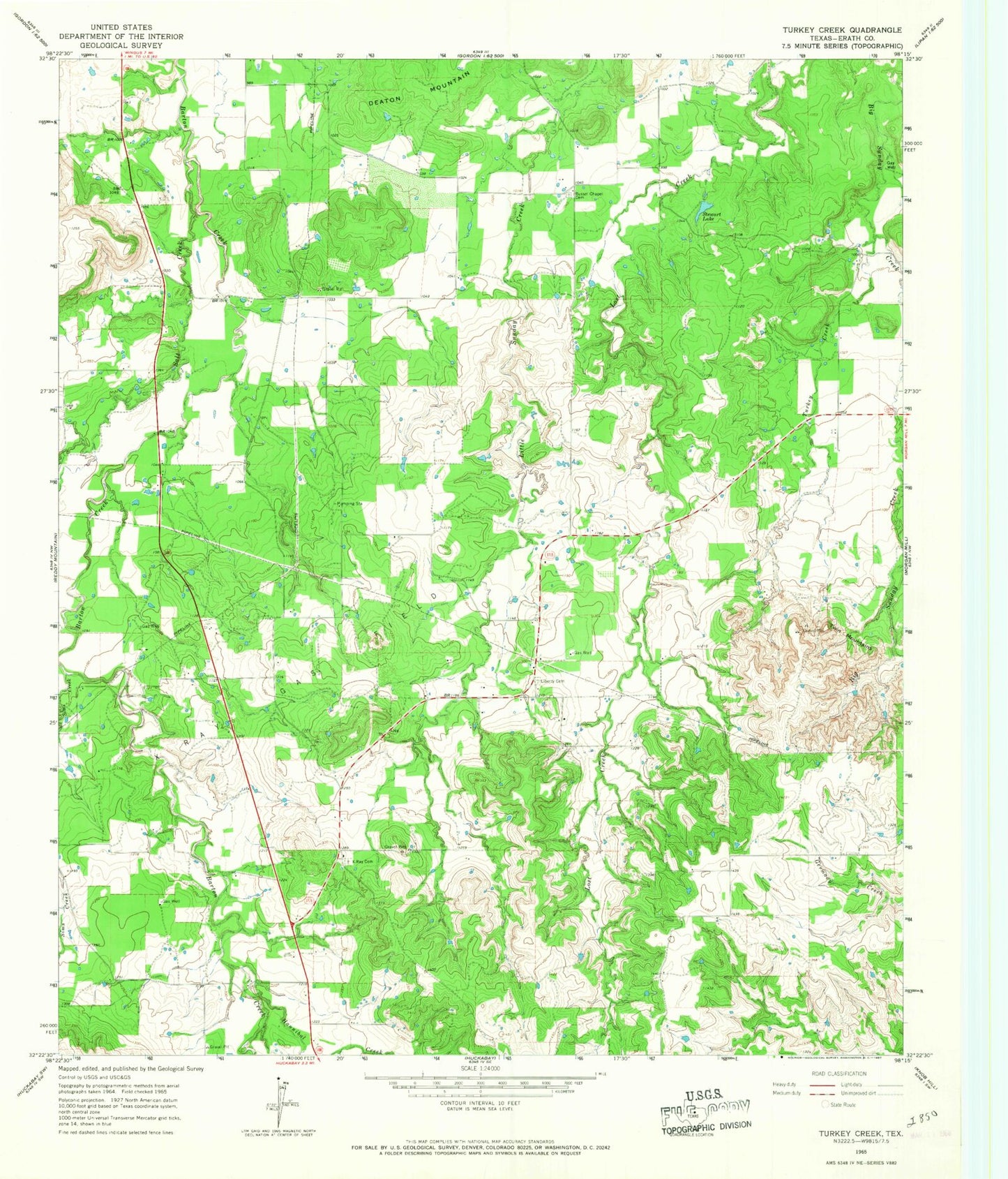
Classic USGS Turkey Creek Texas 7.5'x7.5' Topo Map
Regular price
$16.95
Regular price
Sale price
$16.95
Unit price
per
Couldn't load pickup availability
Historical USGS topographic quad map of Turkey Creek in the state of Texas. Map scale may vary for some years, but is generally around 1:24,000. Print size is approximately 24" x 27"
This quadrangle is in the following counties: Erath.
The map contains contour lines, roads, rivers, towns, and lakes. Printed on high-quality waterproof paper with UV fade-resistant inks, and shipped rolled.
Contains the following named places: Clapp Lake, Clapp Lake Dam, Dearing Ranch Airport, Deaton Mountain, Hannibal Creek, Kimzey Airport, Liberty Cemetery, Russel Chapel Cemetery, Salt Creek, Sims Creek, Stewart Lake, Stewart Lake Dam, Turkey Creek, Twin Mountains, X-Ray Cemetery, X-Ray Gas Field