MyTopo
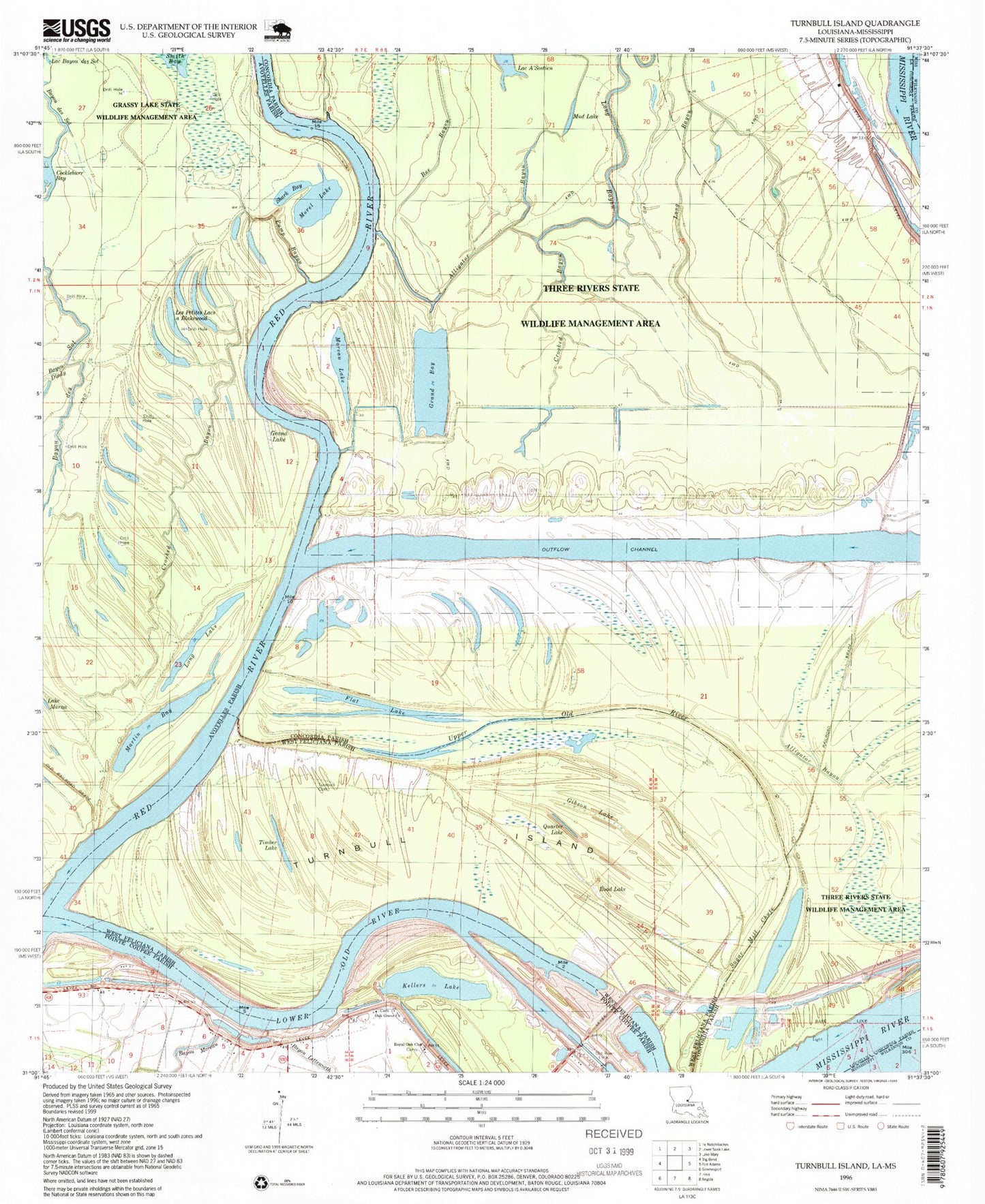
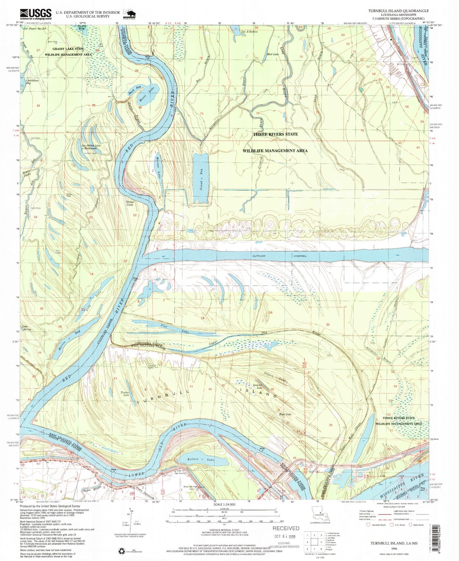
Classic USGS Turnbull Island Louisiana 7.5'x7.5' Topo Map
Couldn't load pickup availability
Historical USGS topographic quad map of Turnbull Island in the state of Louisiana. Map scale may vary for some years, but is generally around 1:24,000. Print size is approximately 24" x 27"
This quadrangle is in the following counties: Avoyelles, Concordia, Pointe Coupee, West Feliciana, Wilkinson.
The map contains contour lines, roads, rivers, towns, and lakes. Printed on high-quality waterproof paper with UV fade-resistant inks, and shipped rolled.
Contains the following named places: Above Old River Revetment, Ashridge, Barbre Landing, Bayou Dindy, Belair Plantation, Chandler Landing, Cockleburr Bay, Coochie Revetment, Crooked Bayou, Evening Star Church, Flat Lake, Gibson Lake, Grand Bay, Grand Lake, Kellers Lake, Kellers Plantation, King Solomon Church, King Solomon School, Les Petits Lacs a Blakewood, Long Bayou, Long Lake, Lower Ballymagan Oil Field, Lower Old River, Marcotte Landing, Martin Bay, Merrick, Moreau Lake, Morel Lake, Mud Lake, Naples, North Bank Revetment, Oak Grove Cemetery, Oak Grove Church, Oak Grove School, Old River Lock, Old River Outflow Channel, Pump Bayou, Quarter Lake, Red River, Road Lake, Royal Oak Cemetery, Royal Oak Church, Shark Bay, Spanish Fort, Sugar Mill Chute, Three Rivers Wildlife Management Area, Timber Lake, Torras Community School, True Vine Church, Turnbull Cemetery, Turnbull Island, Turnbull Island Revetment, Union Chapel, Union Chapel Cemetery, Upper Old River


